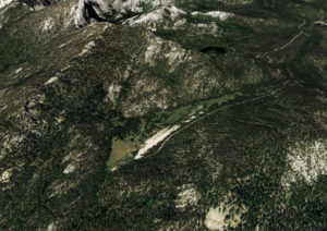
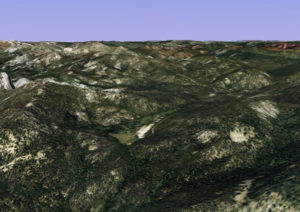
Description
Remarks:
Circle to determine possible traffic. Field is located on slope of mountain with considerable grade; recommended landing up hill and take off down hill. This field considered dangerous and not recommended for use other than by very experienced pilots. Temperature corrections during summer months will show better than 10,000' ground operation.
Runway
-
Length
2100
-
Width
150
-
Surface
SAND
Details
-
Facility ID
No ID 032
-
Elevation
8400
-
CTAF
122.9
Location
Lat: 45.05597000000 , Long: -114.55955000000 - IDAHO, USA


Redoubt
November 3, 2023 at 7:31 amNo longer closed. Crews worked on this LZ in the past month.