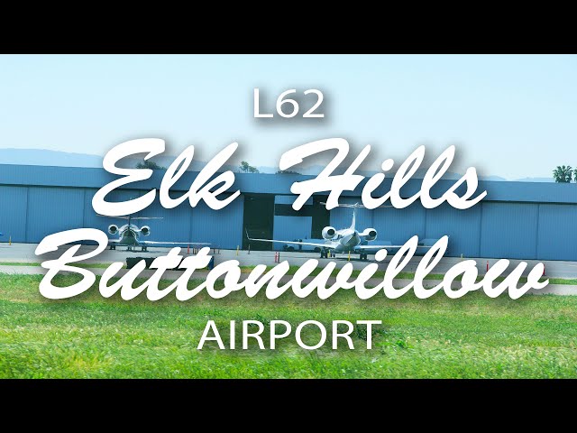
Sign in or Register
    • Featured
    • Recreational
    • Restricted
    • Off-Airport
    • Abandoned
    • Outpost
    • Home
    • Explore
    • Shop

    ELK HILLS-BUTTONWILLOW, CA

    • Overview
    • Reviews / PIREPs 0
    • Events
    • Videos
    • prev
    • next
    • Bookmark
    • Share
    • Leave a Review / PIREP
    • Report
    • prev
    • next
    Description

    Not much there. No buildings, just a strip and a parking area. Great place to practice cross wind landings in the afternoon though.

    Runway
    • Length

      3260

    • Width

      50

    • Surface

      ASPH-F

    Details
    • Facility ID

      L62

    • Elevation

      326

    • CTAF

      122.9

    • State

      CA

    Location

    Lat: 35.35344444444 , Long: -119.47972222222 - CALIFORNIA, USA

    Get Directions
    Categories
    • Recreational
    Region
    • Western Pacific
    Ownership
    • Public
    Author
    shortfield
    mood_bad
  • No comments yet.
  • Add a review

    Leave a Reply · Cancel reply

    You must be logged in to post a comment.

    YouTube Search
    Prev 1 of 1 Next
    • Flying with Tony Arbini into the Elk Hills-ButtonWillow Airport(L62) Buttonwillow, California

      Flying with Tony Arbini into the Elk Hills-ButtonWillow Airport(L62) Buttonwillow, California

      Landing patterns brings you another in-depth video, guiding you on our landing into the Elk Hills-Buttonwillow Airport (L62). Our landing into the Elk Hills-Buttonwillow Airport in Buttonwillow California provides you with lots of information on charts, weights, altitudes, and airport information for pilots to plan for a safe landing!
    • Flying with Tony Arbini into the Colusa County Airport (O08)-Colusa, California

      Flying with Tony Arbini into the Colusa County Airport (O08)-Colusa, California

      Landing patterns brings you another in-depth video, guiding you on our landing into the Colusa County Airport (O08). Our landing into the Elk Hills-Buttonwillow Airport in Buttonwillow California provides you with lots of information on charts, weights, altitudes, and airport information for pilots to plan for a safe landing!
    • Innocent Trike Flight

      Innocent Trike Flight

      4 trike pilots (David, Jeff, Ken and me) enjoyed the magnificent sunset flight near Buttonwillow Airport in Central California. The canal in the movie is a part of "California Aqueduct" system, running from the Northern to Southern California over 700 miles, providing precious water to the many firms and cities in the desert environment.

      New wing in the video: Northwing Mustang 3 (15m) single surface strut wing. Trim speed 50 to 55 MPH. Very easy to set up and down and pack in trailer.
    Prev 1 of 1 Next

    You May Also Be Interested In

    VOSBURGH AIRFIELD, CA

    Vosburgh Airfield in the New Cuyama valley is an interesting destination.  7 miles east of New Cuyama…
    • 34.92363333333, -119.57150000000
    • Restricted

    KERN VALLEY, CA

    This is a wonderful place to fly into. The airport is about 2-miles form a very nice town with good…
    • 35.72822222222, -118.41972222222
    • Recreational

    OCEANO COUNTY, CA

    Nice little airport. About a 10 minute walk to the beach. There are several restaraunts also within 5-10…
    • 35.10147222222, -120.62236111111
    • Recreational

    © 2000-2021 shortfield.com

    Cart

      • Featured
      • Recreational
      • Restricted
      • Off-Airport
      • Abandoned
      • Outpost
      • Facebook
      • Twitter
      • WhatsApp
      • Telegram
      • LinkedIn
      • Tumblr
      • VKontakte
      • Mail
      • Copy link