Description
Location Overview
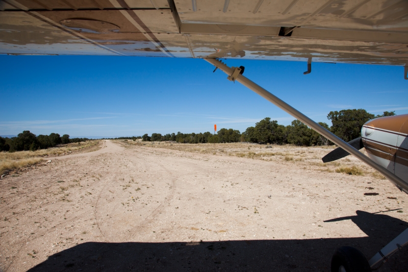
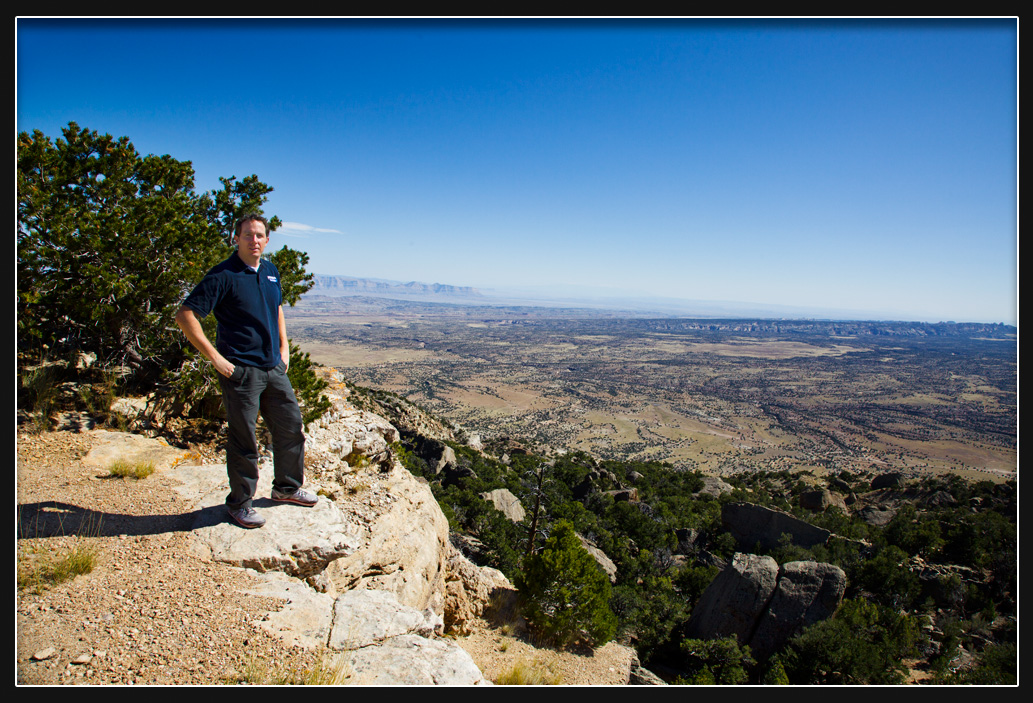
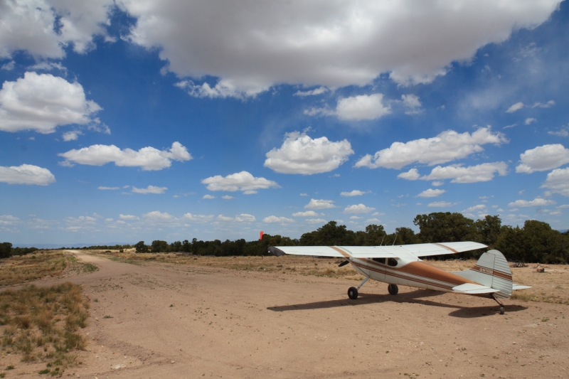
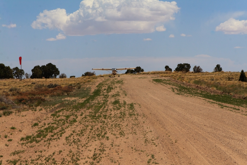
Cedar Mountain sits atop a mesa in Emery County, roughly 25 miles northwest of Green River, Utah, on BLM-managed land. The airstrip rests at the top of Cedar Mountain and delivers sweeping panoramic views of the Wasatch Plateau, Book Cliffs, Henry Mountains, and the La Sal Mountains. The runway is designated 15/33 and measures approximately 2,050 by 47 feet of well-maintained gravel and dirt.
Camping & Recreation
The south end of the airstrip is a spectacular place to camp, overlooking a dramatic drop-off with panoramic views of the Book Cliffs and the Green River valley. A fire ring is present onsite. Pilots should bring their own tie-downs, as no permanent anchors are provided. There are no services available — no restrooms, water, fuel, lights, or cell service — so plan accordingly and pack everything you need.
Notes & Warnings
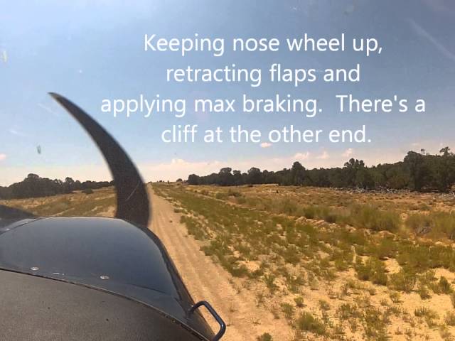
The runway slopes uphill to the south, and the southern end drops off sharply with a 1,500-foot vertical cliff. Pilots must also watch for vehicular traffic, as Cedar Mountain Road runs directly through the southern portion of the runway. At 7,538 feet elevation, density altitude is a serious consideration — plan your aircraft performance and arrival carefully. A windsock was installed in April 2025. While the strip is accessible to pilots with soft-field experience and is one of the more forgiving Utah backcountry strips, an inspection pass before landing is always recommended.
History
No formal recorded history exists for Cedar Mountain Airstrip. The strip sits atop a mesa and supports a microwave relay tower and several other communications towers on the ridge, suggesting it likely saw practical use tied to those installations over the decades. It is managed as a BLM airstrip and has become a popular destination within Utah's extensive backcountry flying community. The Utah Back Country Pilots Association, formed in 1996, has played a key role in preserving and protecting strips like Cedar Mountain, helping ensure they remain accessible to the public.
Runway
-
Length
2090
-
Width
40
-
Surface
DIRT/GRAVEL
Details
-
Facility ID
No ID 085
-
Elevation
7538
-
CTAF
122.9
-
State
Utah
Gallery
Location
Lat: 39.188855, Long: -110.603362 - UTAH, USA


Add a review