Description
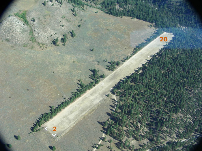
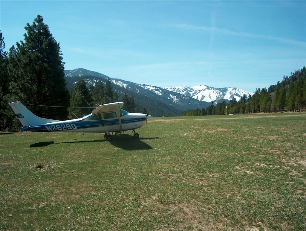
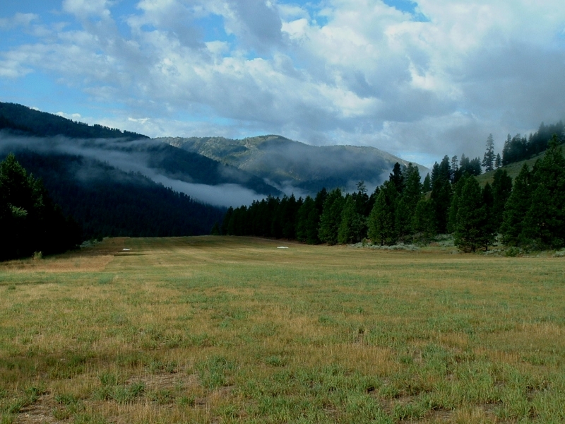
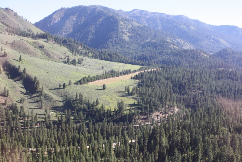
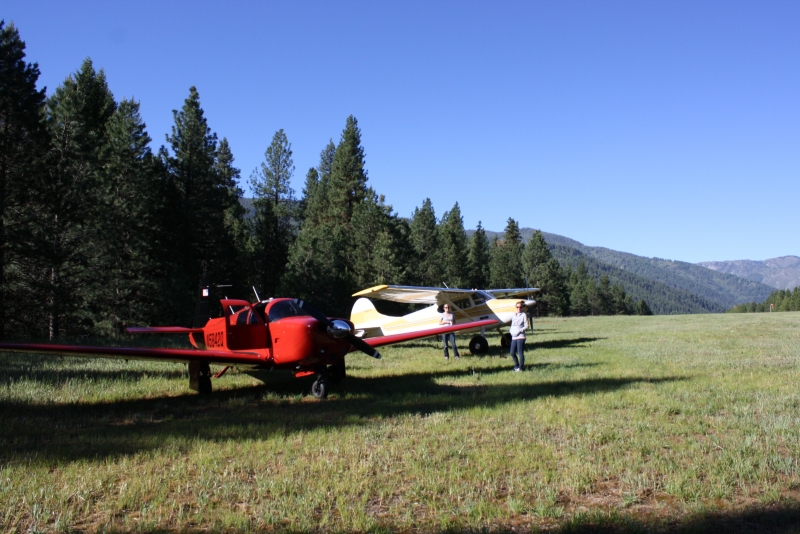
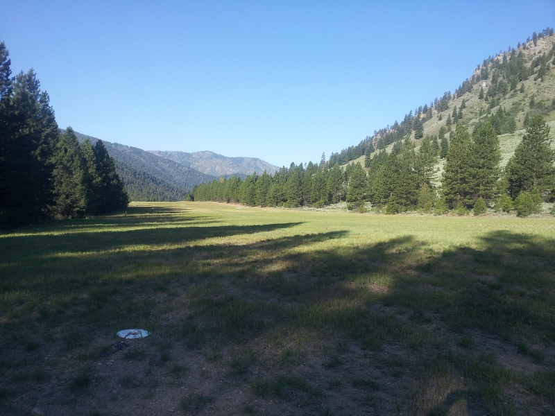
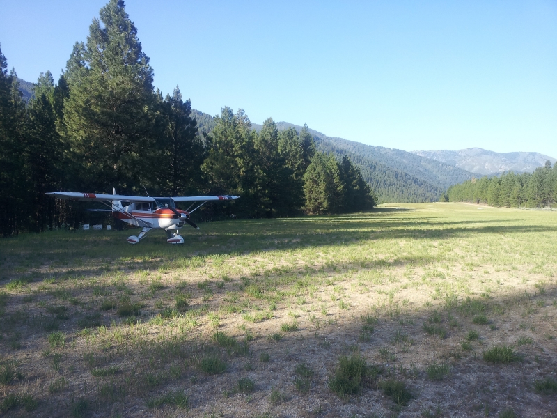
Warm Springs Airport is a beautiful grass airstrip with onsite camping and a nearby hot springs. The runway sits on a bench above the South Fork of the Payette River Valley, about 13 miles east of Loman — elevated just enough to stay visually clear of the river and highway below.
Aircraft tie-downs are on the southeast side near the campground. Like many remote airstrips in the mountainous West, it was originally built for Forest Service fire suppression work, designed to provide access and emergency response capability in an otherwise hard-to-reach area.
The adjacent Warm Springs Airport Campground offers three sites equipped with tables, stoves, drinking water, and a pit toilet.
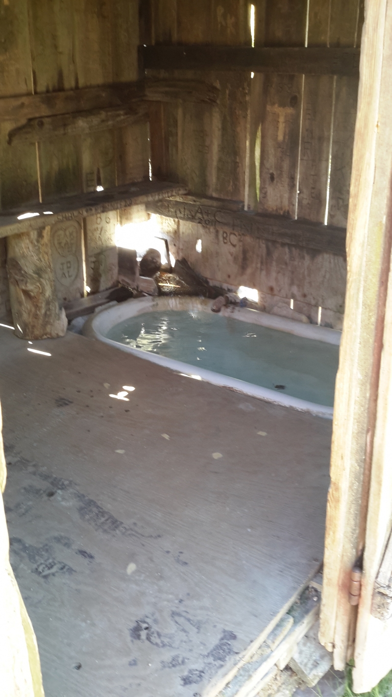
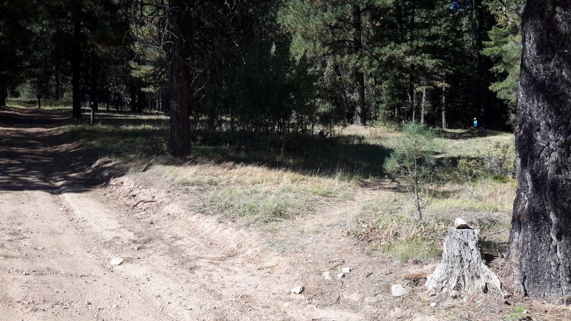
The trail to hot springs is at north end of field - not marked, don't take the one that has a sign with trail #147. The hot springs trail goes off at an angle just south, down to a dirt road leading up to a another nice campsite and then a trail continues to the hot springs. There is a bath house with tub and several different shallow pools of varying temperatures to choose from. Nice walk and the hot springs are interesting.
Runway
-
Length
2850
-
Width
135
-
Surface
TURF-G
Details
-
Facility ID
0U1
-
Elevation
4831
-
CTAF
122.9
Gallery


Location
Lat: 44.14222222222 , Long: -115.31405555556 - IDAHO, USA


Add a review