Description
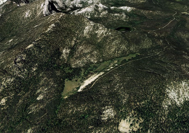
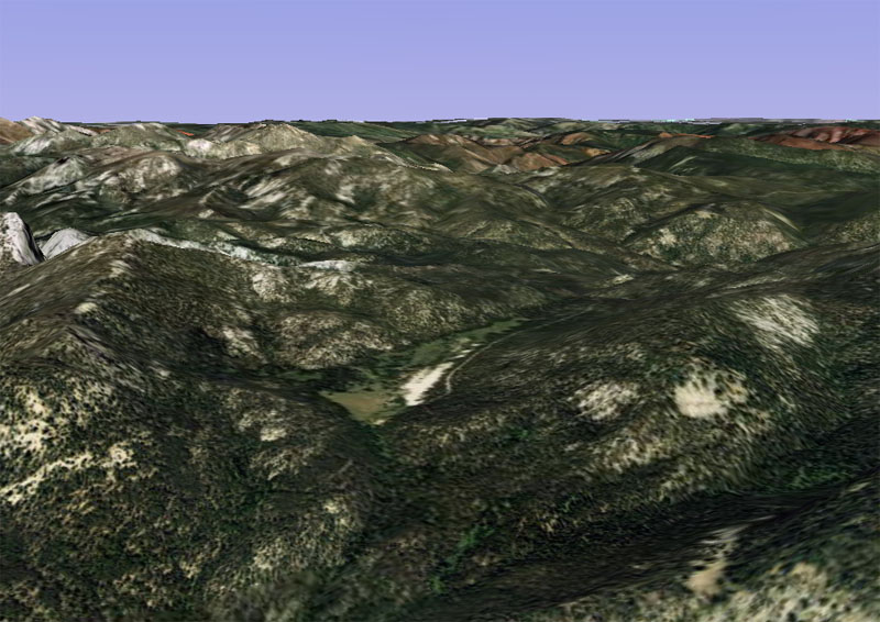
Hoodoo Meadows is a high elevation airstrip located approximately 8 miles east of the Middle Fork of the Salmon River and just south of Sugar Loaf Peak. It offers primitive camping and access to hunting and fishing. Note: the site is also accessible by road.
Pilots should circle the field to assess traffic before approaching, as the strip sits on a mountain slope with a pronounced grade. Landing uphill and departing downhill is strongly recommended. This field is considered hazardous and should only be attempted by highly experienced pilots. During summer months, density altitude corrections will reflect performance conditions equivalent to operating above 10,000 feet.
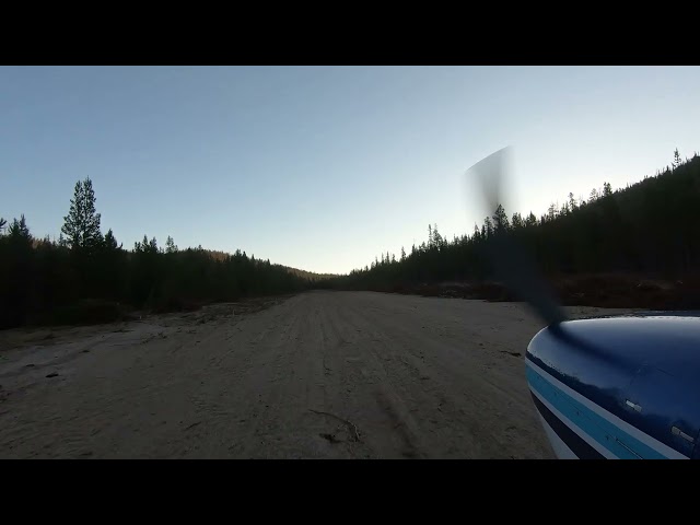
Hoodoo Meadows Airstrip was constructed in 1936 and remained in service for nearly five decades before being abandoned in 1985, a closure attributed to deferred maintenance and the unpredictable afternoon winds common at its high-elevation setting of 8,200 feet. Notably, no accidents were recorded throughout its entire operational life. The runway stretches 2,200 feet in length and approximately 150 feet in width, dimensions more than adequate for normal takeoff and landing operations.
Runway
-
Length
2100
-
Width
150
-
Surface
SAND
Details
-
Facility ID
No ID 032
-
Elevation
8200
-
CTAF
122.9
Gallery
Location
Lat: 45.05597000000 , Long: -114.55955000000 - IDAHO, USA

Redoubt
November 3, 2023 at 7:31 amNo longer closed. Crews worked on this LZ in the past month.