
Description
Location Overview
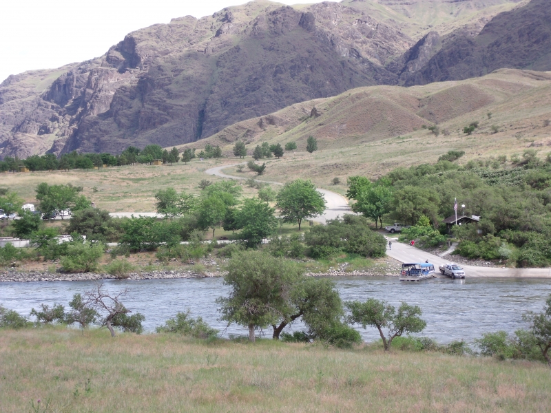
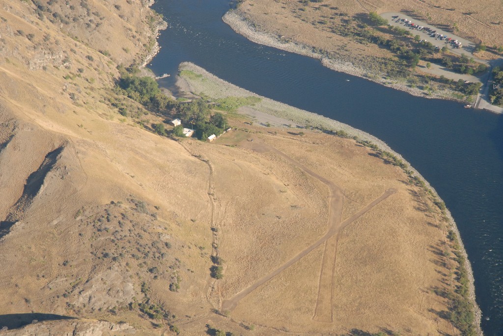
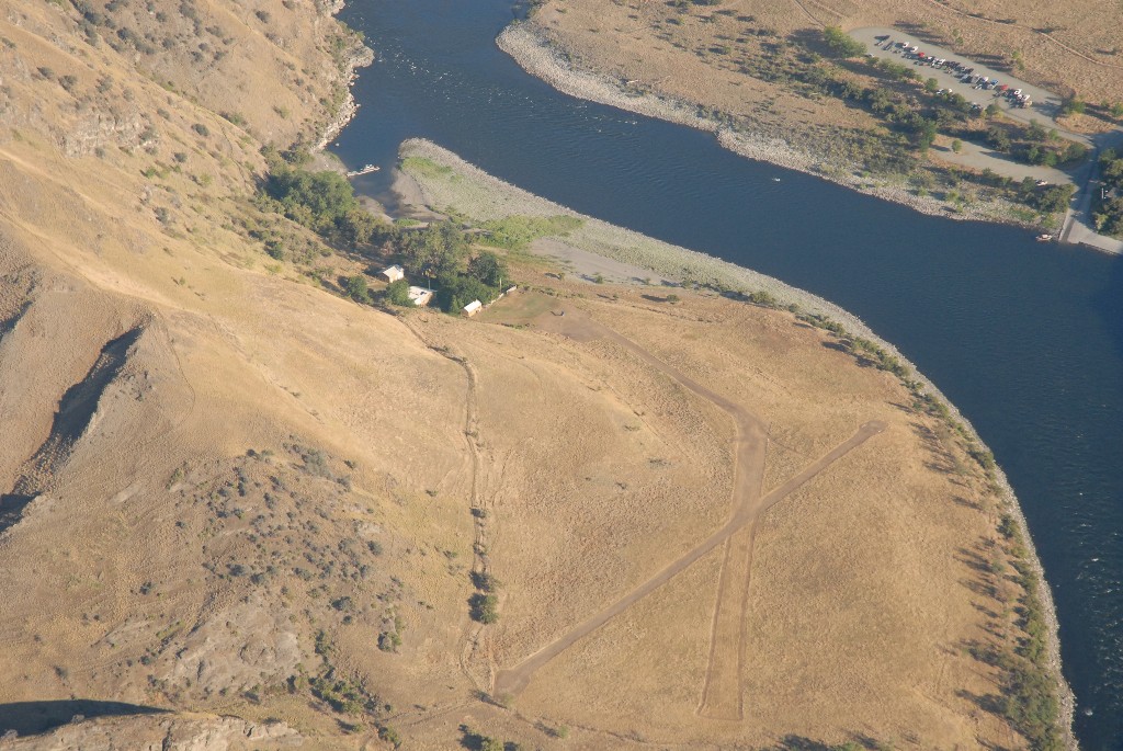
Pittsburg airstrip sits on the Oregon bank of the Snake River within Hells Canyon. The Hells Canyon National Recreation Area encompasses over 652,000 acres of rugged backcountry along the Oregon-Idaho border, with no roads crossing its ten-mile-wide expanse — making the airstrip one of the few practical ways to reach this stretch of the canyon. Of only three roads that penetrate the canyon to the river, Deer Creek Road reaches Pittsburgh Landing on the Idaho side, directly across the water from the airstrip.
Camping & Recreation
Directly across the river is the Pittsburg Landing boat launch and campground on the Idaho side, which offers 28 campsites with toilets, potable water, tables, and fire pits — though crossing the river requires a boat. Pilots can walk through the nearby USFS compound to a boat dock and try to flag down passing river traffic, though getting back to the airstrip presents its own challenge. The broader area offers excellent Snake River fishing, jet boating, and multi-day hiking, with a trail leading south along the river toward Kirkwood Ranch, a historic homestead turned museum about 10 miles away.
Notes & Warnings
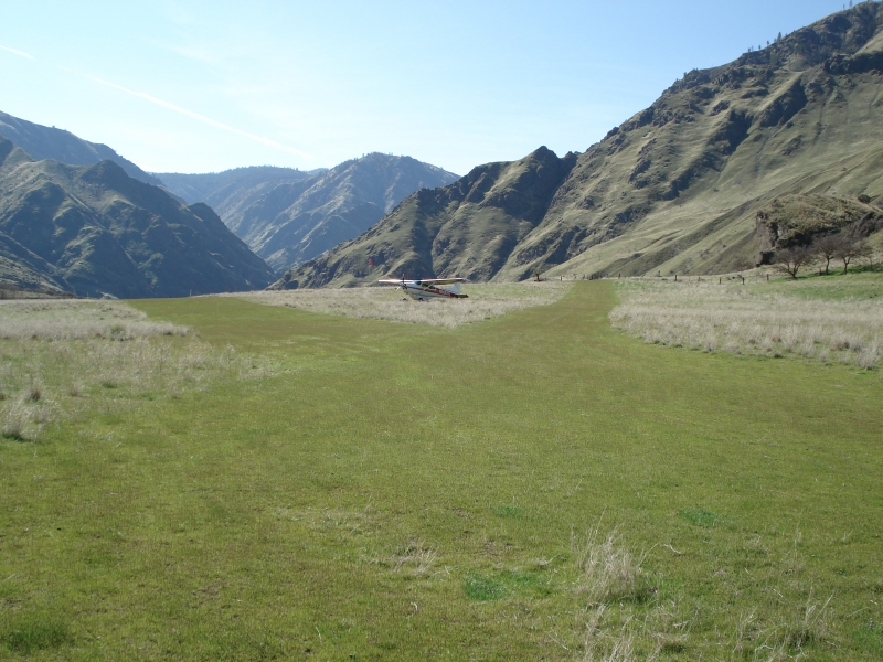
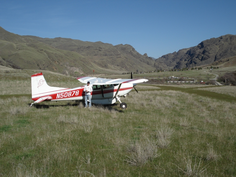
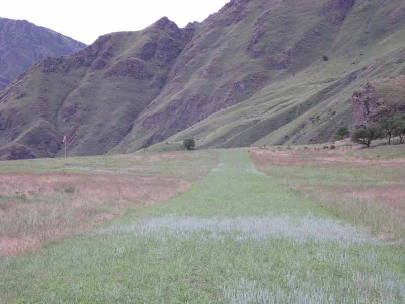
The airstrip features two short, intersecting turf runways: runway 13/31 at 680 feet by 50 feet, and runway 16/34 at 831 feet by 50 feet. Windsocks are positioned at the upstream and inland ends of the strip and at the inland midpoint of the intersection. The extremely short runways demand high pilot proficiency and a capable short-field aircraft. Pilots should watch for animals on the runway surface and rattlesnakes throughout the surrounding area. The nearby buildings constitute a USFS administrative site and are not available for public use. Additionally, pilots should be mindful of their noise footprint, as this heavily visited wild and scenic river corridor is shared with many other backcountry users.
History
Pittsburg Landing has long been one of the most significant access points to the depths of Hells Canyon. The Snake River National Recreation Trail along the Idaho side of the river, designated in 1980, has its northern trailhead at Pittsburg Landing, anchoring the area as a gateway to the canyon for over a century of explorers, ranchers, and river travelers. The airstrip itself is part of a network of six backcountry strips managed under the 2003 Hells Canyon National Recreation Area Comprehensive Management Plan. Today the strip is kept alive through volunteer stewardship — annual work parties organized by the Idaho Aviation Association and the Recreational Aviation Foundation have maintained Pittsburg Landing alongside neighboring strips like Dug Bar, Salmon Bar, Big Bar, and Sluice Creek, ensuring this remote slice of the canyon remains accessible to backcountry aviators.
Runway
-
Length
1050
-
Width
75
-
Surface
TURF
All Runways
| Identifier | Length | Width | Surface |
| 15/33 | 850 | 50 | TURF |
| 12/30 | 1050 | 75 | TURF |
Details
-
Facility ID
No ID 043
-
Elevation
1179
-
CTAF
122.9
Gallery
Location
Lat: 45.62970000000 , Long: -116.47510000000 - OREGON, USA




Add a review