
Description
Location Overview
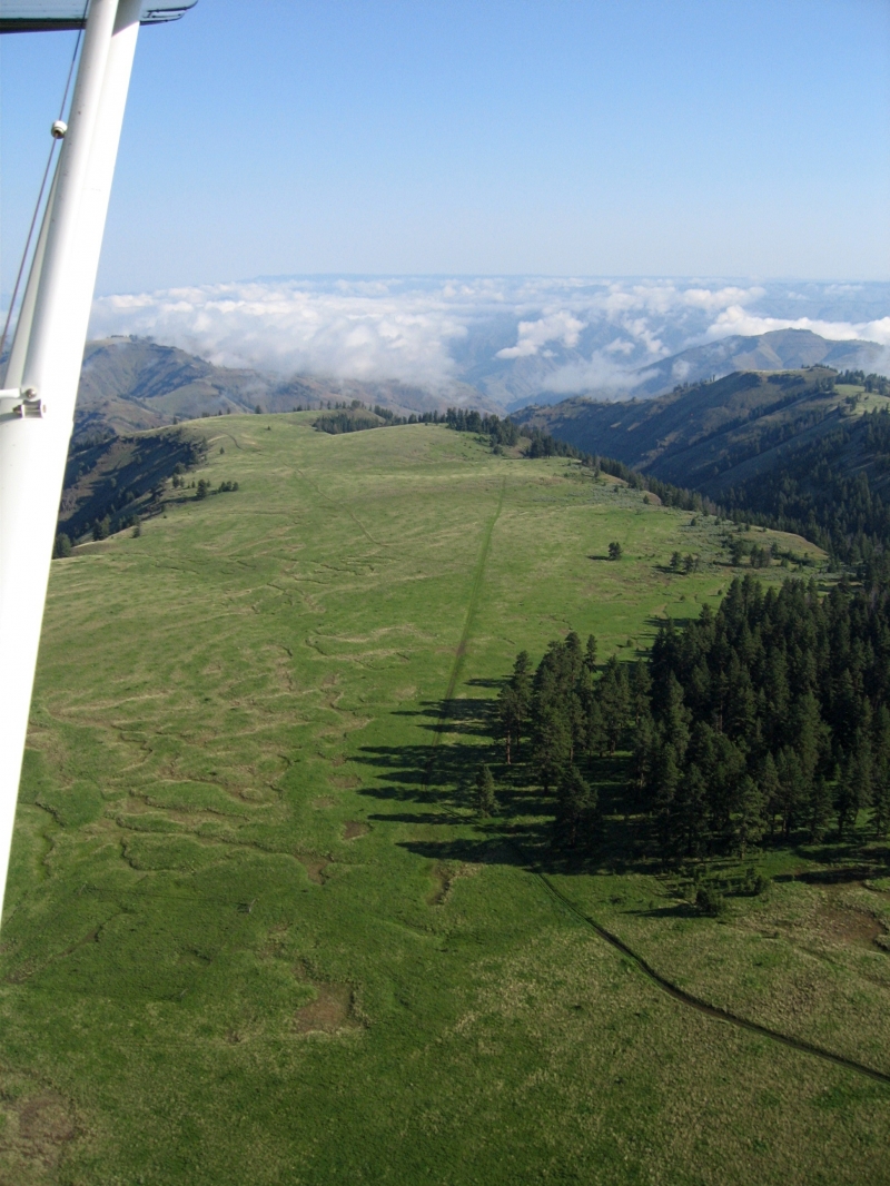
Lord Flat sits high on Summit Ridge above the Snake River, on the Oregon side of Hells Canyon, roughly 11 miles northeast of Imnaha within the Hells Canyon National Recreation Area. It's a mostly flat, grassy area with views of surrounding canyons, the Wallowa Mountains, and Idaho's Seven Devils Mountains. The site is extremely isolated — roughly a two-and-a-half-hour drive from the nearest reference point (Memaloose) even with a capable modern vehicle, since no roads connect directly to the flat.
Camping & Recreation
A shady grove of ponderosa pines stands at the south end of the airstrip, making a scenic camping spot, and a more established campsite lies about a quarter mile north in the woods. There are no improved campsites or amenities, so visitors camp where they like, though potable water is available at Dorrance Cow Camp, a USFS facility about a mile south of the airstrip. A piped spring is also located about a tenth of a mile northeast of the strip's north end. The area is popular for hiking (it connects to the Summit Ridge/Lord Flat Trail toward Dug Bar) and wildlife viewing, with elk, bighorn sheep, deer, and bear commonly spotted nearby.
Notes & Warnings
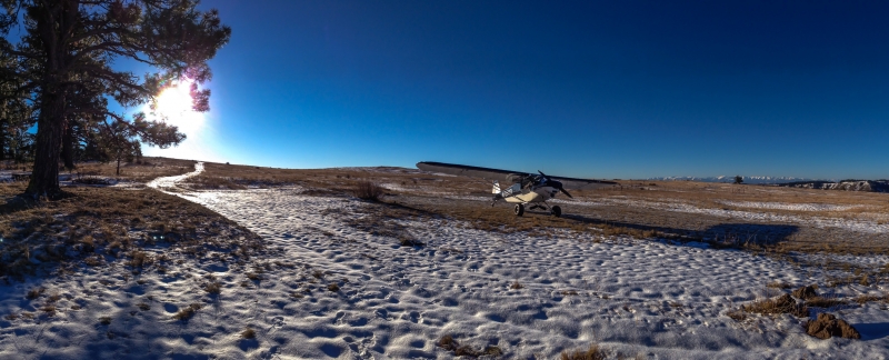
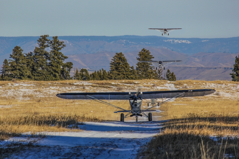
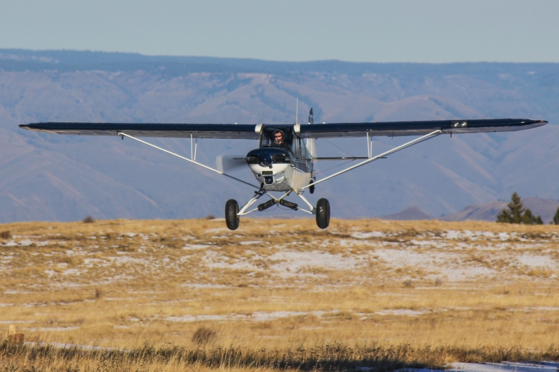
The field has a 1,729-foot grass runway (other sources cite closer to 2,100 feet), oriented north-south at about 5,300 feet MSL, though FAA data lists field elevation nearer 5,594 feet. The strip is described as very rough, and being perched near the canyon rim, it can remain snow-covered well into June. Painted boulders mark the field, and the owner has requested it be charted. It's mainly used by local guides dropping off hunters, and it sees regular traffic from private planes used for camping and hunting trips — arrivals of half a dozen aircraft in a morning aren't unusual during hunting season. Given the rough surface, elevation, and remoteness, it's considered a strictly backcountry/experienced-pilot destination.
History
Lord Flat, once also known as Buckaroo Flat, is named after hunter and stockman James Lord. The airstrip was built in 1943, primarily to serve hunting season traffic, and was constructed by Tom Willett and Joe Connor of Wallowa County under contract with the Forest Service. The Forest Service began developing plans for the strip a few years after a local rancher named Dorrance relocated to Nevada, motivated by the fact that roads built into the area during the 1930s were poorly improved and none connected directly to Lord Flat — the agency wanted reliable access for fire control and administrative needs. Willett, who ran Cedar Hill Farm, a Grade-A dairy in Wallowa, had hired his friend Joe Conner, a grocery store owner, as extra help soon after acquiring the dairy in 1941. Today the strip endures as a storied fixture of Hells Canyon backcountry aviation, still serving hunters and recreational pilots much as it has for over 80 years.
Runway
-
Length
2100
-
Width
75
-
Surface
GRVL
Details
-
Facility ID
No ID 012
-
Elevation
5601
-
CTAF
122.9
-
State
Oregon
Gallery
Location
Lat: 45.66900000000 , Long: -116.61900000000 - OREGON, USA


Add a review