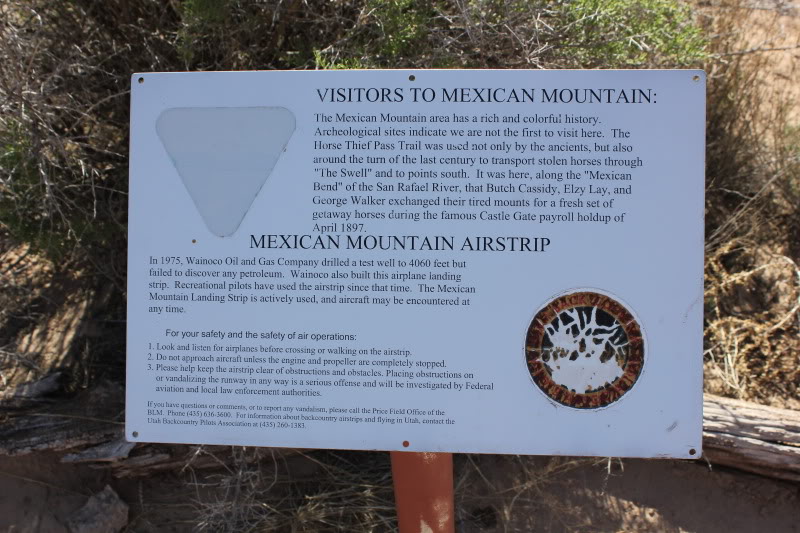
Description
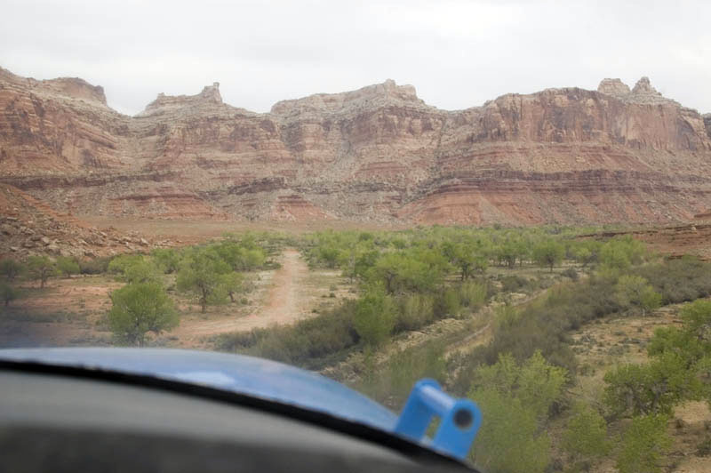
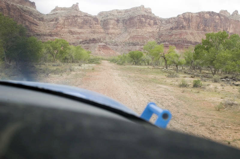
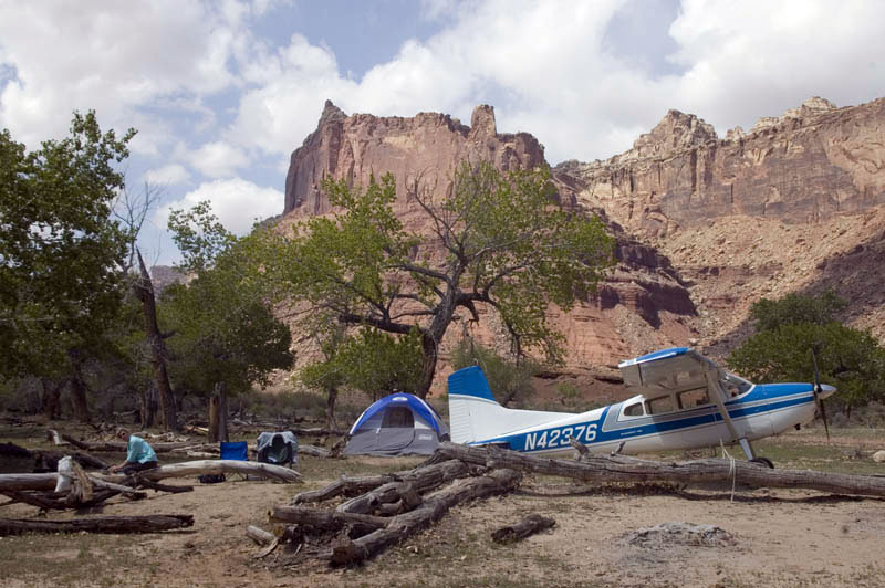
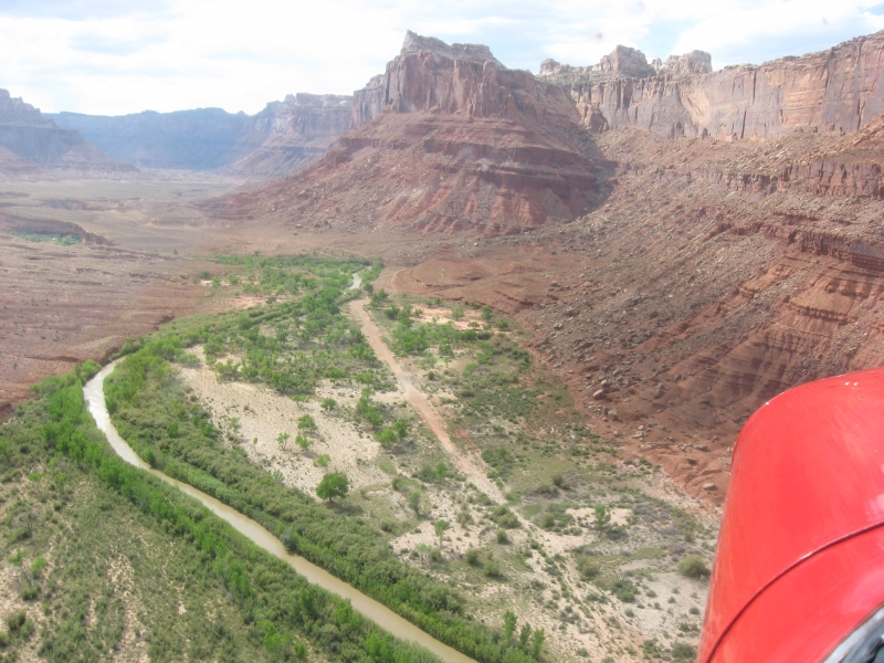
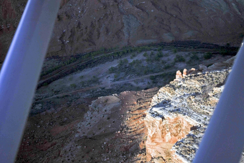
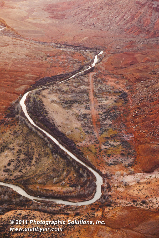
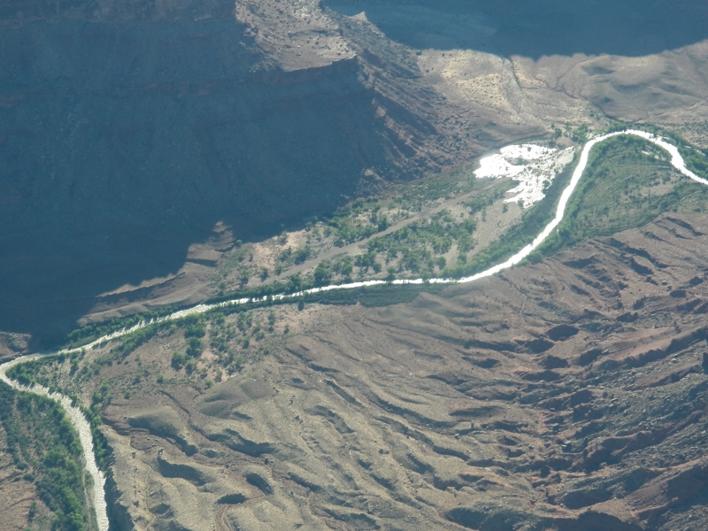
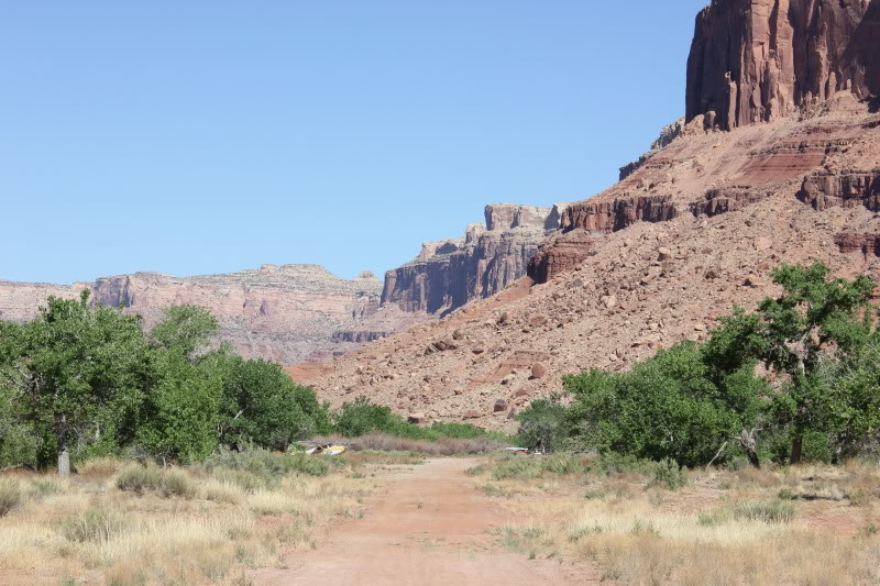
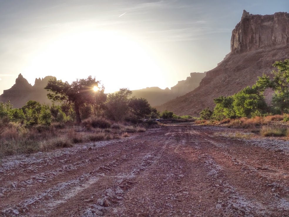
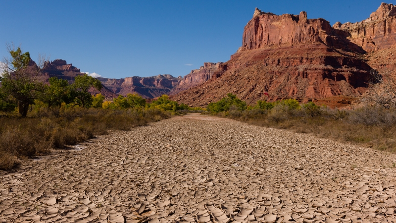
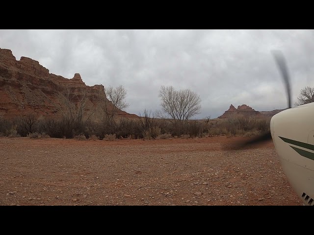
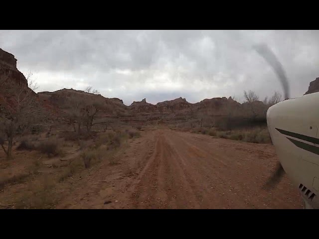
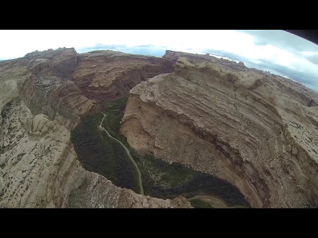
Mexican Mountain's runway runs west to east along the San Rafael River within the Mexican Mountain Wilderness Study Area. Given the sensitive nature of this location, pilots are asked to follow the UBCP's Code of Conduct to help maintain strong working relationships with the BLM. It's important to remember that this airstrip is situated within a Wilderness Area, meaning motorized or wheeled conveyances are prohibited on both the airstrip and in surrounding areas. Pilots should familiarize themselves with wilderness Leave No Trace practices specific to Mexican Mountain, and the use of WAG bags is strongly encouraged.
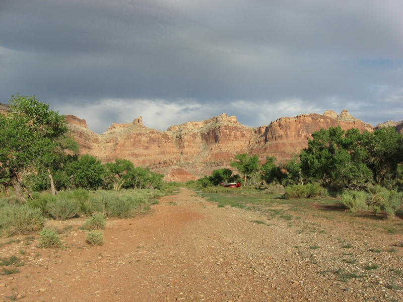
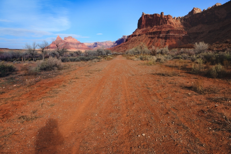
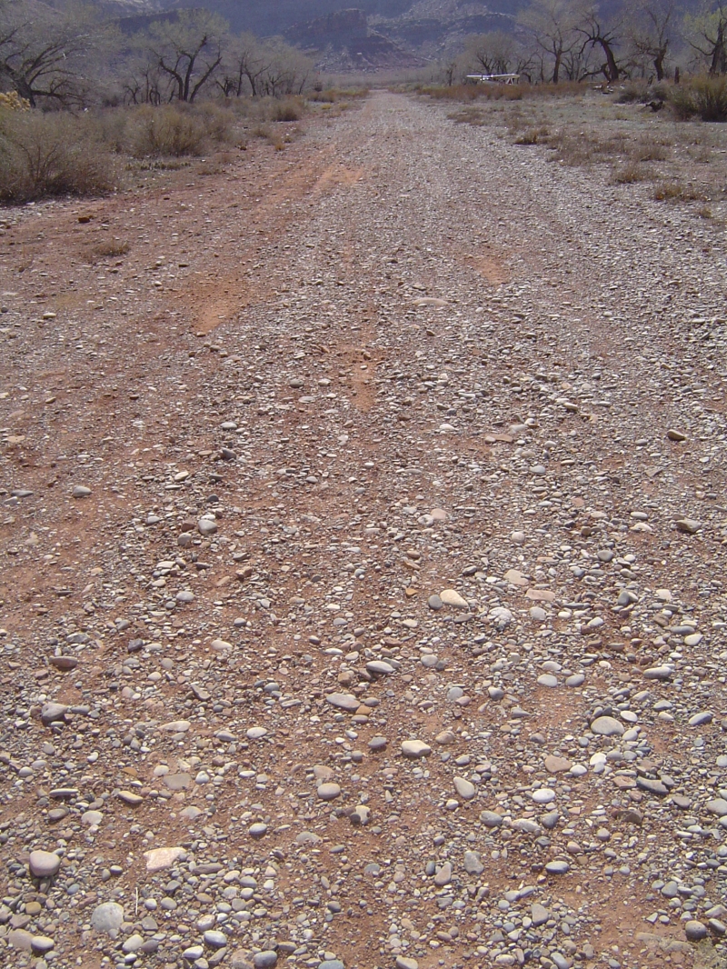
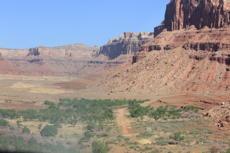
The runway measures 1900 feet long by 40 feet wide and is a dirt surface in great condition. It slopes slightly uphill toward the west. The first 500 feet from the eastern end tends to be softer than the rest of the runway and features a "dark spot" that appears wet year-round.
When approaching, pilots should be aware that tall trees exceeding 30 feet in height flank both sides of the runway, creating a hazard particularly when landing to the east (downhill). The typical pattern is to land to the west and depart to the east. Additional tall trees line the runway itself, concentrated mostly along the western half.
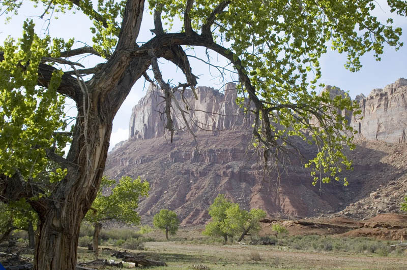
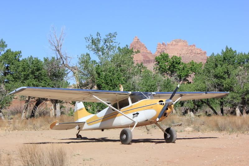
The airstrip offers campgrounds and fire rings for visitors, though pilots are requested to use already established camping, parking areas, and fire rings to minimize environmental impact. A windsock is available and is located east of the runway.
Runway
-
Length
1464
-
Width
40
-
Surface
DIRT
Details
-
Facility ID
No ID 008
-
Elevation
4461
-
CTAF
122.9
Gallery
Location
Lat: 39.019446 , Long: -110.451730 - UTAH, USA


Add a review