Description
Location Overview
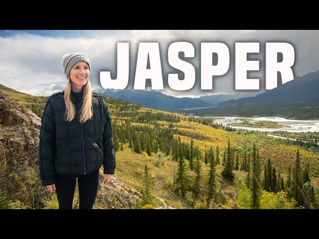
The Jasper Airstrip sits within Jasper National Park, situated along the east side of the Icefields Parkway (Highway 93), which parallels the east side of the Continental Divide. It lies approximately 7 miles (11.6 km) from the town of Jasper and sits at an elevation of 3,350 feet MSL. Pilots flying the route are treated to outstanding views of giant icefields, multi-hued turquoise glacial lakes, and rivers — scenery that National Geographic has called one of the ten greatest drives in the world.
Camping & Recreation
Just east of the airstrip, along the river, there are a washroom, picnic table, firewood, and BBQ pits available for day use only — there is no camping at the airstrip itself. The town of Jasper, a short taxi ride away, offers full amenities, hiking, wildlife viewing, and access to world-class mountain recreation throughout the national park. The Fairmont Jasper Park Lodge offers complimentary pickup for guests, and taxis from the strip to town run about $35.
Notes & Warnings
The airstrip has a turf runway measuring 3,990 x 150 feet, oriented 13/31. A landing permit is required — pilots must register at the self-serve kiosk on site and pay daily landing fees. Commercial aircraft are restricted, though emergency and diversion landings are always permitted. The airstrip is restricted to aircraft weighing 12,500 lbs or less, and elk may be present on the runway. No fuel is available on site; the nearest fuel is a 15-minute flight to the turf Hinton/Entrance Airport (CEE4). Jasper National Park does not provide winter maintenance of the airstrip, and snow may be removed only as needed for emergency purposes. Pilots seeking local flying advice should contact the Jasper Flying Club at 780-852-8593, staffed by volunteer pilots with local knowledge.
History
The airstrip's origins trace back to the Second World War, when it was constructed as part of the Northwest Staging Route — a chain of airfields used to ferry aircraft and supplies to Alaska. For many decades after the war, it was designated emergency use only. It wasn't until February 13, 2013, that the National Parks Aircraft Access Regulations took effect, reopening the Jasper airstrip to non-commercial recreational aircraft under a permit system — a change made possible through lengthy advocacy by the Canadian Owners and Pilots Association (COPA). Today the strip serves private aviation, scenic tourist flights over the Rockies, air ambulance operations, and aerial firefighting efforts, all while operating harmoniously within the fragile ecosystem of this UNESCO World Heritage Site.
Runway
-
Length
3990
-
Width
150
-
Surface
TURF
Details
-
Facility ID
CYJA
-
Elevation
3350
-
CTAF
122.9
Location
Lat: 52.99802715471 , Long: -118.06094339753 - , USA


Add a review