Description
Location Overview
Sherman Meadows sits southwest of Grande Prairie and northwest of Grande Cache, in the foothills of west-central Alberta near Torrens Creek. The surrounding terrain is classic northern Alberta foothills — open meadow hemmed in by rolling forested hills, with the Canadian Rockies rising to the southwest.
Camping & Recreation
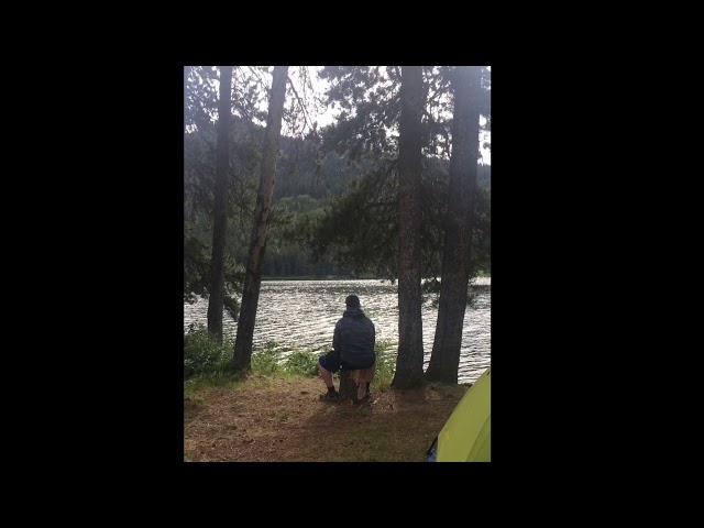
The strip has a reputation for nice camping on-site, making it a worthwhile fly-in destination for an overnight or weekend trip. The natural meadow setting along Torrens Creek provides a scenic and peaceful base. The broader area offers access to wilderness hiking, wildlife watching, and the rugged foothills landscape characteristic of the Grande Cache region.
Notes & Warnings
Sherman Meadows is officially listed as a closed airport, so pilots should treat it as an uncontrolled, unmaintained backcountry strip and conduct a thorough aerial survey before committing to land. The terrain rises to the south, so the preferred technique is to land toward the south and take off toward the north. Torrens Creek to the north can serve as a useful navigation reference. One set of ruts runs down the center of the strip, though there is plenty of room to land on either side. Grass tends to grow long in the center. No services, fuel, or infrastructure are available. Conditions change seasonally and no authority maintains the strip, so current surface condition should always be confirmed before arrival.
History
Sherman Meadows was likely established during the mid-20th century era of resource exploration and forestry activity common across the Alberta foothills, when remote grass strips were cut to support oil and gas surveys, timber operations, or government use. Though it carries an "abandoned" designation in official databases, pilots who have driven or flown in report that it has remained in good shape over the years, suggesting some level of informal upkeep or simply favorable natural conditions. It has become a quiet fixture among Alberta backcountry pilots as a reliable and scenic destination in the foothills west of Grande Prairie.
Details
-
Facility ID
CFK7
-
CTAF
122.9
Location
Lat: 54.287842, Long: -119.842957 - Alberta, Canada


Add a review