316 Flying a Cirrus SF50 Vision Jet with Max on a long Cross country trip + GA News 316 Flying a...
Host Max Trescott recounts his recent trip in the Vision Jet, a G1 version, with a Patreon supporter who is working towards his type rating. He also talks about the VNAV Direct vertical navigation feature that he rarely uses, but found helpful during the trip.
The journey involved flying from Oakland, California to Ann Arbor, Michigan and back, with several considerations such as runway lengths, weather patterns, and fuel efficiency. The decision to fly into Ypsilanti Airport instead of Ann Arbor Municipal Airport is made due to runway length and width concerns, as well as the desire for safer and more comfortable landing conditions.
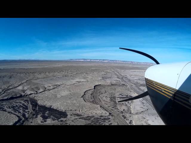
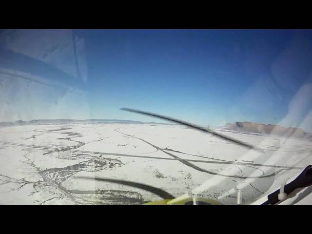
The route planning involves optimizing for tailwinds and minimizing refueling stops. By analyzing weather patterns and selecting appropriate altitudes, they manage to reduce the trip to just two refueling stops instead of three, despite the longer route. They depart Oakland and encounter some weather challenges, including icing, which they manage safely. Utilizing various tools such as SiriusXM weather and Garmin G3000, they navigate through different altitudes and terrain, making adjustments to their flight plan as needed.
During the trip, they make stops at various airports, encountering different experiences such as efficient refueling processes at Mitchell, South Dakota, and challenges in verifying fuel availability at other airports. They also navigate through unforeseen weather changes, ensuring safety and efficiency throughout the trip.
The return trip involves rerouting due to weather forecasts, aiming to avoid strong headwinds. Max reflects on minor errors made during the journey, emphasizing the importance of staying alert and making quick adjustments when needed. Overall, the episode highlights the intricacies and considerations involved in planning and executing a long-distance flight in a Vision Jet, emphasizing safety, efficiency, and adaptability throughout the journey. Anyone interested in buying a Vision Jet or getting trained in one should contact Max directly.
If you're getting value from this show, please support the show via PayPal, Venmo, the Cash app, Zelle or Patreon.
Support the Show by buying a Lightspeed ANR Headsets Max has been using only Lightspeed headsets for nearly 25 years! I love their tradeup program that let's you trade in an older Lightspeed headset for a newer model. Start with one of the links below, and Lightspeed will pay a referral fee to support Aviation News Talk. Lightspeed Delta Zulu Headset $1199 Lightspeed Zulu 3 Headset $899Lightspeed Sierra Headset $699 My Review on the Lightspeed Delta Zulu
Send us your feedback or comments via email
If you have a question you’d like answered on the show, let listeners hear you ask the question, by recording your listener question using your phone.
News Stories
Water, debris found in fuel after deadly Grumman GA-7 crash Skyryse unveils simplified cockpit design for modified R66 helicopter Checklist error caused October Cessna crash, says ATSB Colorado lead studies failed to detect measurable aviation pollution Neighbors Cite Lead In Bid To Close Boulder Airport Group Says California FBOs Will Be Able To Continue Selling 100LL Garmin autopilot OK’d for Bonanzas Canada TSB Issues Safety Advice after Helicopter Crash Investigation NBAA Launches Customs Tool For GA Airports California Airshow Includes Beach Runway
Mentioned on the Show Eclipse jet lands with towbar attached FAA Rotorcraft Collective YouTube Video Series
Free Index to the first 282 episodes of Aviation New Talk
So You Want To Learn to Fly or Buy a Cirrus seminars Online Version of the Seminar Coming Soon – Register for Notification
Check out our recommended ADS-B receivers, and order one for yourself. Yes, we’ll make a couple of dollars if you do.
Get the Free Aviation News Talk app for iOS or Android.
Check out Max’s Online Courses: G1000 VFR, G1000 IFR, and Flying WAAS & GPS Approaches. Find them all at: https://www.pilotlearning.com/
Social Media Like Aviation News Talk podcast on Facebook Follow Max on Instagram Follow Max on Twitter Listen to all Aviation News Talk podcasts on YouTube or YouTube Premium
"Go Around" song used by permission of Ken Dravis; you can buy his music at kendravis.com If you purchase a product through a link on our site, we may receive compensation.


Add a review