Description
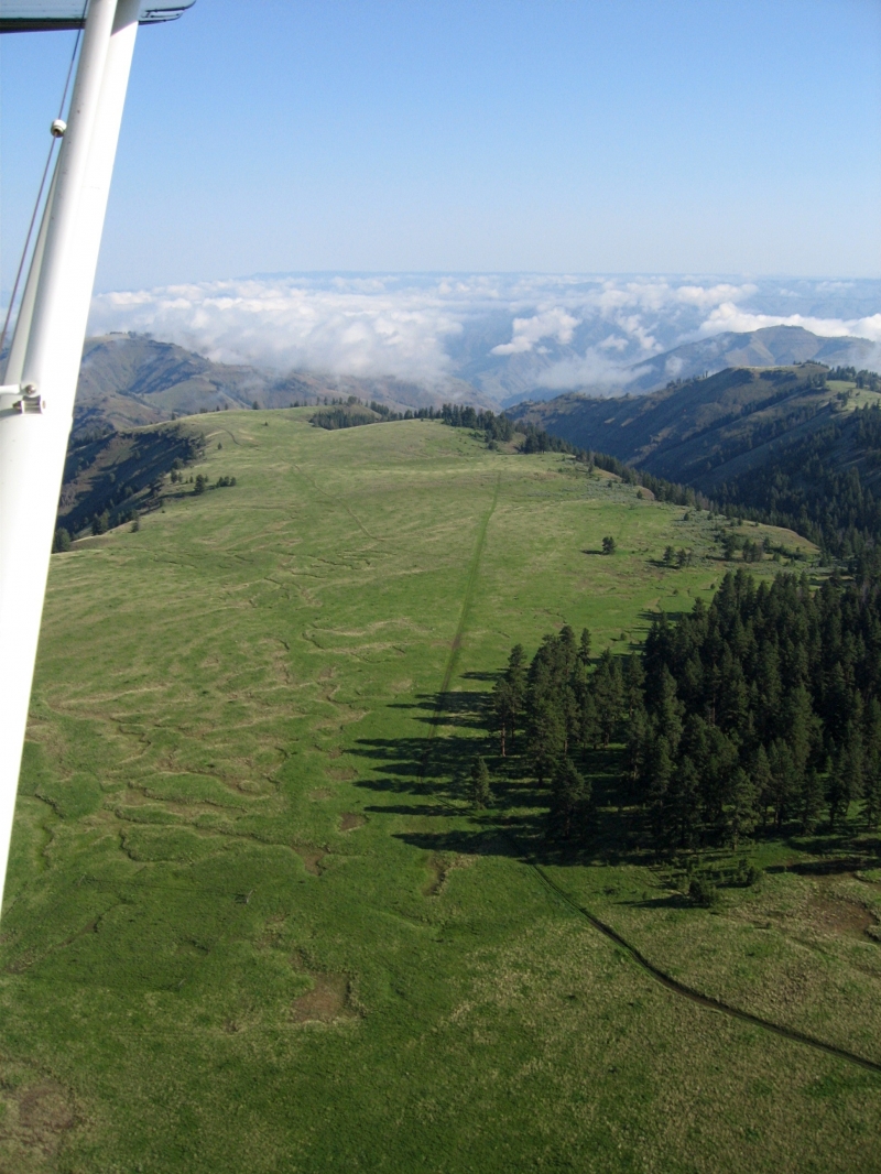
The Lord Flat Airstrip sits on the Oregon side of Hells Canyon, perched along Summit Ridge within the Hells Canyon National Recreation Area. It was built in 1943 by Tom Willett and Joe Connor of Wallowa County under a Forest Service contract, as the agency needed quicker access to this exceptionally remote area. The location itself — formerly known as Buckaroo Flat — takes its name from hunter and stockman James Lord.
The strip is unimproved and covered in grass, and it serves primarily as a drop-off point for hunting guides and their clients. Like the nearby Memaloose airstrip, it sits near the canyon rim and can remain snow-covered well into June, which limits its usable season. A grove of ponderosa pines shades the south end of the runway, making it a popular spot to set up camp, and a piped spring lies just northeast of the strip's north end.
The setting is stunning — Lord Flat offers sweeping views across the canyon to the Wallowa Mountains and Idaho's Seven Devils Mountains. For overland travelers, it also marks the literal end of the road, with no motorized access beyond that point. It's a fitting terminus: remote, scenic, and quiet except for the occasional small plane dropping in during hunting season.
There are no improved camp sites or amenities, so camp where you want. The USFS facility, Dorrance Cow Camp is located about two miles south of the airstrip is reported to have a piped water spring, outdoor stove, and fire pit available on site. The camp is typically booked by a commercial outfitter during the summer and fall seasons.
Runway
-
Length
2100
-
Width
75
-
Surface
GRVL
Details
-
Facility ID
No ID 012
-
Elevation
5601
-
CTAF
122.9
-
State
Oregon
Gallery
Location
Lat: 45.66900000000 , Long: -116.61900000000 - OREGON, USA

Add a review