Description
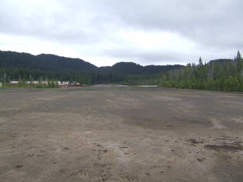
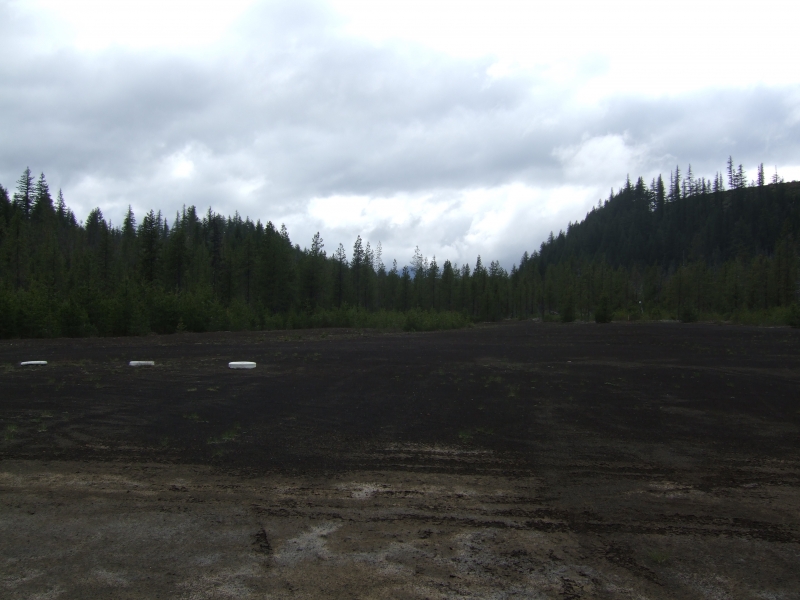
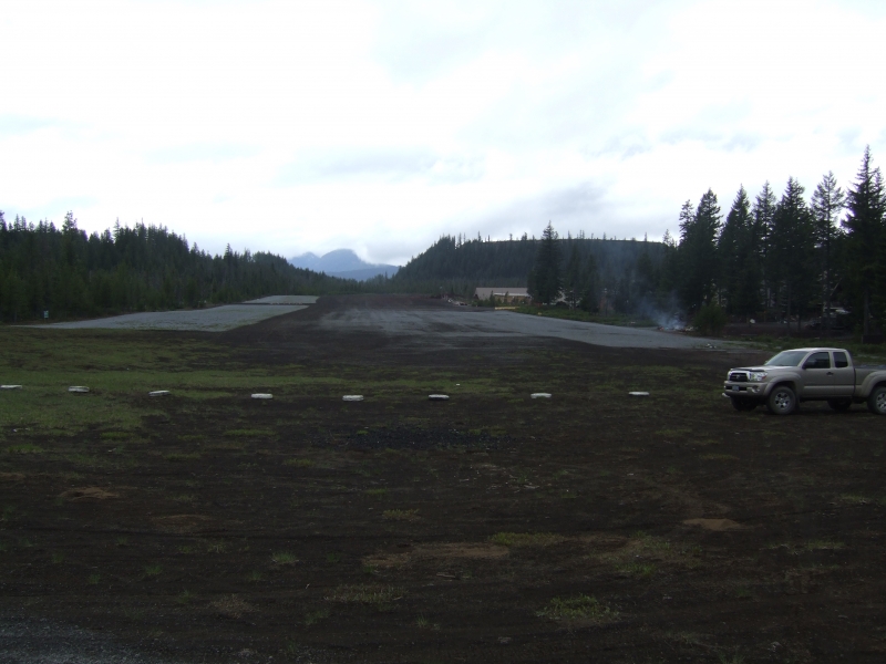
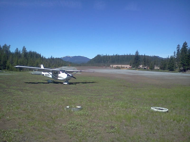
Santiam Junction State Airport is a seldom used emergency/recreational airport, located just west of Santiam Pass near the junction of Highways 22 and 20 adjacent to a highway maintenance station. The cinder runway is normally firm and smooth. Fly-in camping is permitted on the south side of the runway. No services or facilities are available. The strip receives no winter maintenance and the first snowfall closes it until spring. (Nov. 1 - May 1)
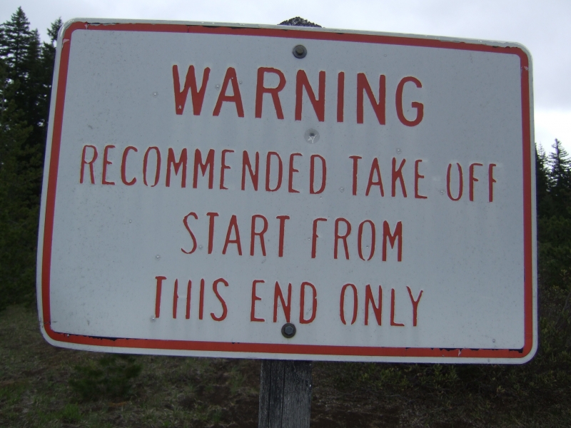
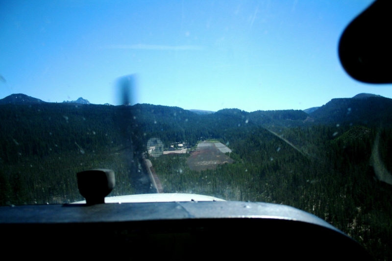
The runway is a 2800' X 150' strip. That is nearly 500' short of the standard for its 3780' elevation. The runway is surrounded by high terrain and trees; consequently, turbulence should be expected when the winds are strong. The runway slopes up to the east at about 1.5%. High terrain and +200' trees on the east end prevent takeoffs to the east and landings to the west. The approach from the west is between two cinder cones, but the obstructions on centerline are minimal.
This airport is also sometimes used as a fire base in the summer, so there may be several helicopters operating from the strip.
(This description was copied off the Oregon Department of Aviation site)
Runway
-
Length
2800
-
Width
150
-
Surface
GRVL-G
Details
-
Facility ID
8S3
-
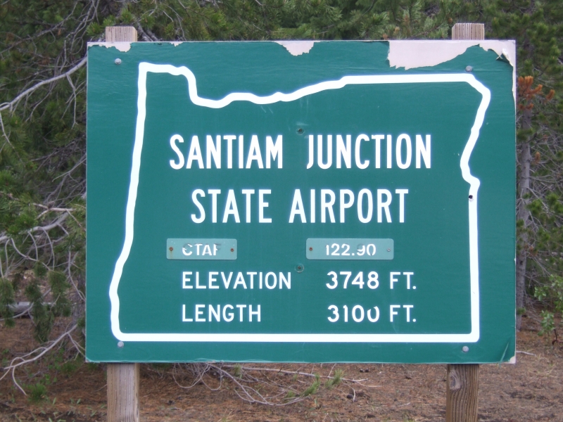
Elevation
3780
-
CTAF
122.9
-
State
OR
Gallery
Location
Lat: 44.43455555556 , Long: -121.94227777778 - OREGON, USA


Add a review