Description
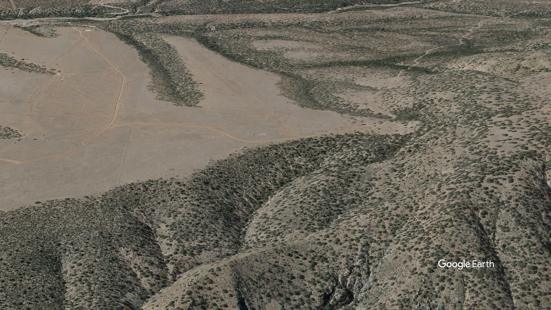
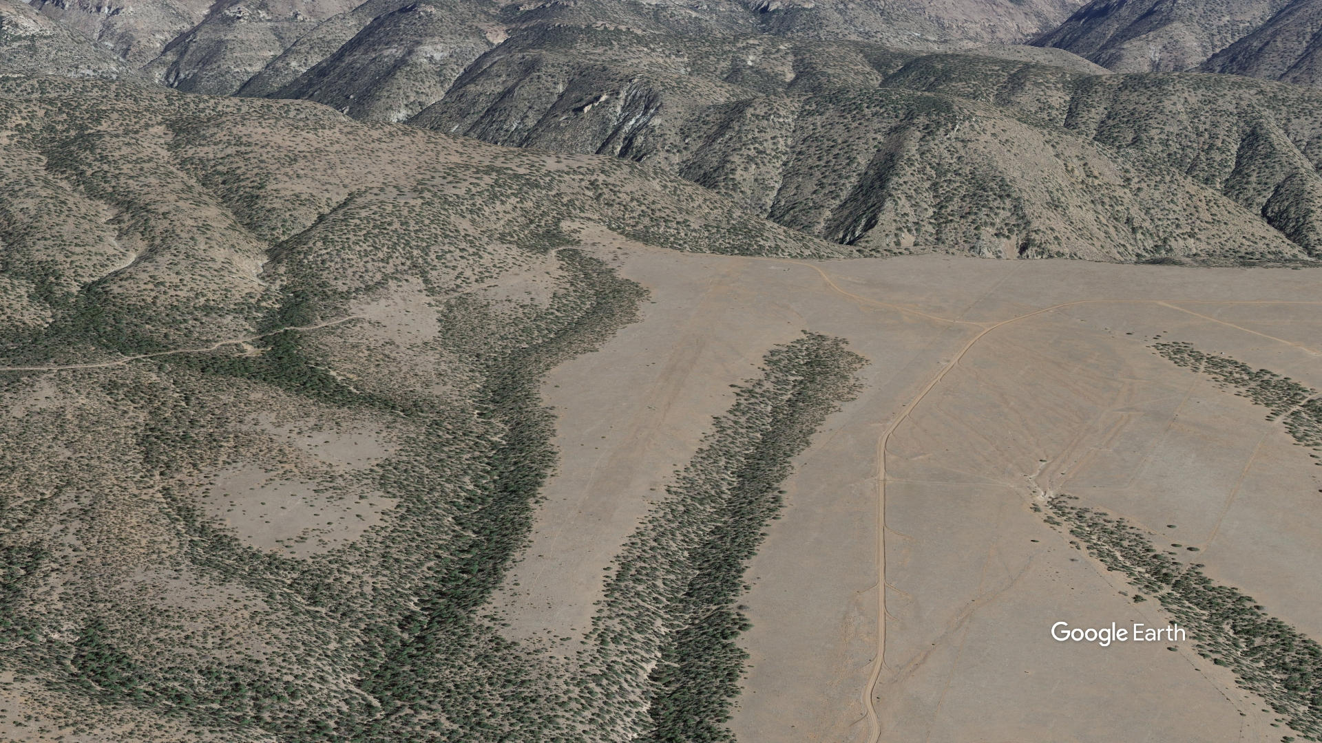
Sacaton Airstrip is a backcountry airfield situated near Buckhorn, New Mexico, perched on a "finger mesa" alongside the Gila Wilderness — the first federally designated wilderness area in the United States.
The airstrip had sat abandoned for more than four decades due to shifts in land management priorities and agency funding, but officially reopened in January 2023 thanks to a partnership between the Gila National Forest and the Recreational Aviation Foundation (RAF). Volunteers from the RAF and the New Mexico Pilots Association did the hands-on work of clearing overgrowth, repositioning rocks, and making the strip operational again after it had been unusable for decades.
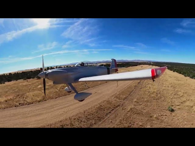
From a pilot's perspective, the strip presents some notable characteristics and challenges. The dirt runway stretches roughly 3,989 feet at an elevation of 6,200 feet, so density altitude is a real concern — even in cooler temperatures. There's also a 4.6% upslope toward the east, which means landing on Runway 08 with right traffic is preferred. The runway is essentially a one-way-in, one-way-out operation to avoid encroaching on the Wilderness boundary, and the strip can be rendered unusable by snow or heavy rain. Pilots must call the USFS Gila Dispatch center for permission before landing, and the nearest fuel is about 41 nautical miles away at Grant County Airport.
For outdoor enthusiasts, the location is a real draw. The airstrip sits directly adjacent to the Rain Creek Trail No. 189 trailhead, less than a quarter mile from the runway, and a vault toilet is available on-site. The trail leads into steep canyon terrain framed by willows, alders, hoodoos, and eagle nesting sites. The area is also home to the rare, copper-colored Gila trout — once a threatened species — making it a destination for anglers as well as hikers.
Overall, Sacaton is a rewarding but demanding backcountry destination that took considerable community effort to bring back to life, and serves as a gateway to one of the most remote and scenic corners of New Mexico.
Details
-
Elevation
6028
-
CTAF
122.9
-
State
New Mexico
Gallery
Location
Lat: 33.1825278, Long: -108.6832028 - New Mexico, USA


Add a review