Alert
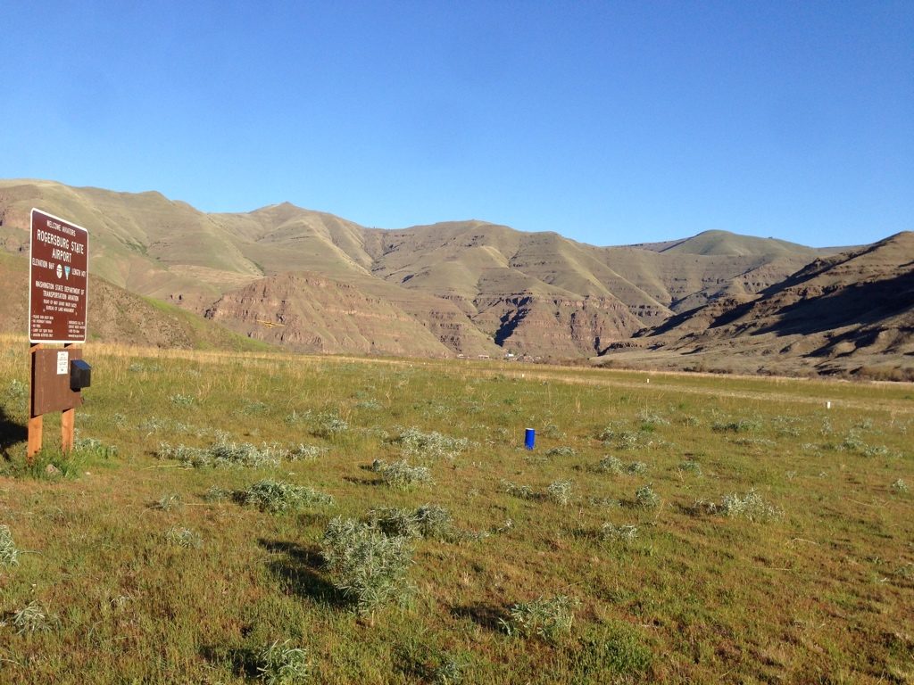
The latest WSDOT information, Rogersburg State Airport is closed until further notice. Contact WSDOT Aviation at john.wilson2@wsdot.wa.gov or 360-618-2477 before planning any flight there.
The latest WSDOT information, Rogersburg State Airport is closed until further notice. Contact WSDOT Aviation at john.wilson2@wsdot.wa.gov or 360-618-2477 before planning any flight there.
Location Overview
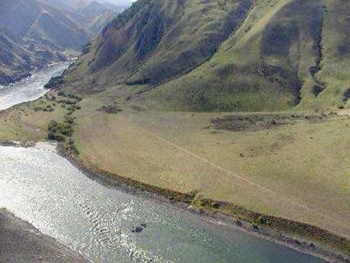
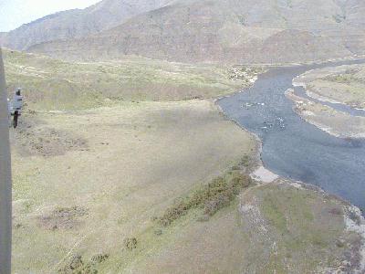
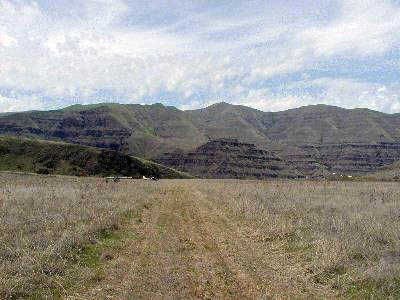
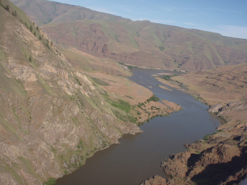
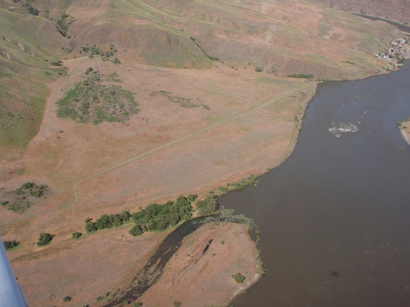
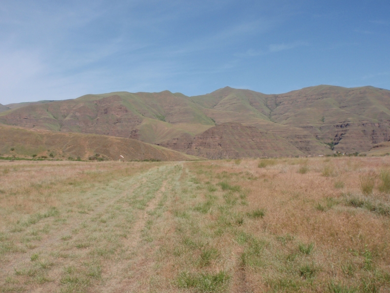
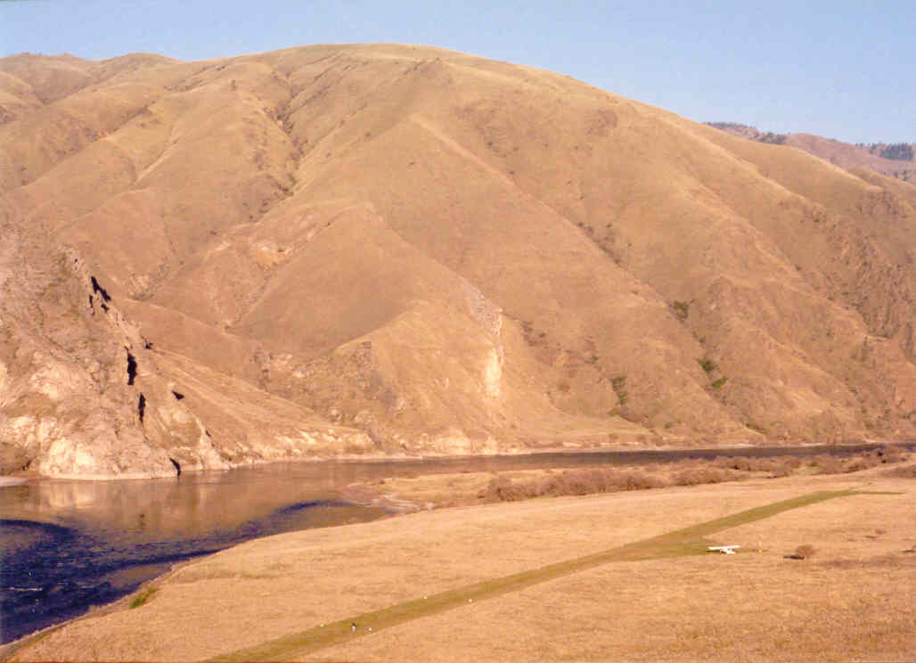
Located in southeast Washington, Rogersburg sits at 850 feet MSL in a dramatic canyon setting at the confluence of the Grande Ronde and Snake Rivers in Asotin County, near the Idaho state line. The surrounding landscape is wild and remote, flanked by rocky bluffs and canyon walls characteristic of the Hells Canyon region. The nearest town of note is Anatone.
Camping & Recreation
No camping or fires are currently allowed at the airstrip. That said, it's described as a fine place to stop, stretch your legs, enjoy a riverside picnic, and take in the scenery. The broader area offers excellent opportunities for fishing, wildlife viewing, and river recreation along the Grande Ronde — a designated National Wild and Scenic River corridor.
Notes & Warnings
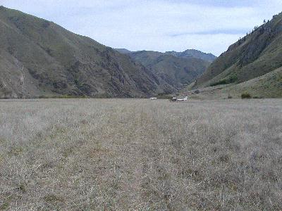
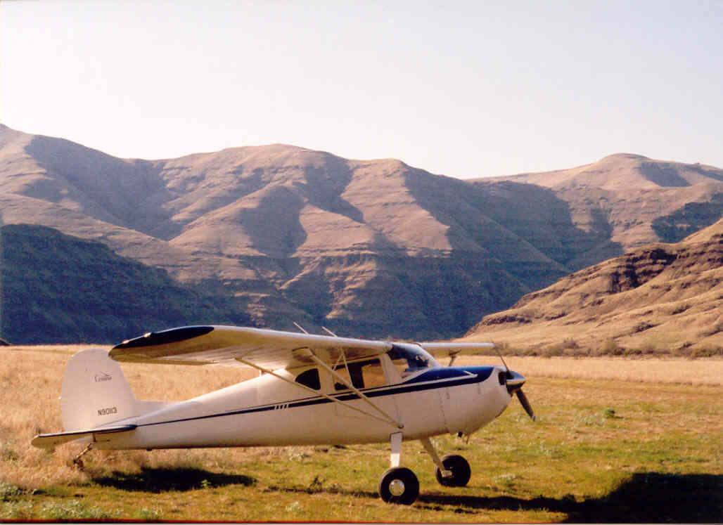
The strip is approximately 1,500 feet long on a turf surface and is currently closed — contact WSDOT before landing. Density altitude can be a serious factor on hot days, and pilots should beware of winds channeling out of Hells Canyon and the Grand Ronde, which can produce a simultaneous mix of head, tail, and crosswind. Traffic patterns must be flown to the north over the river due to Lime Hill, making turns tight when landing downriver. As with most mountain strips, the standard practice is to land upriver and depart downriver. No more than five aircraft are permitted at a time, and the airstrip is closed each year from November 15 through March 1 to protect eagle roosting habitat, per an agreement with the Bureau of Land Management.
History
The Rogersburg area was born of mining booms, with the lower Grande Ronde region experiencing several gold rush stampedes. By 1865, the Rogers brothers had established the community of Rogersburg at the confluence of the Grande Ronde and Snake Rivers, laying out a townsite with plans to sell lots — though the town never grew significantly due to a lack of road access. The area's history also reaches back further, as Captain Benjamin Bonneville and his men camped at the junction of the Snake and Grande Ronde Rivers, and his notes inspired Washington Irving's descriptions of the surrounding country. A post office operated in Rogersburg from 1912 until 1939, and the community was named after G. A. Rogers, a local landowner. The airstrip itself was eventually closed and later reopened through a cooperative agreement between WSDOT and the BLM, with the eagle-roosting seasonal closure as a condition of that arrangement.
1471
50
TURF-E
D69
869
122.9

Lat: 46.07444444444 , Long: -116.96611111111 - WASHINGTON, USA
Add a review