Description
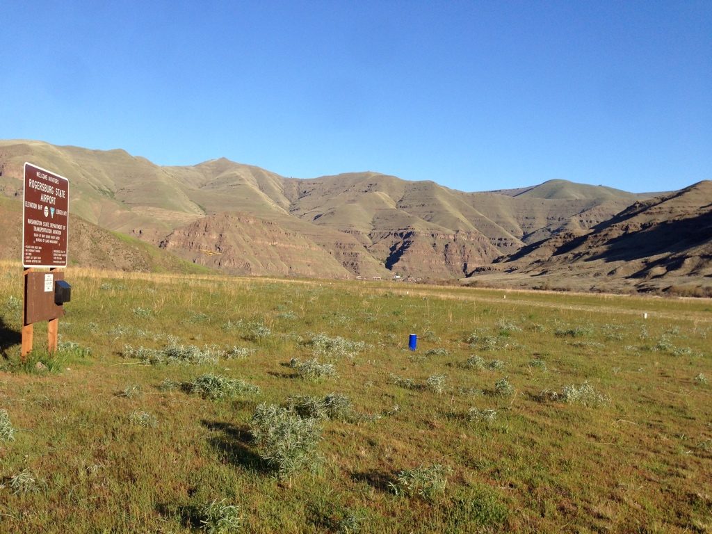
Rogersburg is closed. Do not land without permission from the managing agencies.
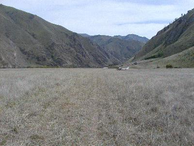
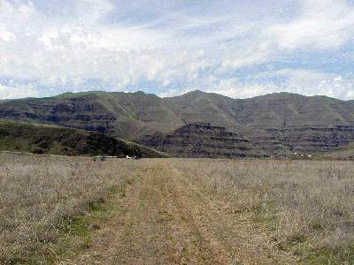
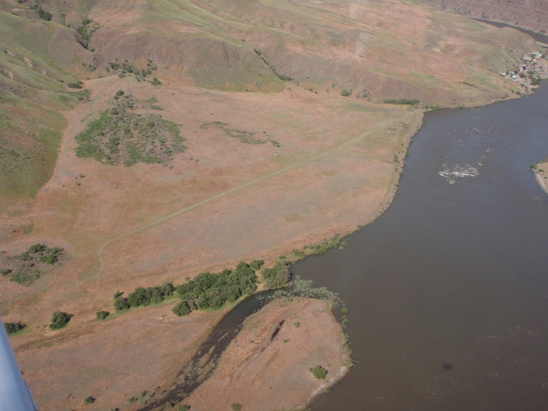
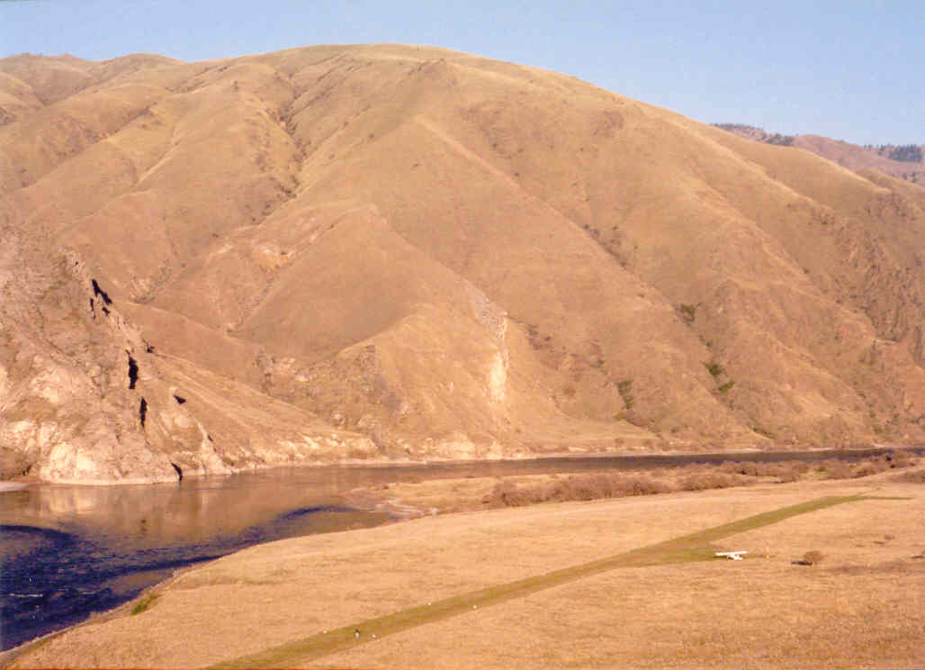
This is a WSDOT strip. It is well maintained with runway reflectors surrounding the landing area and a pull off area mid way. Please stop in and sign the register so the DOT knows this strip gets used. There are houses on the north end that you should avoid overflying on departure. No camping or fires allowed at present. Just a nice place to stop and have a picnic or check out the river.
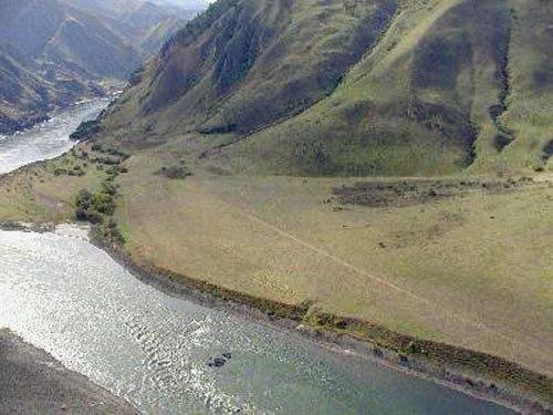
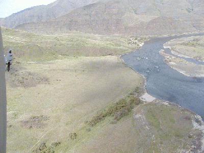
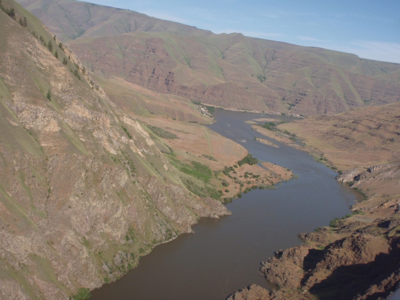
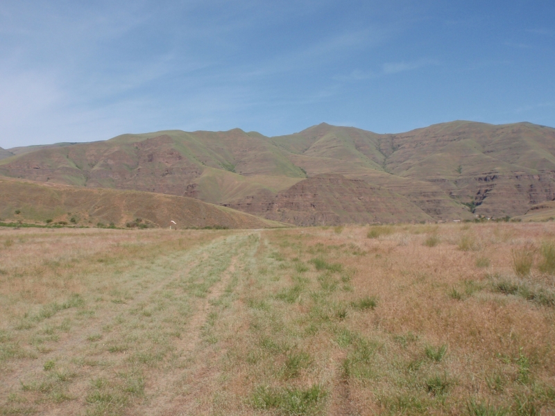
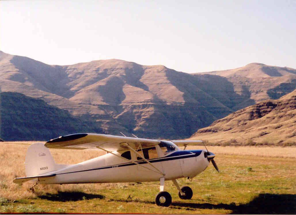
The strip is in fine condition with relatively easy approaches, but it is a short mountain airstrip. (1500' long, 850'MSL). It gets hot sometimes, so check density altitude. Beware of winds coming out of Hells Canyon and the Grand Ronde, which could give the worst combination of head, tail, and crosswind, all at the same time. In other words, be qualified, current and careful! Coordinates, if you need them are N46d04.46m/W116d57.97m.
Traffic patterns must be to the north (over the river) because of Lime Hill, and it will be a bit close when turning if winds require downriver landing. (As usual with mountain airstrips, generally land upriver and depart downriver).
Please stay within the 1500' length as marked by the edge and end reflectors. This generally marks the right of way. Tiedowns and turnaround should be in the 50 x 50 area south of the strip at each end, again just inside the end markers. This generally describes the 1500 x 100 right of way. There is a safety over-run at each end, but the BLM would prefer that not be used unless necessary. Please try not to use the natural turnaround which is just SE of the SE-most end reflectors, as this is also outside of the right-of-way.
Landing long in the upriver direction (per usual mountain practice) is advisable, as the last 1350 feet are straight and offer a gentle, straight-in approach.
Enjoy! Be safe! Call Jim Scott 1-800-552-0666 or Tom Jensen at 1-800-WPA-FLYS if you have questions or suggestions for maintenance or safety improvements. If you take pictures, please share them with Tom Jensen at the email link below.
Be advised that ALL maintenance activity has to be done with the approval of WSDOT-Aviation. Only four airplanes are allowed at a time, due to limited parking in the permit area. No open fires are allowed, and no overnight camping is currently allowed. (Jim Scott is working with the BLM to lift that restriction.)
For more information: WSDOT Website
Runway
-
Length
1471
-
Width
50
-
Surface
TURF-E
Details
-
Facility ID
D69
-
Elevation
869
-
CTAF
122.9
Gallery

Location
Lat: 46.07444444444 , Long: -116.96611111111 - WASHINGTON, USA

Add a review