15409 SE PAIUTE ST, PRINEVILLE, OR - HOME FOR SALE BY OWNER
NO ASSISTANCE NEEDED FROM REALTORS -- NO AGENT CALLS PLEASE
ALTHOUGH NOT ZONED AS DUPLEX, PRACTICALLY TWO HOMES FOR PRICE OF ONE !!
(PERFECT FOR IN-LAWS, ADULT CHILDREN, GRANNY FLAT, OR INVESTMENT PROPERTY)
GREAT OPPORTUNITY FOR FRIENDS OR FAMILY TO BUY A HOME TOGETHER AND SAVE MONEY VS RENTING!!
PERFECT OPPORTUNITY AND LOCATION TO ENJOY CENTRAL OREGON. PRINEVILLE IS QUAINT AND FRIENDLY YET HAS ALL AMENITIES OF A LARGER TOWN, INCLUDING NEW HOSPITAL AND CLINIC. POPULATION APPROX 10,000 + WITH PERFECT MODERATE HIGH DESERT CLIMATE (INSOMUCH THAT FACEBOOK AND APPLE ARE BUILDING THEIR DATA CENTERS IN PRINEVILLE.
TWO 18-HOLE GOLF COURSES AND RESTAURANTS, 2 SCREEN MOVIE THEATER, BOWLING, COMMUNITY POOL, 3 FINE DINING STEAKHOUSES, MANY CAFE'S AND COFFEEHOUSES, BREWERY, LOTS OF SHOPS, NEWER LIBRARY, HISTORIC COURTHOUSE & MUSEUM, BEAUTIFUL PARKS AND WALKING TRAILS, A SCENIC DRIVE TO BEND, REDMOND, SMITH ROCK, PAINTED DESERT, HUNTING, FISHING, ROCK CLIMBING. . .ENDLESS OUTDOOR FUN AWAITS.
OWNER IS BUILDER & SELLER, AND SPARED NO EXPENSE IN EVERY DETAIL!!
UNIQUE HOME BUILT 2004 AND PROPERTY CONVENIENTLY LOCATED JUST 12 MILES SOUTH OF DOWNTOWN PRINEVILLE IN THE BEAUTIFUL SUBDIVISION "PRINEVILLE LAKE ACRES II" ON PAVED ROADS (AVERAGE LOT SIZES ARE 2+/- ACRES)
HOME SITS ON 1.8 ACRES, WITH OPTION TO BUY TWO ADJACENT 2 ACRE LOTS. ONE IS DIRECTLY WEST, AND THE OTHER IS NORTH
NO HOA FEES EXCEPT ROAD MAINTENANCE AND EXPANSION CURRENTLY $100 ANNUALLY
PRINEVILLE RESERVOIR COUNTY LAUNCH RAMP APPROX 7 MILES
REDMOND MUNICIPAL AIRPORT "ROBERTS FIELD" APPROX 30 MILES (ALASKA AIR, AMERICAN, DELTA, AND UNITED AIRLINES)
PRIVATE PLANE AIRSTRIP WITH HANGARS
BEND APPROX 50 MILES
JUST BLOCKS FROM OPEN BLM LAND FOR EXPLORING ON YOUR ATV
FIRST LEVEL, 1 BR, 1.5BA, OPEN FLOOR PLAN WITH LIVING ROOM, DINING, AND KITCHEN, ALCOVE SERVES AS OFFICE OR DEN. SMALL ENCLOSED HALLWAY WITH 1/2 BATH AND LAUNDRY AREA. 10' CEILINGS, HAND TROWELED WALLS & CEILING
ONE STEP DOWN INTO LARGE BEDROOM WITH FRENCH DOORS, PROPANE FREE STANDING FIREPLACE, CEILING FAN, WALK-IN CLOSET, AND FULL BATHROOM (SEPARATE WALK-IN TILE SHOWER & 6' KOHLER JETTED SOAKING TUB) DOOR TO SIDE YARD AND 4-PERSON HOT TUB.
TOTAL EST SF:1400
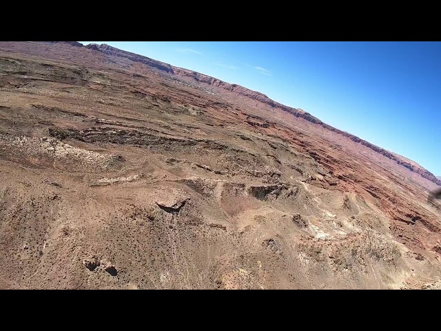
SECOND LEVEL HAS ITS OWN ENTRANCE, ALTHOUGH ALSO ACCESSIBLE FROM FIRST FLOOR. ALSO OPEN FLOOR PLAN CARPETED WITH LIVING ROOM, DINING, KITCHEN, FULL BATH, ONE BEDROOM, SMALL LOFT, FREE STANDING GAS FIREPLACE, AND HUGE DECK 16'X32' WITH MILLION DOLLAR PANORAMIC VIEWS OF PROPERTY AND THE CASCADE MOUNTAINS. VAULTED CEILINGS
TOTAL SF 850
$299,000 -- BELOW MARKET VALUE FOR QUICK SALE
AGAIN NO REALTOR CALLS PLEASE, THIS IS A SALE BY OWNER
VIDEO: https://youtu.be/sGsbcPDve-c
**I WILL RESPOND TO ANYONE EXPRESSING INTEREST IN THE COMMENTS SECTION. ALSO LISTED ON CRAIGSLIST, BEND, OREGON UNDER HOMES FOR SALE.


Add a review