Description
Location Overview
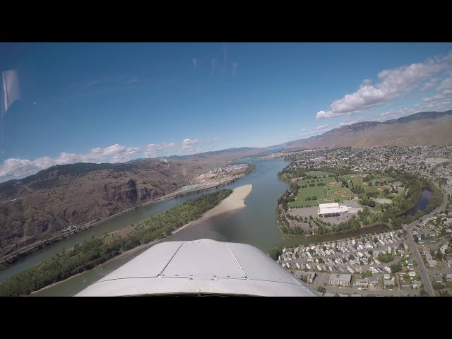
Moose Valley Airport sits at approximately 56°44'N, 126°39'W in the remote northern interior of British Columbia, roughly within the broader Omineca region. The nearest identifiable community is McConnell Creek, about 10 nautical miles to the north. The surrounding landscape is characterized by boreal forest, river drainages, wetland flats, and the rugged terrain typical of the Omineca and Skeena mountain country. The closest airports of any size are Smithers (CYYD) roughly 115 nm to the south and Fort Nelson (CYYE) about 180 nm to the northeast, underscoring just how isolated this location truly is. No road access served the area, making the airstrip the primary means of access to the surrounding wilderness.
Camping & Recreation
The region surrounding Moose Valley is classic northern BC wilderness — dense coniferous forest, river corridors, and wetland habitat ideal for moose, grizzly bear, black bear, Stone's sheep, mountain goat, and a variety of waterfowl. The Omineca region as a whole has long been regarded as some of the finest moose habitat in North America. While no documented formal camping facilities are on record for the airstrip itself, backcountry-style wilderness camping would have been the norm for fly-in visitors. Hunting and fishing would have been the primary draws for those making the trip in, consistent with the outfitting culture prevalent throughout northern BC's fly-in airstrip network.
Notes & Warnings
Moose Valley Airport is listed as closed in aviation databases and carries no Transport Canada or Nav Canada registration. No fuel was ever reported on site. The airstrip's elevation is not formally recorded in available databases. Pilots who may be aware of the strip's former existence should treat it as decommissioned — the surface condition, obstacle environment, and runway state are unknown and potentially hazardous. The surrounding terrain and notorious northern BC weather patterns (rapidly developing mountain obscuration, low ceilings, icing conditions in shoulder seasons) would demand high situational awareness from any pilot operating in the area. The nearest instrument approaches and services are well over 100 nm away in any direction.
History
Moose Valley Airport was one of many small private or outfitter-associated airstrips that were carved out of the BC wilderness during the mid-to-late 20th century to support the province's thriving guide-outfitting and bush flying culture. Northern BC's remote river valleys and mountain terrain were routinely accessed by float-equipped and wheel aircraft operating out of small backcountry strips like this one, connecting hunting camps, traplines, mineral exploration crews, and wilderness lodges to the outside world. The strip near McConnell Creek in the Omineca drainage would have served a similar purpose — providing seasonal access to a landscape otherwise entirely roadless. Like many of its counterparts across the BC interior, it eventually fell out of use as the operations it once supported wound down, and it now appears in aviation records simply as a closed aerodrome with no services and no active status.
Note: Specific details on runway dimensions, surface type, elevation, and precise history are not available in public aviation records for this strip. The above draws on confirmed coordinates, regional geography, and the broader context of BC's backcountry aviation heritage.
Location
56.730374, -126.659001


Add a review