Description
The Liard River Airstrip is a remote bush airstrip located in the Northern Rockies Regional Municipality of northeastern British Columbia, near the Alaska Highway corridor. Current operational status and conditions are unknown!
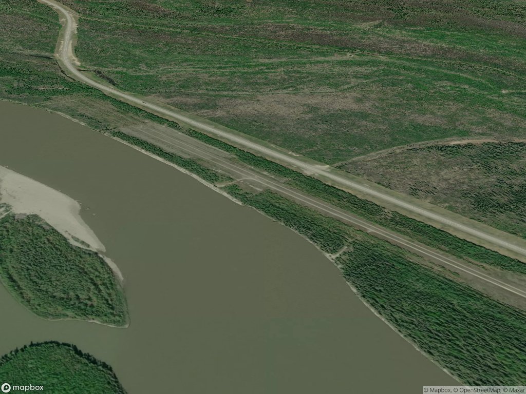
The runway is situated between the Liard River and Alaska Highway, in one of BC's most remote regions and primarily serves bush pilots, hunters, trappers, and wilderness outfitters accessing the surrounding backcountry. It is about 12 miles north of Liard River Hot Springs Provincial Park and the neighboring Liard Hot Springs Lodge & RV Park. If you call ahead the hotel may be able to pick you up at the strip.
The surrounding landscape is classic northern BC boreal wilderness — spruce forest, muskeg, and mountain terrain. Note: there appears to be numerous gravel bars nearby, on the Liard River.
Runway
-
Length
4000
-
Width
20
-
Surface
DIRT
Details
-
Facility ID
?
-
Elevation
1437
-
CTAF
122.9
Gallery
Location
Lat: 59.517620, Long: -126.372235 - BC, Canada
Add a review