Sign in or Register
    • Featured
    • Recreational
    • Restricted
    • Off-Airport
    • Abandoned
    • Outpost
    • Home
    • Explore
    • Shop

    INDIAN CREEK USFS, ID

    • Overview
    • Reviews / PIREPs 0
    • Events
    • Videos
    • prev
    • next
    • Bookmark
    • Share
    • Leave a Review / PIREP
    • Report
    • prev
    • next
    Description

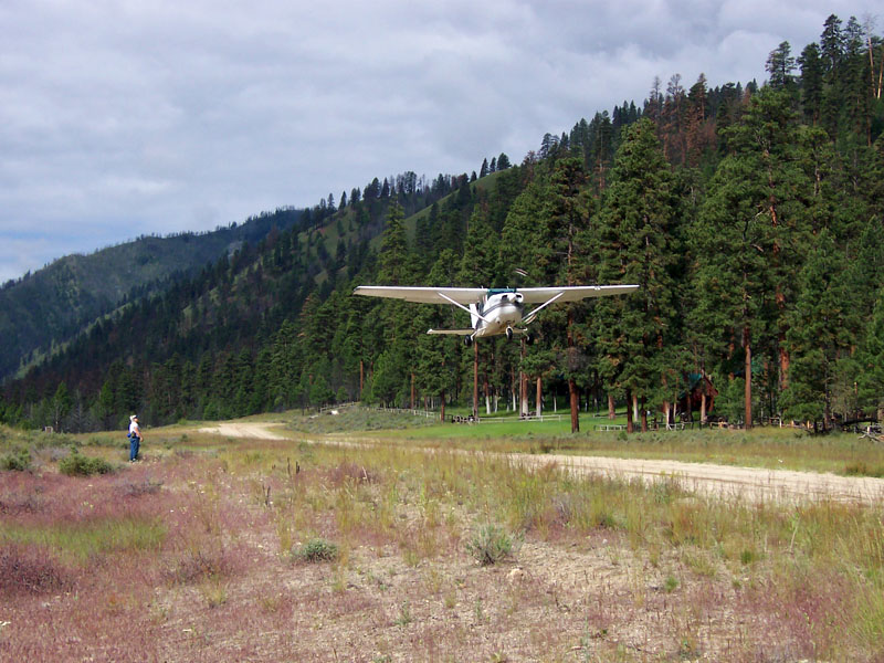
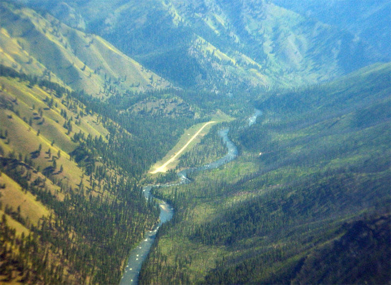
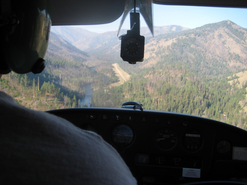
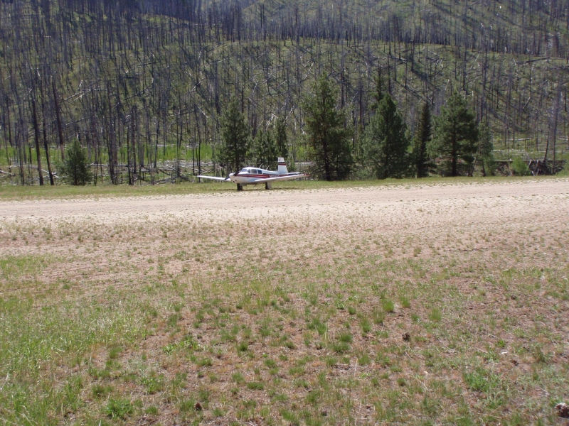
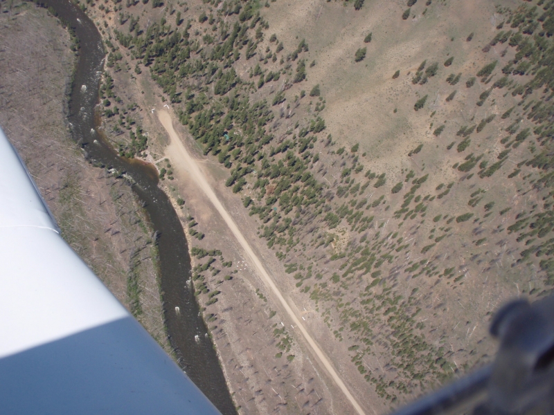
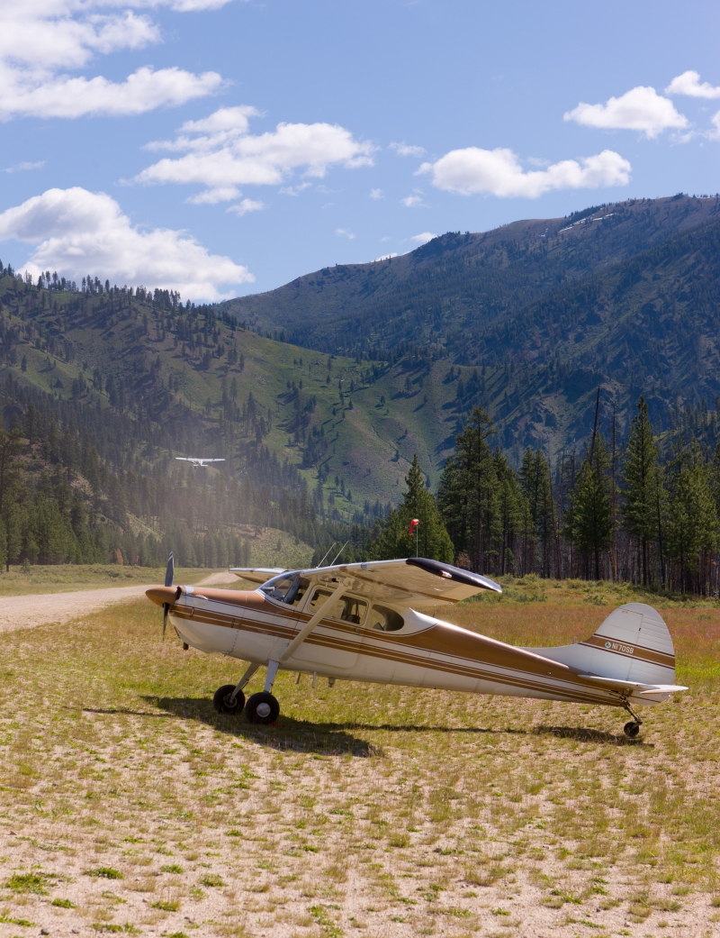
    Located on the Middle Fork of the Salmon River and is a busy place.  Charter operations haul in gear and passengers for river boating trips.  The canyon is narrow and there is a lot of traffic, so stay on the radio and announce your intentions and position, etc.

    Camping:
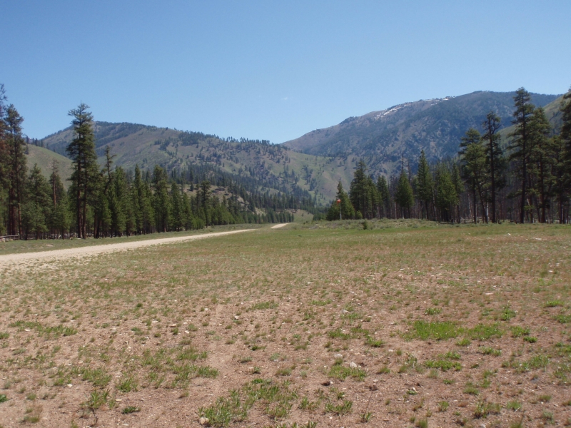
    The 'Airstrip Campground' is located directly adjacent to the runway, and overlooks the river.  Other than a potable water at the guard station, there are no campsite ammenities open to the public...so bring your own ammenities.  The boating traffic increases in late summer.

    Additional campsites are located 1 mile downstream from the runway.  The Indian Creek Camps are located on each side of Indian Creek, where it meets the Middle Fork.

    Hiking
    There is a nice 4 mile hike from the airstrip southwest up Indian Creek to Pistol Creek and on to some rapids that provide excitement for both rafters and observers.  The private Pistol Creek airstrip and community is about 3 miles from Indian Creek and the rapids are about a mile past Pistol Creek.  Be sure to respect the privacy of the Pistol Creek community when traversing across their land.
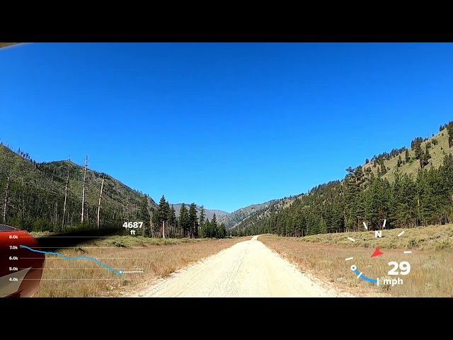
    Runway
    • Length

      4650

    • Width

      40

    • Surface

      DIRT-G

    Details
    • Facility ID

      S81

    • Elevation

      4701

    • CTAF

      122.9

    Gallery
    Location

    Lat: 44.76113888889 , Long: -115.10736111111 - IDAHO, USA

    Get Directions
    Categories
    • Recreational
    Tags
    • Mountains
    • Canyon
    • Trees
    Region
    • Northwest Mountain
    Ownership
    • Public
    Author
    shortfield
    mood_bad
  • No comments yet.
  • Add a review

    Leave a Reply · Cancel reply

    You must be logged in to post a comment.

    Shortfield Playlist
    Prev 1 of 1 Next
    • Indian Creek Landing

      Indian Creek Landing

      #indiancreekairstrip #mountainflying #middlefork #idahomountainflying
    Prev 1 of 1 Next
    YouTube Search
    The request cannot be completed because you have exceeded your quota.

    You May Also Be Interested In

    PISTOL CREEK, ID

    This is a private airstrip.  Do not land without prior permission.The following information is from…
    • 44.73500000000, -115.14500000000
    • Restricted

    THOMAS CREEK, ID

    Thomas Creek is a state owned airstrip located in the Frank Church River of No Return Wilderness, between…
    • 44.72330555556, -115.00397222222
    • Recreational

    Marble Creek, ID

    A short airstrip located on the banks of Marble Creek, a tributary to the Middle Fork of the Salmon River.
    • 44.773472, -114.985278
    • Recreational

    © 2000-2021 shortfield.com

    Cart

      • Featured
      • Recreational
      • Restricted
      • Off-Airport
      • Abandoned
      • Outpost
      • Facebook
      • Twitter
      • WhatsApp
      • Telegram
      • LinkedIn
      • Tumblr
      • VKontakte
      • Mail
      • Copy link