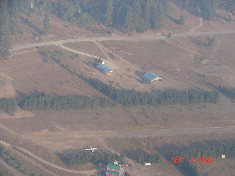
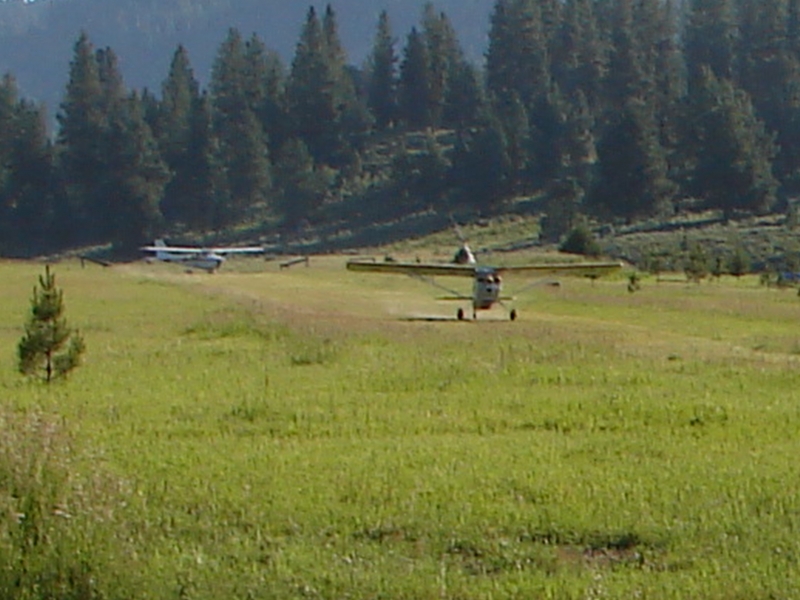
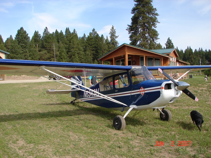
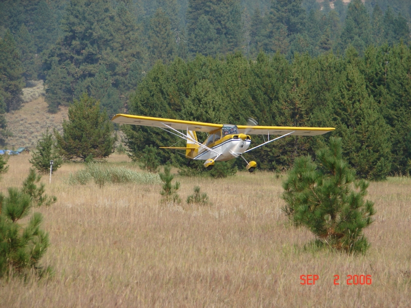
Description
This is a Private Airport
 Monitor Back Country: 122.9
Runway
-
Length
2300
-
Width
50
-
Surface
TURF-DIRT
Details
-
Facility ID
ID35
-
Elevation
4883
-
CTAF
122.9
-
State
ID
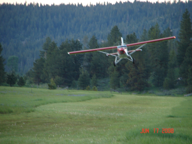
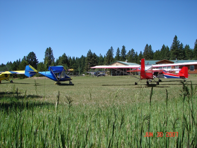
Gallery

Location
Lat: 44.23905805556 , Long: -116.14346444444 - IDAHO, USA
Add a review