
Description
Location Overview:
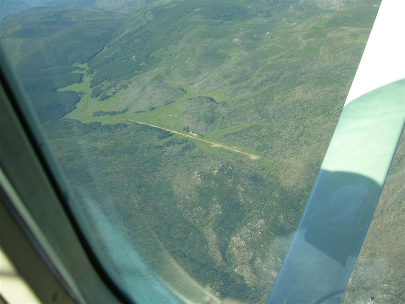
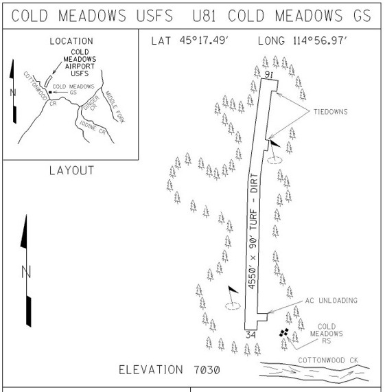
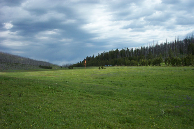
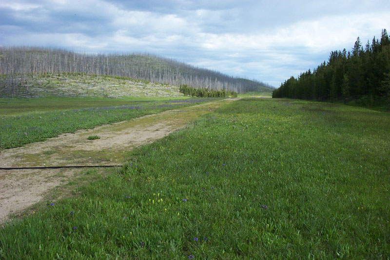
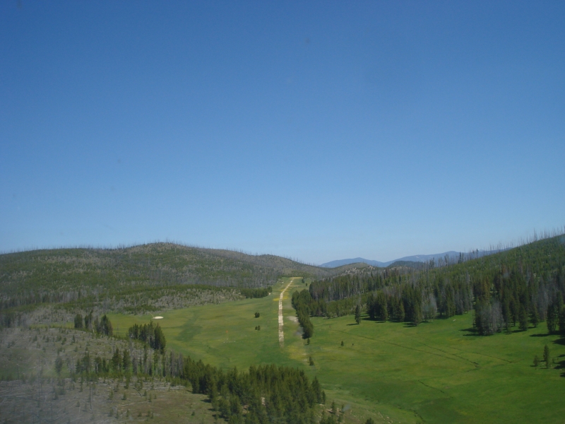
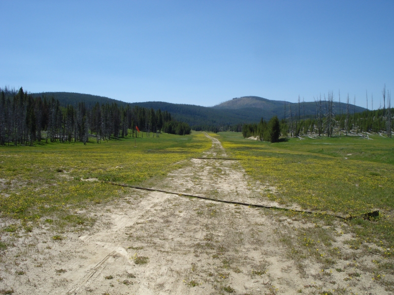
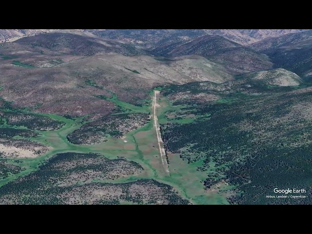
Cold Meadows (U81) sits at roughly 7,030 feet elevation in central Idaho, within the Frank Church–River of No Return Wilderness area near the Cold Meadows Guard Station. It's a Forest Service airstrip surrounded by open meadows and lodgepole pine woods, accessible only by air or a long trail hike — there's no low-standard road access to speak of. The single turf runway, designated 16/34, is about 4,550 feet long.
Camping & Recreation:
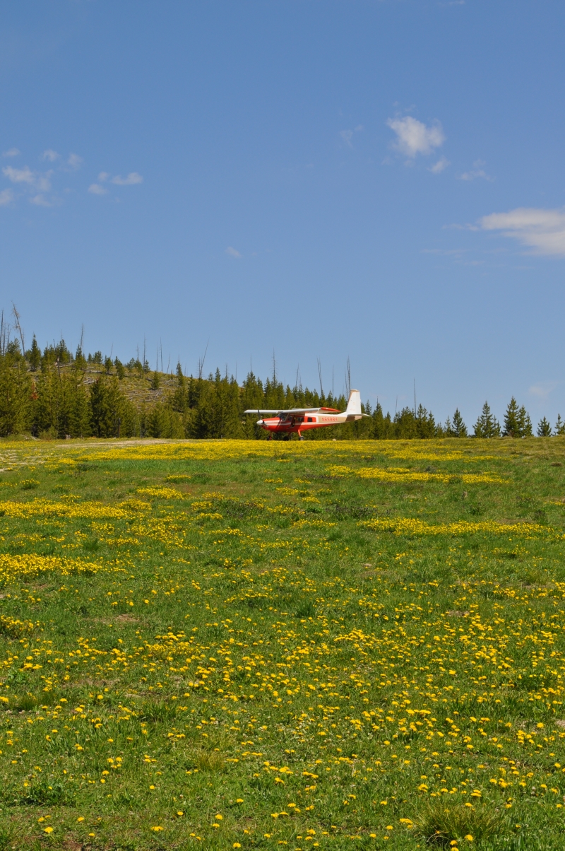
There are no camping amenities at the airstrip itself, but the surrounding meadows offer plenty of natural spots to pitch a tent, with water available from nearby small streams (filter or boil before drinking). Several hiking trails lead out from Cold Meadows through open meadows and pine forest. The area sees most of its traffic in fall from big-game hunters, and anglers willing to make the four- to five-hour hike to Black Lake are often rewarded with large cutthroat trout.
Notes & Warnings:
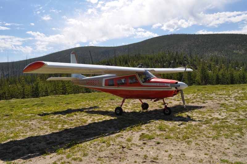
This is a serious backcountry strip that demands respect. Runway 16 slopes downhill, and the field can experience high density altitude, so performance planning matters. Pilot reports describe a significant runway slope, with the recommendation to land uphill to the north, and the strip is best suited to aircraft on tundra-type tires. There is no winter maintenance, and the airstrip can remain snow-covered well into spring, sometimes under a foot or two of snow into May. Weather can turn quickly at this elevation — nighttime temperatures drop even in summer, and snow is possible even in June, with resulting mud and slush making for tricky landings and takeoffs. A departure to the south down Cotton Wood Creek leads toward lower terrain, and ground markers made of white rocks indicate landing and departure directions.
History:
Cold Meadows has long served as a Forest Service outpost and backcountry access point in the vast Frank Church Wilderness, one of the largest wilderness areas in the contiguous United States. The strip and its adjacent guard station grew out of the Forest Service's need for aerial access to remote fire lookout and administrative sites throughout central Idaho's rugged mountain interior, at a time when trails and pack strings were the only ground alternative. Over the decades it has become a well-known destination among Idaho's backcountry flying community, celebrated in guides and pilot lore for its beauty and its unforgiving character — it's the kind of place that, as backcountry aviation chronicler Galen Hanselman put it, has a special appeal to those drawn to true isolation. Today it remains an active but lightly used strip, valued mainly by hunters, anglers, and pilots seeking genuine wilderness immersion.
Runway
-
Length
4550
-
Width
90
-
Surface
TURF-DIRT-F
Details
-
Facility ID
U81
-
Elevation
7030
-
CTAF
122.9
Gallery
Location
Lat: 45.29350000000 , Long: -114.94530555556 - IDAHO, USA

Add a review