Sign in or Register
    • Featured
    • Recreational
    • Restricted
    • Off-Airport
    • Abandoned
    • Outpost
    • Home
    • Explore
    • Shop

    BULL RUN, OR

    • Overview
    • Reviews / PIREPs 1
    • Events
    • Videos
    • prev
    • next
    • Bookmark
    • Share
    • Leave a Review / PIREP
    • Report
    • prev
    • next
    Description

    NOTE: It is unknown if this strip is officially open.  Check with appropriate authorities before using this airstrip.

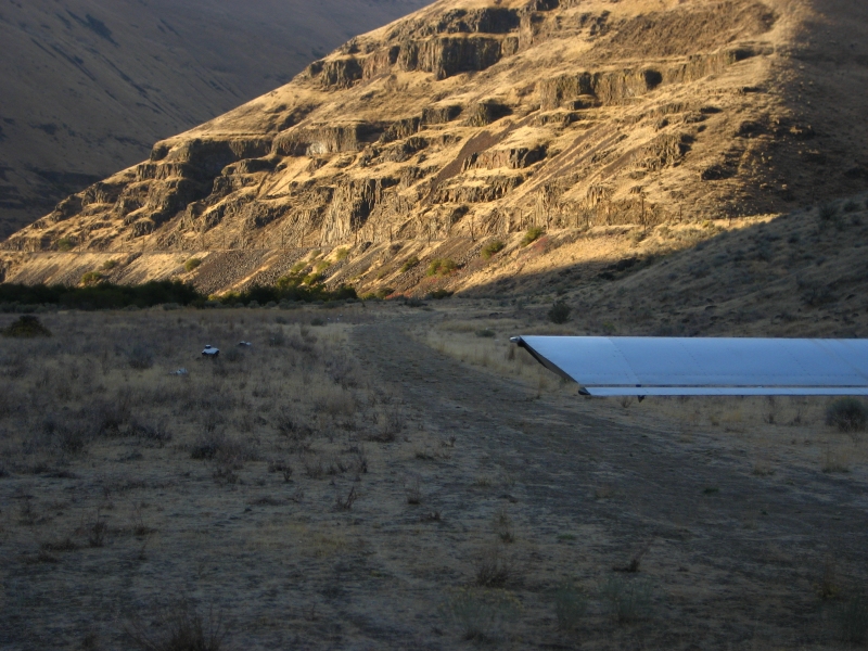
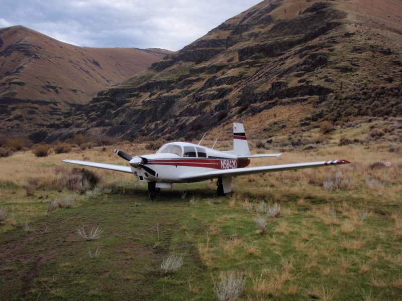
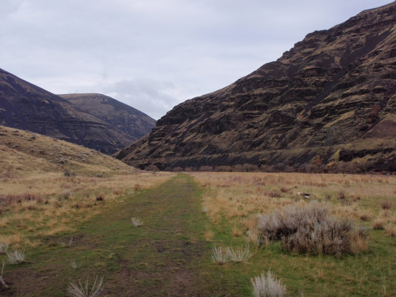
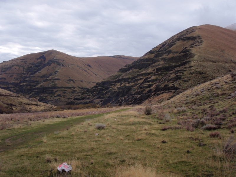
    The strip is in pretty good condition. There are no signs indicating that it is closed to airplanes and it apparently sees regular use. There are no tie-downs, or even any clearly defined parking spots. There is camping and a toilet there, but not too much else.

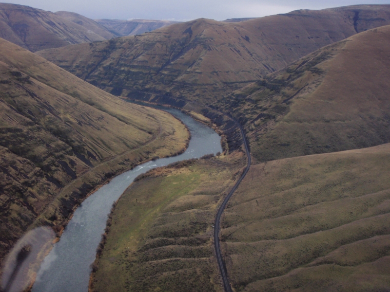
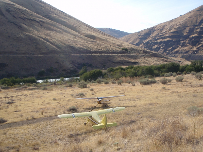
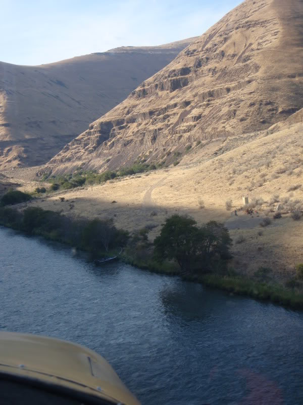
    We found very accessible trout and steelhead water, both up and downstream. It is around 800' in length with a small hump 2/3 of the way from the upstream end, and about a seven degree dog-leg in the same spot.

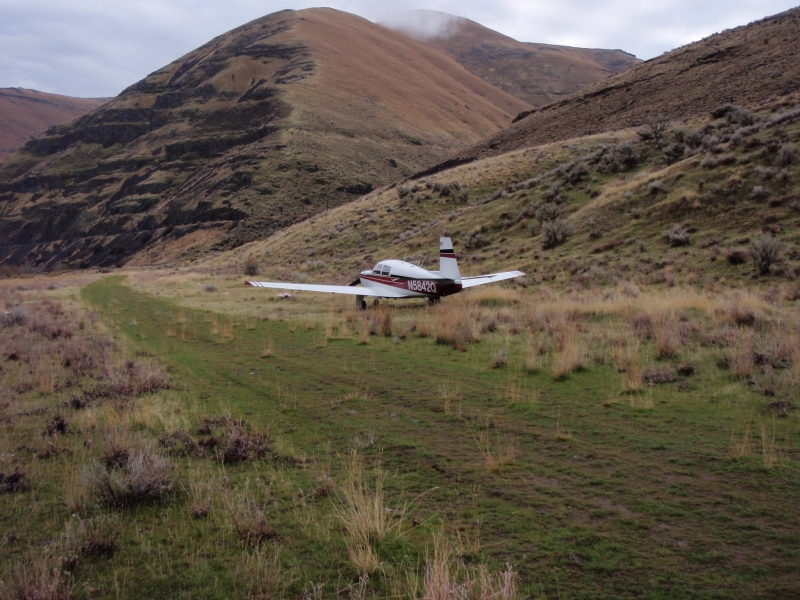
    Approaching from either direction, one must be just a couple hundred feet above the water when finally it becomes visible, which requires that you maneuver through the steep narrow canyon. I would not recommend attempting to land here unless you have developed good short-field skills and are comfortable maneuvering in tight terrain.

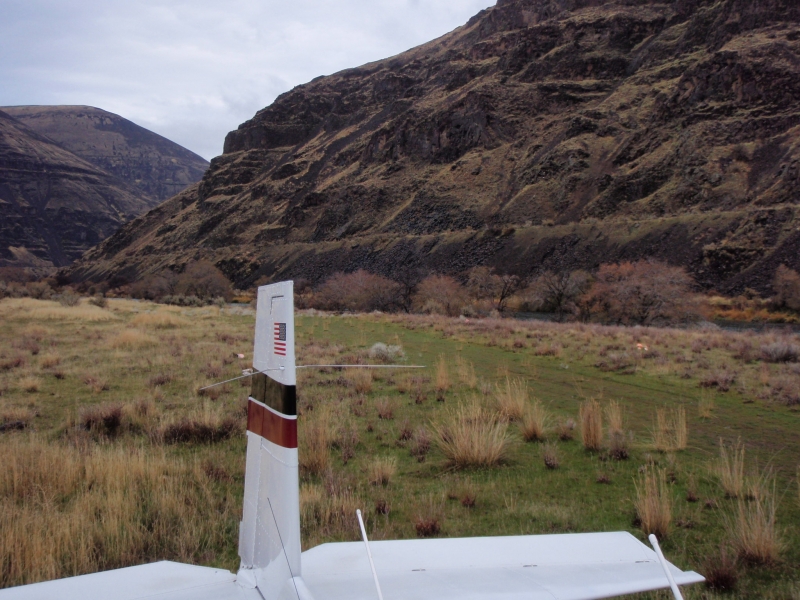
    Approaching from upstream allows one to line up with a greater stretch of the runway, as the dog-leg is at the downstream end. Initially I tried to land downstream and went around because I was not aligned with the longer portion of the runway. 

    The field elevation is around 400' msl. There is no wind-sock, although there is a wind-turbine next to the railroad tracks, which will provide the wind direction and velocity if it is great enough to start the rotor turning.

    -From Scolopax

    Runway
    • Length

      1000

    • Width

      ?

    • Surface

      DIRT

    Details
    • Facility ID

      No ID 033

    • Elevation

      400

    • CTAF

      122.9

    Gallery
    Location

    Lat: 45.45000000000 , Long: -120.86300000000 - OREGON, USA

    Get Directions
    Categories
    • Recreational
    Tags
    • Desert
    • Canyon
    Region
    • Northwest Mountain
    Ownership
    • Public
    Author
    shortfield
    • piperpainter
      October 21, 2022 at 10:02 am

      Flew over, didn’t land due to winds. Looks in good shape

      Log in to Reply
    Add a review

    Leave a Reply · Cancel reply

    You must be logged in to post a comment.

    YouTube Search
    The request cannot be completed because you have exceeded your quota.

    You May Also Be Interested In

    SIXTEEN CANYON, OR

    Caution: The conditions of this airstrip are completely unknown.  It is most likley hazerdous and…
    • 45.40227700000, -120.86763400000
    • Recreational

    CHUKAR FLATS, OR

    Chukar Flat Airstrip is a jewel. The strip is located at N45-13.6, W120-32.6. It lies on a silty bar on…
    • 45.22222222222, -120.54222222222
    • Recreational

    PINE HOLLOW, OR

    Pine hollow is a private strip. To land here you need to sign the permission slip and return it to the…
    • 45.25483944444, -121.29367805556
    • Restricted

    © 2000-2021 shortfield.com

    Cart

      • Featured
      • Recreational
      • Restricted
      • Off-Airport
      • Abandoned
      • Outpost
      • Facebook
      • Twitter
      • WhatsApp
      • Telegram
      • LinkedIn
      • Tumblr
      • VKontakte
      • Mail
      • Copy link