Description
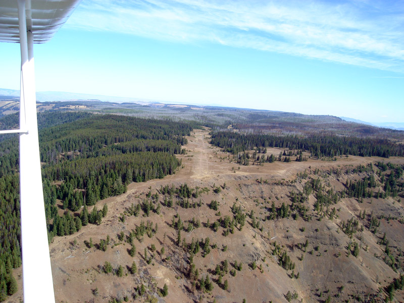
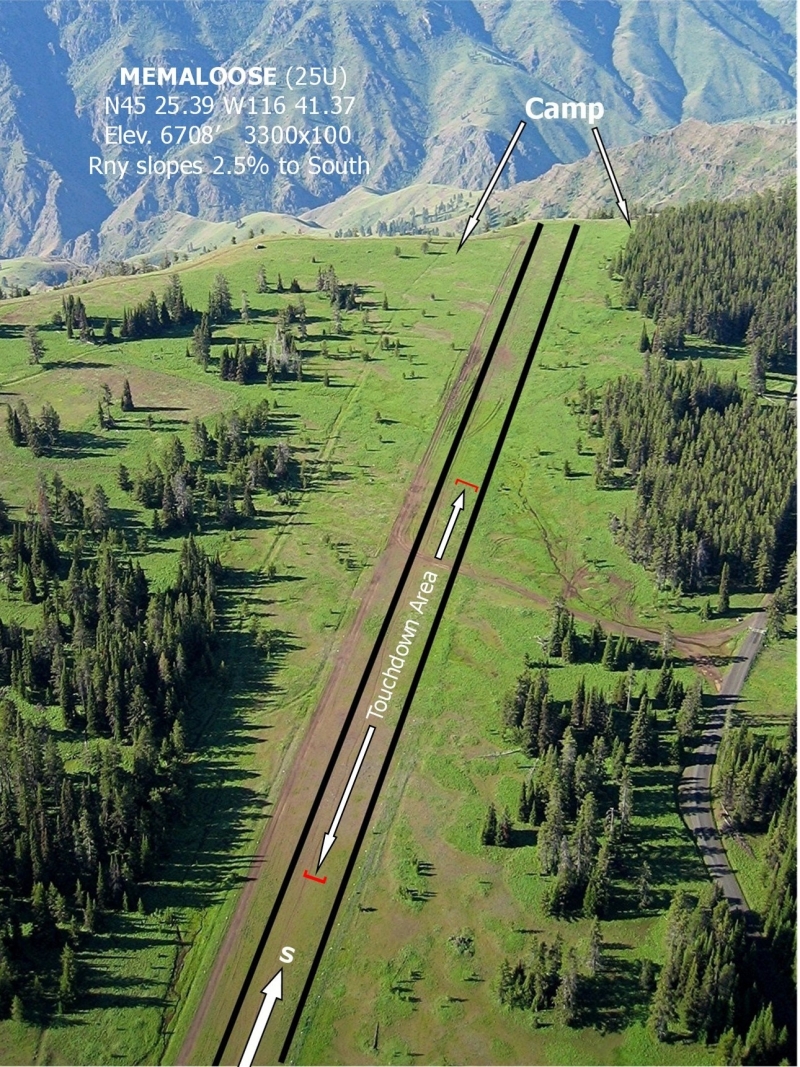
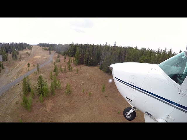
Memaloose is a U.S. Forest Service backcountry airstrip perched dramatically on the Oregon rim of Hells Canyon, sitting at an elevation of 6,708 feet MSL and overlooking the Snake River roughly 5,000 feet below. Hells Canyon itself is North America's deepest river gorge, carved by the Snake River along the Oregon-Idaho border.
The strip is unpaved and comes with real operational challenges. It can develop deep ruts and soft wet spots after rain, and pilots must contend with high density altitude and turbulent mountain air. The runway climbs toward the south as it approaches the canyon rim, meaning the choice of takeoff direction requires careful thought depending on aircraft performance, winds, and other conditions. Snow can linger on the strip well into June, and pilot reports note that the northern end of the runway is especially prone to mud and standing water in shoulder seasons.
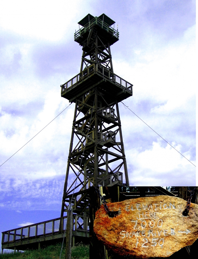
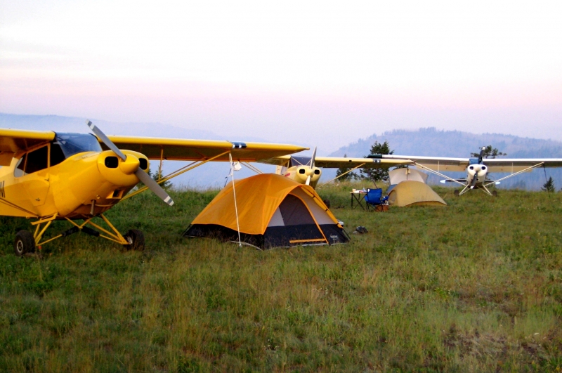
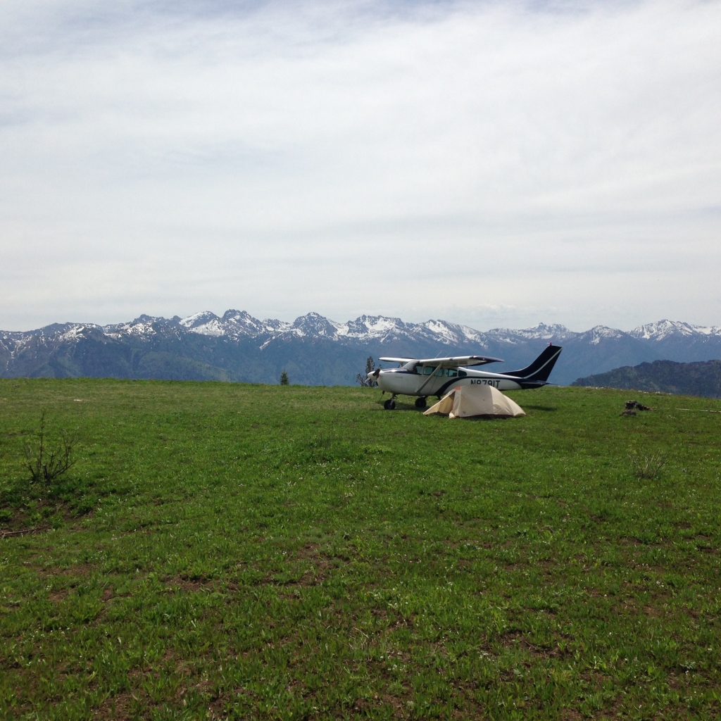
Memaloose serves as a gateway for aerial firefighting in the Hells Canyon National Forest, as well as for pilots wanting to explore the area's remote and scenic terrain, with access to hiking, camping, and other outdoor activities nearby. It sits adjacent to the Memaloose Guard Station, and the nearby Hat Point Lookout offers what many consider the finest vantage point on the Oregon rim of the canyon.
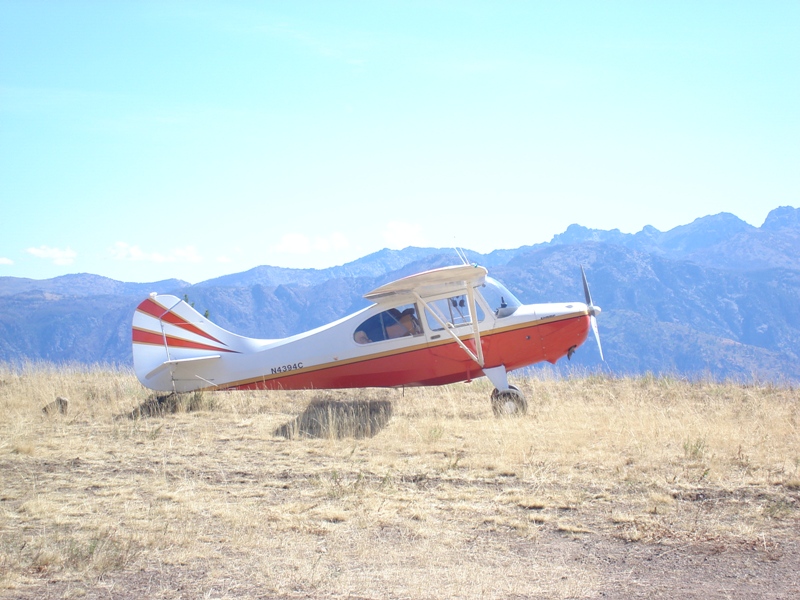
For the right pilot and aircraft, it's a rewarding destination, but its combination of altitude, variable surface conditions, and canyon-edge exposure make it solidly a strip for experienced backcountry fliers.
Runway
-
Length
3300
-
Width
120
-
Surface
DIRT-P
Details
-
Facility ID
25U
-
Elevation
6708
-
CTAF
122.9
Gallery
Location
Lat: 45.42786111111 , Long: -116.69388888889 - OREGON, USA


Add a review