Description
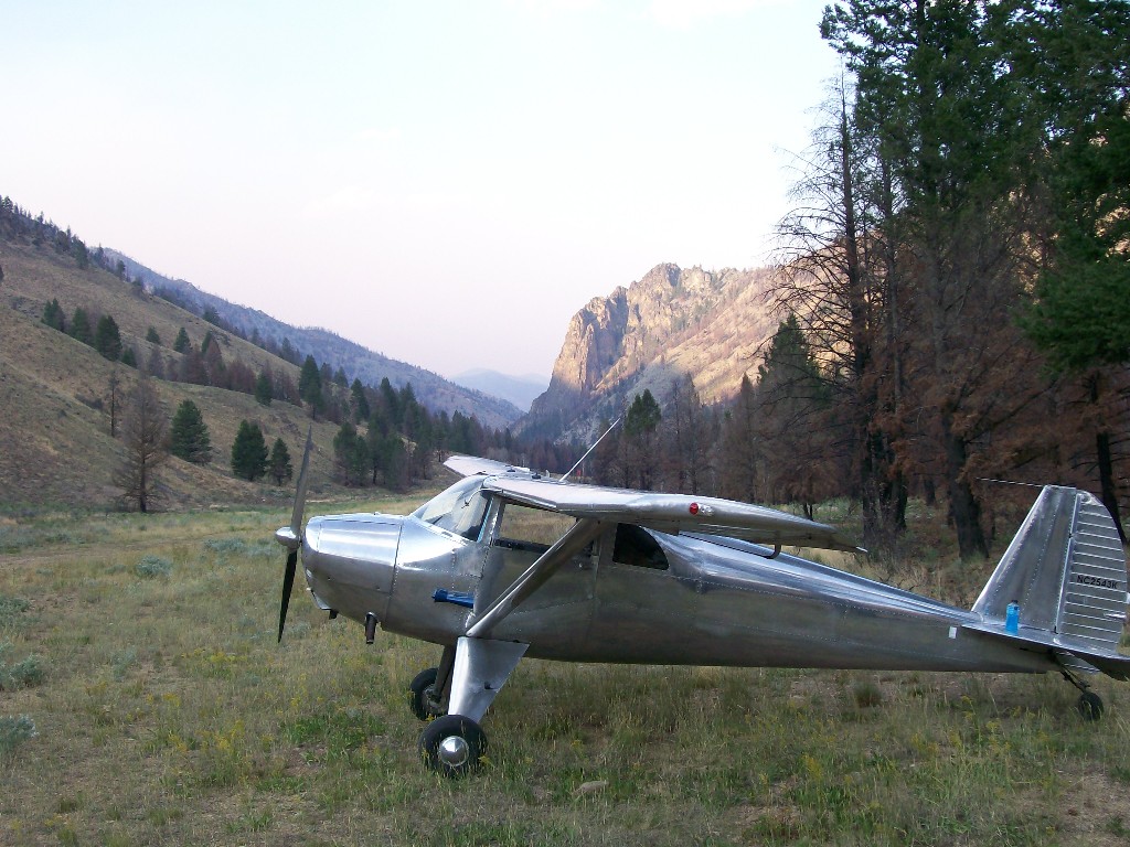
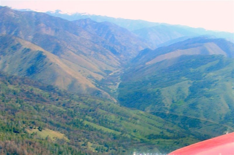
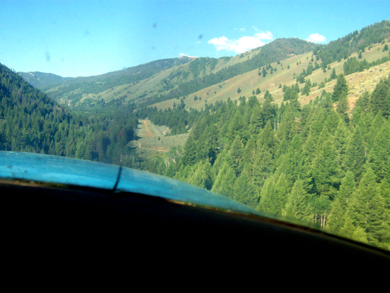
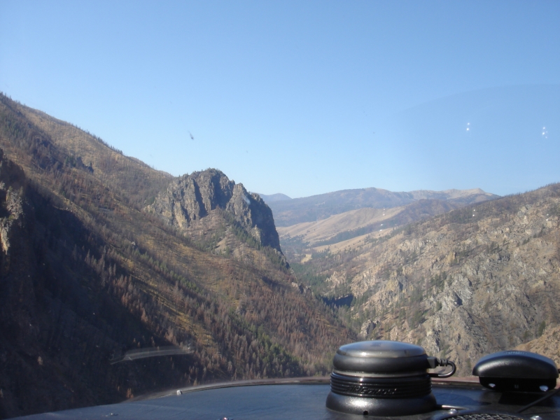
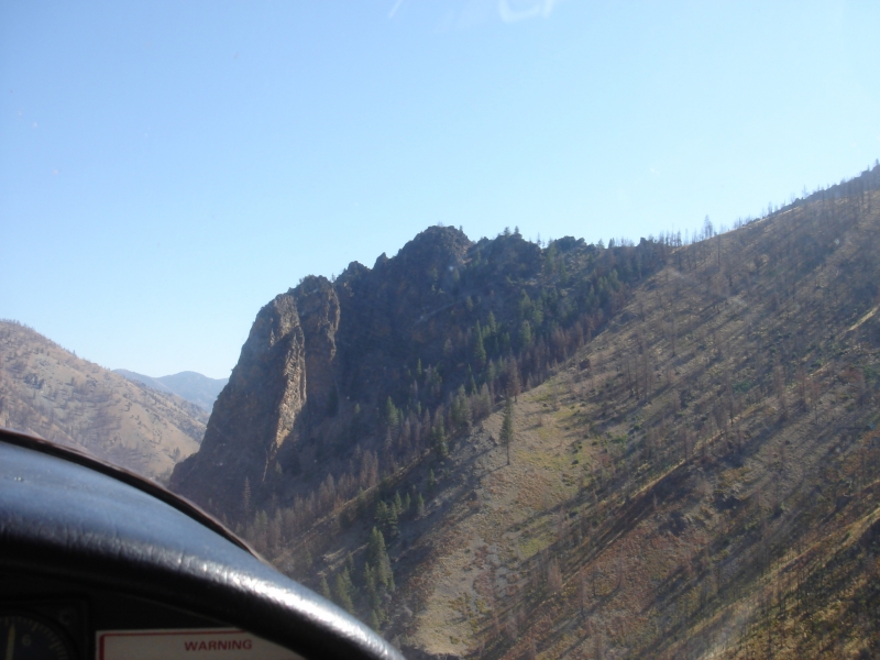
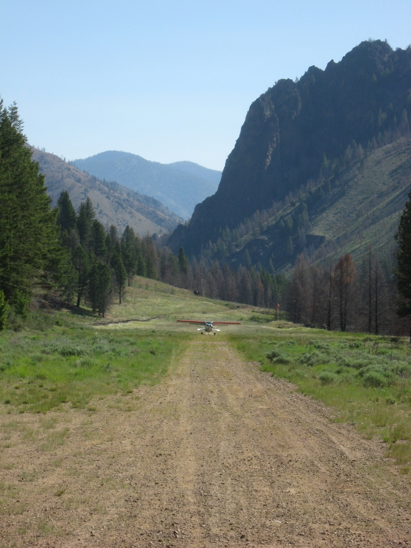
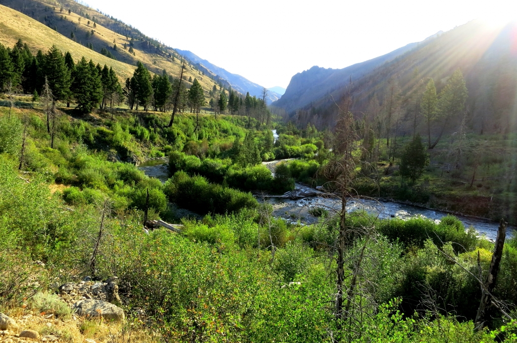
The airstrip is situated along a road corridor that passes through the Frank Church River of No Return Wilderness, with wilderness rules applying on either side of the road. The strip sits next to a straight stretch of Loon Creek in a valley carved by the creek. It's a popular and relatively accessible backcountry destination, well-regarded for fishing and as a gateway to the Frank Church Wilderness.
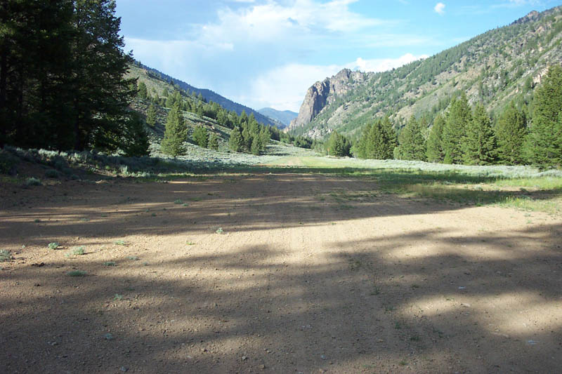
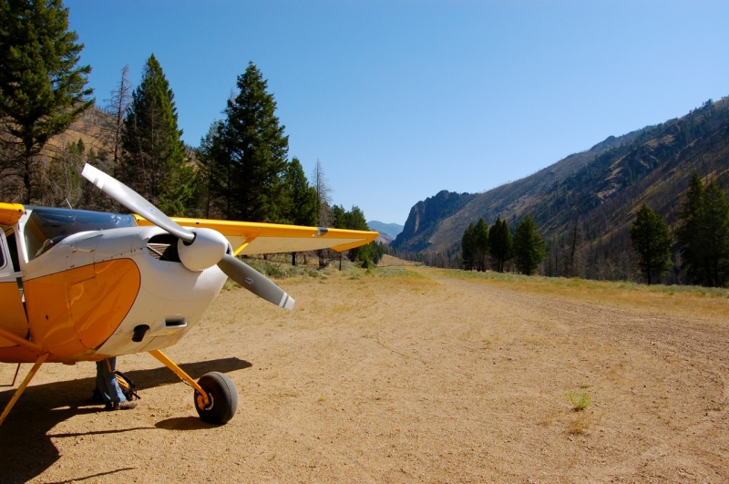
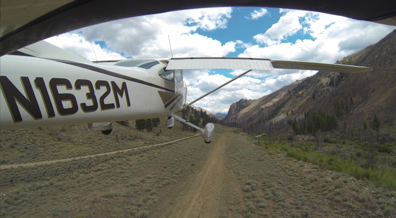
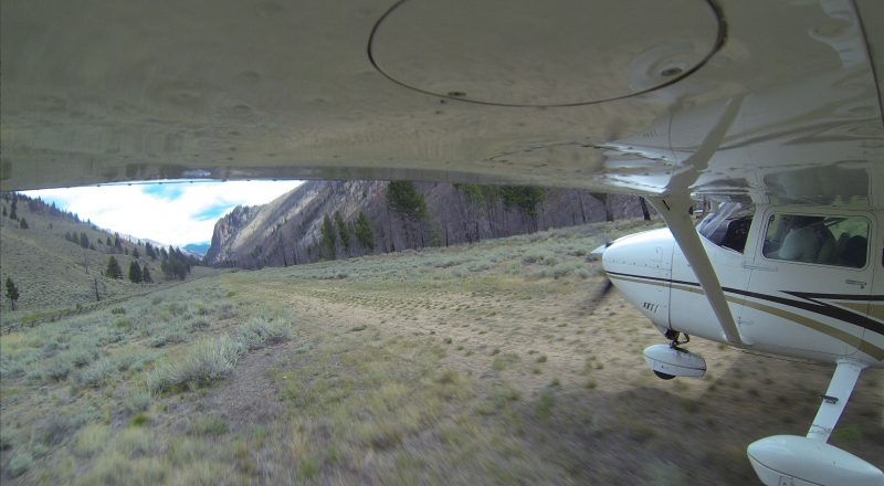
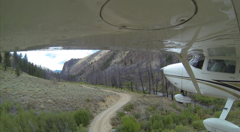
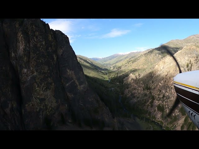
Runway & Approach Upper Loon is considered quite tame compared to other Idaho backcountry strips, and it offers a very long straight-in approach past a scenic cliff. There is a small hill and trees to be cleared when departing Runway 4; once past them, pilots continue down Loon Creek over descending terrain. Density altitude, aircraft weight, and wind are all important factors to consider.
Best Times to Fly It is best to use the airstrip in the mornings or late afternoons when the air tends to be cool and calm.
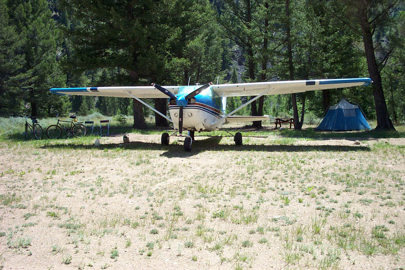
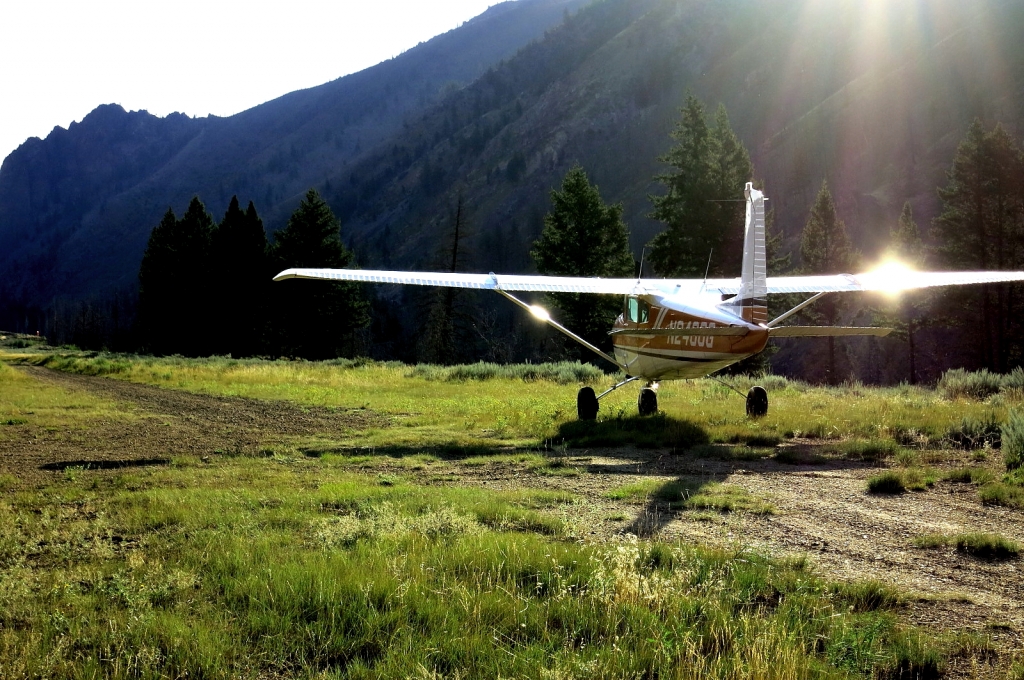
Facilities A fully developed campground is located about a half mile downstream from the airstrip. Navigation aids include a windsock and segmented circle. The strip can be accessed by a low-standard road.
Nearby Attractions
Fishing can be good in Loon Creek, and hot springs are located about five miles downstream.
The Diamond D Ranch is located 3 miles upstream and is pilot-friendly, offering guided fly-fishing, trail rides, guided hikes, and other amenities. They will pick up pilots at the airstrip.
There is also a day hike from the airstrip to hot springs down Loon Creek, roughly 7 miles one way.
Runway
-
Length
2500
-
Width
75
-
Surface
TURF-DIRT-F
Details
-
Facility ID
U72
-
Elevation
5500
-
CTAF
122.9
Gallery
Location
Lat: 44.59157805556 , Long: -114.82314333333 - IDAHO, USA


Add a review