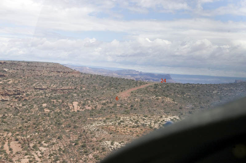
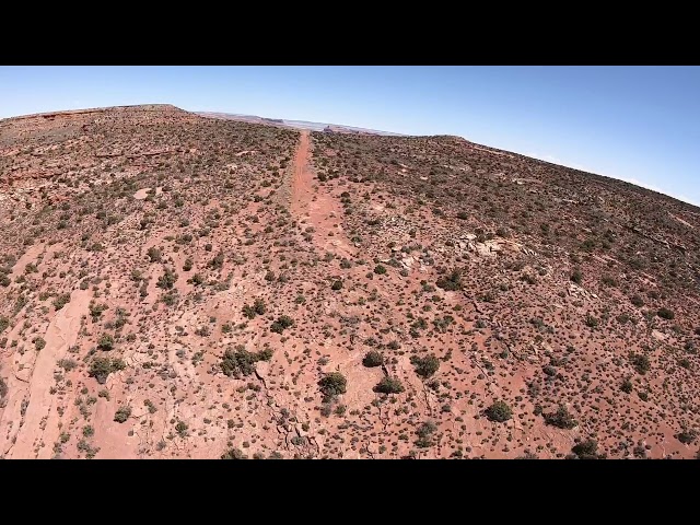
Sign in or Register
    • Featured
    • Recreational
    • Restricted
    • Off-Airport
    • Abandoned
    • Outpost
    • Home
    • Explore
    • Shop

    NOKAI DOME, UT

    • Overview
    • Reviews / PIREPs 0
    • Events
    • Videos
    • prev
    • next
    • Bookmark
    • Share
    • Leave a Review / PIREP
    • Report
    • prev
    • next
    Description

    Edges of strip are deep (6-12") red powdery dirt; make sure you stay on the center of the strip

    Runway
    • Length

      2237

    • Width

      30-50

    • Surface

      DIRT

    Details
    • Facility ID

      No ID 022

    • Elevation

      5946

    • CTAF

      122.9

    • State

      UT

    Gallery
    Location

    Lat: 37.27871666667 , Long: -110.57205000000 - UTAH, USA

    Get Directions
    Categories
    • Recreational
    Tags
    • Desert
    Region
    • Northwest Mountain
    Ownership
    • Public
    Author
    shortfield
    mood_bad
  • No comments yet.
  • Add a review

    Leave a Reply · Cancel reply

    You must be logged in to post a comment.

    YouTube Search
    Prev 1 of 11 Next
    • Nokai Dome

      Nokai Dome

      Landing on the Nokai Dome in southern Utah
    • Utah Airstrips - Low Pass Nokai Dome

      Utah Airstrips - Low Pass Nokai Dome

    • Nokai Dome

      Nokai Dome

    • nokai_dome.wmv

      nokai_dome.wmv

      In November 2009, I flew to Monument Valley with my flying buddies Paul and Mike. We continued on for 3 days of flying and two nights of camping at Utah backcountry airstrips strips. The first was Nokai Dome, on a rise overlooking the San Juan River and Lake Powell.
    • Hole in the Rock - Nokai Dome Road

      Hole in the Rock - Nokai Dome Road

      Riding the washout bypass along Nokai Dome Road to the Hole in the Rock Trail.
    • The most beautiful airplane camp of the year (ribeye)

      The most beautiful airplane camp of the year (ribeye)

      PIREPs have mentioned the strip being soft. That's not unfair, exactly, but I think it overstates the case, at least when dry. If wet, I could imagine it being soupy and sticky pretty quickly.

      It's plenty long, but tight. Directional control is at a real premium. If you make an excursion, your in the bushes and rocks in a heartbeat. In addition to being tight, it *looks* really tight. So the landing will really get your full attention.

      Once on the ground, it's an awesome place. There are several camping spots and a UTV road off the end of the runway that provides tons of easy hiking to the many, many vistas of the surrounding canyons and mountains. Despite being very remote, there is good quality cell coverage.
    Prev 1 of 11 Next

    You May Also Be Interested In

    ZAHNS CAMP, UT

    CLOSED!!This from the Utah Backcountry Pilots Association website:"Zahn's Camp airstrip is NOT open…
    • 37.22222222222, -110.55000000000
    • Recreational

    PIUTE FARMS, UT

    • 37.24243164063, -110.42610168457
    • Recreational

    CLAY HILLS CROSSING, UT

    • 37.31695175171, -110.36736297607
    • Recreational

    © 2000-2021 shortfield.com

    Cart

      • Featured
      • Recreational
      • Restricted
      • Off-Airport
      • Abandoned
      • Outpost
      • Facebook
      • Twitter
      • WhatsApp
      • Telegram
      • LinkedIn
      • Tumblr
      • VKontakte
      • Mail
      • Copy link