Sign in or Register
    • Featured
    • Recreational
    • Restricted
    • Off-Airport
    • Abandoned
    • Outpost
    • Home
    • Explore
    • STOL Gear

    DOLORES POINT, CO

    A cliff-edge mesa-top backcountry airstrip near Gateway, Colorado, prized for its jaw-dropping views and challenging approach.

    • Overview
    • Reviews / PIREPs 0
    • Videos
    • Events
    • prev
    • next
    • Leave a Review / PIREP
    • Bookmark
    • Report
    • Share
    • prev
    • next
    Description

    Location Overview
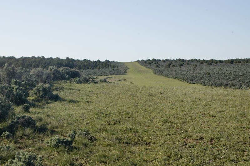
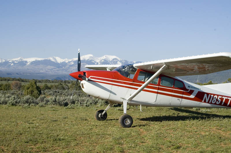
    Dolores Point sits atop a high mesa in western Colorado near the Utah border, just west of the small town of Gateway. To the west, the view stretches toward Castle Valley and the La Sal Mountains, while to the east it opens onto the Dolores River and the Uncompahgre Plateau. The strip runs about 3,300 feet long at an elevation of roughly 7,150 feet.

    Camping & Recreation
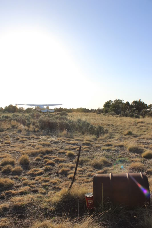
    A short hike to the eastern canyon rim offers a dramatic view overlooking the Dolores River nearly 3,000 feet below, and old mining equipment can still be seen scattered around the airstrip and parking area. Dolores Point offers great primitive camping, though no water or facilities exist onsite — solitude is the main draw. Nearby, the town of Gateway has a hotel that maintains the airstrip and can arrange a pickup for visiting pilots.

    Notes & Warnings
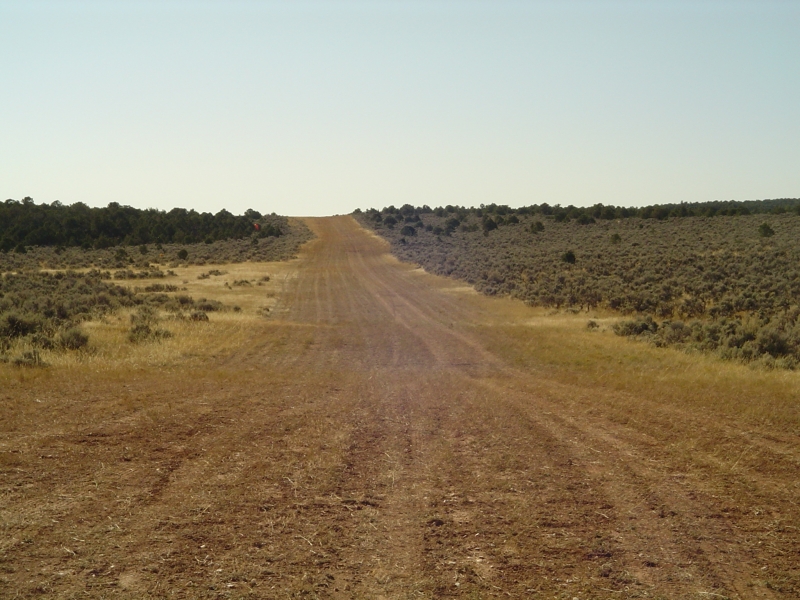
    This is a demanding strip. Pilots face an uneven surface, high density altitude, and shifting canyon winds, and overflying the runway first to check conditions and wind is strongly recommended. Runway 14 has a 1.7% uphill grade with several uneven "humps," and the southern third has a developing rut several inches wide and deep running about 80 feet down the center of the runway. Departures on runway 32 aren't straight — the runway jogs slightly left near the top of the hill — and STOL aircraft can use a high point 800 feet north for a clearer view of the remaining runway. Because the strip doubles as an active BLM road, ATVs or Jeeps occasionally use it; aircraft technically have right of way, but courtesy is expected, and wildlife or cattle may also be present as a hazard. As of a few years ago, Dolores Point was among several Colorado backcountry airstrips flagged as potentially at risk of closure under a BLM Grand Junction Field Office travel management plan — worth checking current status before planning a trip.

    History
    Dolores Point was originally built in the 1940s by Wally Winfield, a WWII Air Force veteran who later became a rancher and uranium miner in the Grand Junction and Gateway areas. He was tasked by the Atomic Energy Commission with building the airstrip to connect the region's uranium mining community with supplies and services from Grand Junction and surrounding cities. The strip remains a well-known destination in the modern backcountry flying community, frequently featured in pilot trip reports and Colorado airstrip guides.

    Runway
    • Identifer

      14/32

    • Length

      3300

    • Width

      40

    • Surface

      GRASS

    Details
    • Facility ID

      No ID 023

    • Elevation

      7154

    • CTAF

      122.9

    • State

      Colorado

    Gallery
    Location

    Lat: 38.70191666667 , Long: -109.04336666667 - COLORADO, USA

    Get Directions
    Flyover Video
    Prev 1 of 1 Next
    • Runway Flyover - Dolores Point, Colorado

      Runway Flyover - Dolores Point, Colorado

      @shortfieldvideos
    Prev 1 of 1 Next
    Categories
    • Recreational
    Tags
    • Desert
    • Camping
    • Canyon
    Region
    • Northwest Mountain
    Ownership
    • Public
    Author
    shortfield

    Land here, before you land out there!

    mood_bad
  • No reviews/PIREPs have been posted yet.

  • Add a review

    Leave a Reply · Cancel reply

    You must be logged in to post a comment.

    Shortfield Playlist
    Prev 1 of 2 Next
    • Dolores Point 2026

      Dolores Point 2026

      Albuquerque, NM
      Hesperus Peak, CO
      Paradox Valley, CO
      Sinbad Valley, CO
      Salt Creek, CO
      Gateway, CO
      The Palisade, CO
      Dolores Point Airstrip, CO
      Top of the World, UT
      The Titan, UT
      Castleton Tower, UT
      La Sal, UT
    • Landing Dolores Point

      Landing Dolores Point

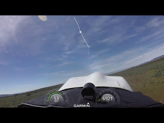
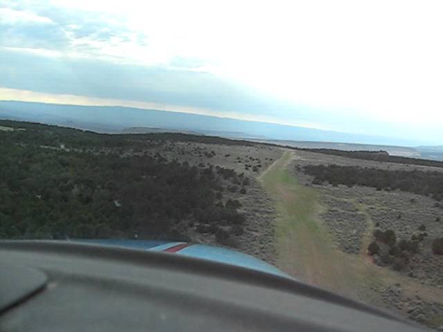
      Dolores point airstrip is in Western Colorado, near the Utah line. Field elevation is over 7000', so density altitude is a concern. The airplane is a homebuilt Zenith STOL CH701.
    • Dolores Point Go-Around

      Dolores Point Go-Around

      Utah 2019
    • Dolores Point Landing

      Dolores Point Landing

      First Flight of the season into Dolores Point
    • Spring flight to Dolores Point

      Spring flight to Dolores Point

      First flight of the season into Dolores Point Colorado.
      A bit on the bumpy side but still fun.
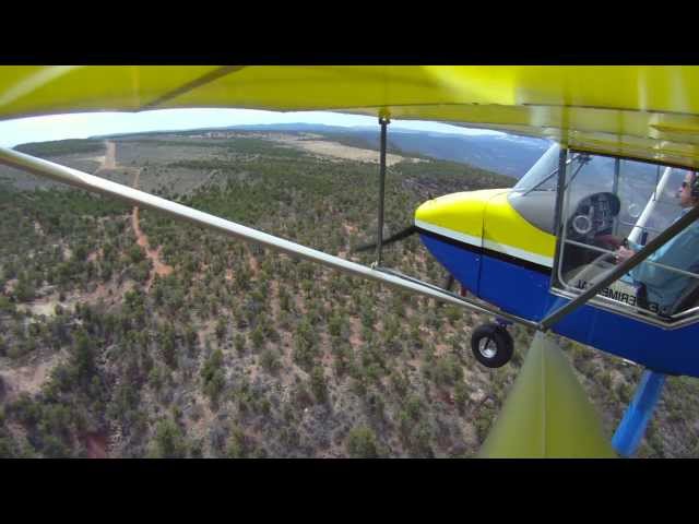
      Rans S-7S
    • Dolores Point CO Touch and Go

      Dolores Point CO Touch and Go

      OK, so we were just bagging strips on our way back from Denver to Mexican Mountain.
    Prev 1 of 2 Next

    You May Also Be Interested In

    STEAMBOAT MESA, UT

    Lightly used desert plateau strip. mostly grass, Very faint and hard to see even from the air. Probably best…
    • 38.77116700000, -109.09166700000
    • Recreational

    Flat Top Mesa, CO

    A breathtaking and unforgiving mesa-top strip perched at the edge of a 650-foot cliff, where uranium mining history meets some of the most challenging backcountry flying in the Colorado Plateau.
    • 38.5933, -108.9145
    • Recreational

    Calamity Mesa, CO

    A remote backcountry airstrip perched atop a rugged Colorado mesa, offering a true off-the-beaten-path flying adventure steeped in uranium mining history.
    • 38.591056, -108.859625
    • Recreational

    © 2000-2025 shortfield.com

    Cart

      • Featured
      • Recreational
      • Restricted
      • Off-Airport
      • Abandoned
      • Outpost
      • Facebook
      • Twitter
      • Mail
      • Copy link