
Description
Location Overview
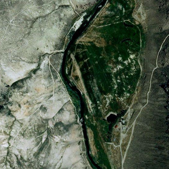
45 Ranch sits as an isolated 240-acre private inholding completely surrounded by the Owyhee River Wilderness Area in the far southwest corner of Idaho. It's one of the only pieces of developed private land within a roughly 500-square-mile stretch of BLM-managed canyon and sage country, and reaching it typically means flying in on the ranch's private grass strip or driving a rough, three-hour route over primitive BLM roads from the small Nevada community of Owyhee. By small plane, it's roughly a 45-minute hop from the Boise area.
Camping & Recreation
The property offers a furnished three-bedroom cabin, a caretaker's residence, and a restored stone homestead cabin, along with off-grid solar power, backup generators, and satellite internet. The South Fork of the Owyhee River runs through the ranch for nearly a mile, supporting native redband trout and smallmouth bass, and drawing rafters and kayakers during a brief spring window when flows allow. Visitors can also hike, fish, hunt chukar and quail, and watch for elk, mule deer, and California bighorn sheep, all under some of the darkest night skies in the country. Old pictographs, petroglyphs, and ranching relics scattered around the canyons add a cultural layer to exploring the area.
Notes & Warnings
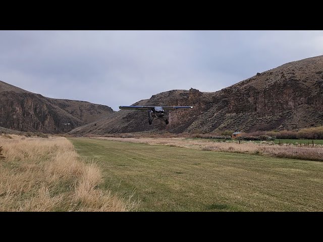
The airstrip is a 2,700-foot by 60-foot turf runway at about 4,300 feet field elevation, with terrain obstacles at both ends, so it demands real mountain/canyon flying experience and comfort with high-density-altitude operations. Pilots should never land if irrigation sprinklers are running on the strip; an alternate BLM dirt airstrip with crossing runways sits about two miles away as a backup. There's no fuel available on-site, so trip planning has to account for that, and the remoteness of the location means self-sufficiency is essential.
History
For more than 100 years, 45 Ranch served as headquarters for a large cattle operation that helped shape the ranching culture of Idaho's remote southwestern corner, and native peoples used the surrounding canyon country for thousands of years before that, leaving behind rock art and tools still found in the area. In more recent times, the ranch shifted from a working cattle operation into a wilderness retreat, preserving its homestead-era stone cabin and historic poplar plantings while adding modern off-grid amenities. It's now maintained by the Jim Richmond Backcountry Aviation Foundation, named for a pilot who reportedly admired the property's isolation from the air for years, long before it became accessible to visiting aviators.
Runway
-
Length
2,700
-
Width
60
-
Surface
DIRT
Details
-
Facility ID
No ID 131
-
Elevation
4400
-
CTAF
122.9
-
State
Idaho
Gallery
Location
Lat: 42.17463100000 , Long: -116.87631400000 - IDAHO, USA




Add a review