
Description
Location Overview
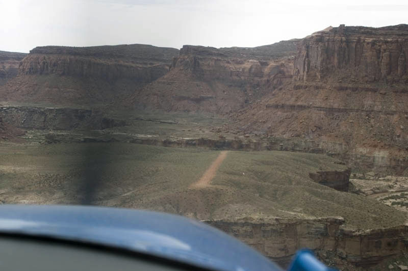
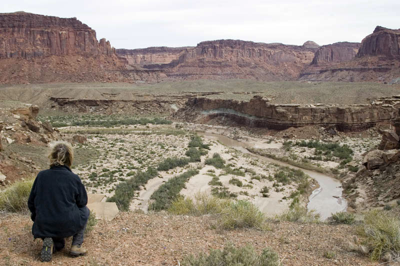
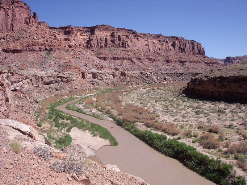
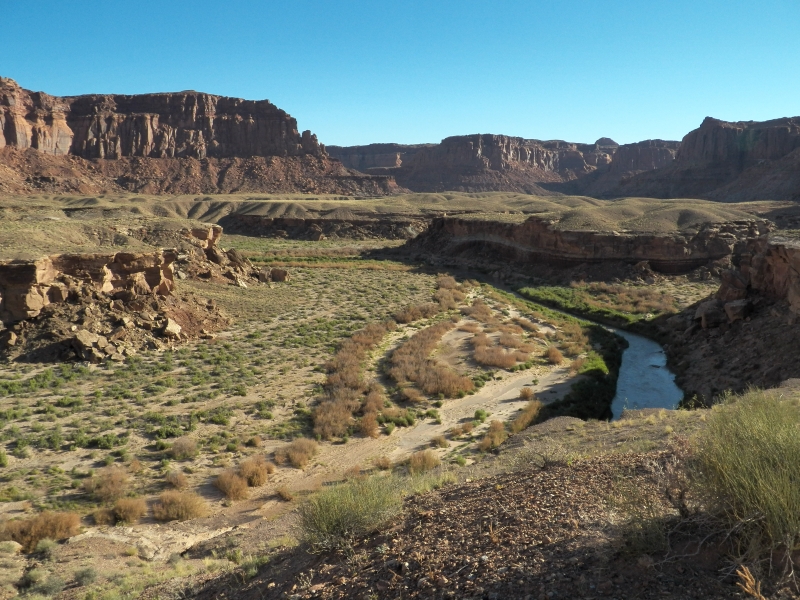
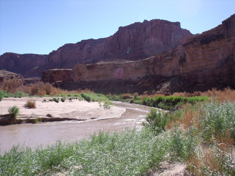
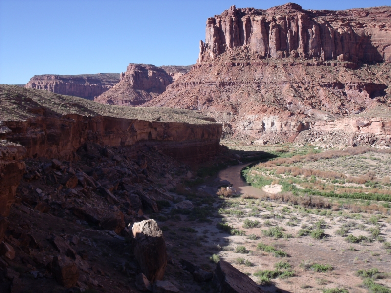
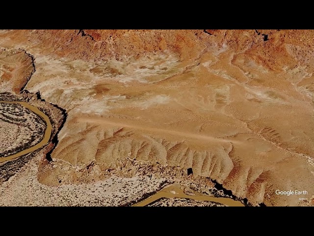
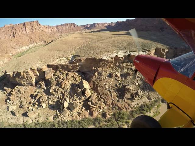
The airstrip sits atop a raised, flat-topped mesa immediately east of the Dirty Devil River in central Utah, within the rugged canyon country between Capitol Reef National Park and Canyonlands. It serves as essentially the only practical air access into this stretch of the Dirty Devil River corridor, a remote and little-visited desert region.
Camping & Recreation
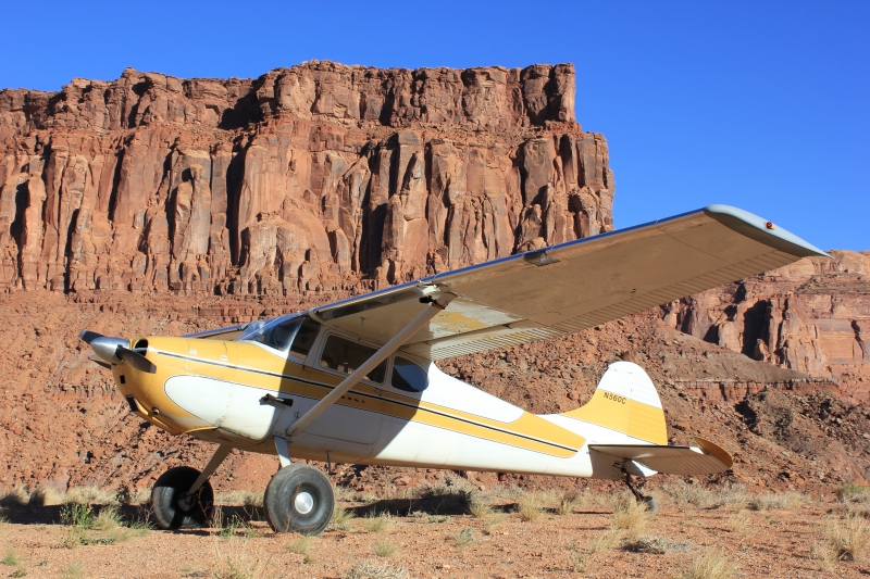
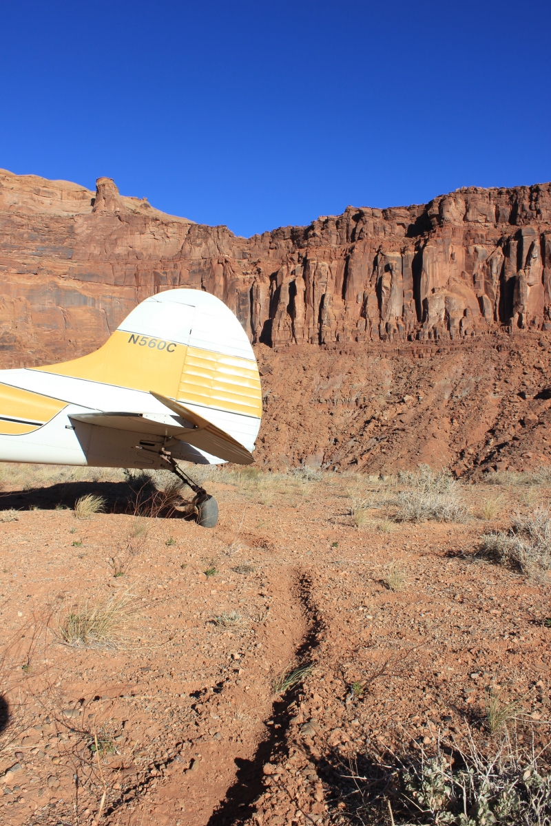
Camping at the strip is considered a memorable experience, with red rock cliffs that glow at dawn and sunset since the site sits on a shelf within a canyon, along with notably dark skies for stargazing. There are no formal amenities on site, so it's a true backcountry camp — pilots should watch for cactus and thorny brush when picking a tent spot. The surrounding river corridor also offers access for hiking and desert exploration, though the area remains largely undeveloped and seldom visited.
Notes & Warnings
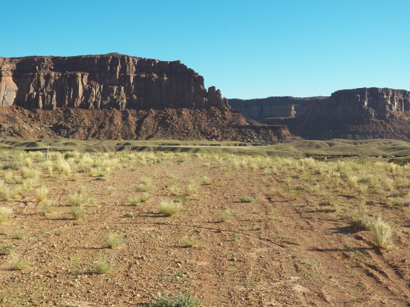
The runway is a short 1,200 feet long by 18 feet wide, running the full length of the mesa, with no safety overruns at either end, and the surface can turn soft at certain times of year — particularly the first hundred feet of the landing area. Pilots are generally advised to land to the north and depart to the south due to a slight uphill grade. There are no facilities, and the parking area at the northwest end can only fit two to three airplanes. A windsock is present, but cacti tend to grow around it. As with all backcountry strips, conditions should be personally verified before landing, since suitability depends heavily on aircraft type, pilot skill, and current weather/surface conditions.
History
Detailed historical records for the Dirty Devil airstrip are sparse — no formal written history has been documented for the site. What's known comes largely from the backcountry flying community: the strip has long been a favorite among Utah bush pilots for its dramatic scenery and its role as a gateway to the otherwise nearly inaccessible Dirty Devil River canyon, alongside nearby strips like Poison Spring and Hite that served similar river-access purposes for pilots, hikers, and river runners exploring this remote pocket of the Colorado Plateau.
Runway
-
Length
1279
-
Width
30
-
Surface
SAND
Details
-
Facility ID
No ID 019
-
Elevation
4153
-
CTAF
122.9
Gallery

Location
Lat: 38.172405, Long: -110.445448 - UTAH, USA



Add a review