
Description
Location Overview
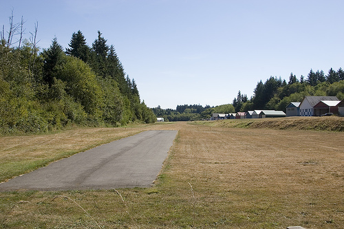
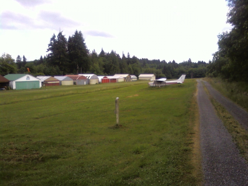
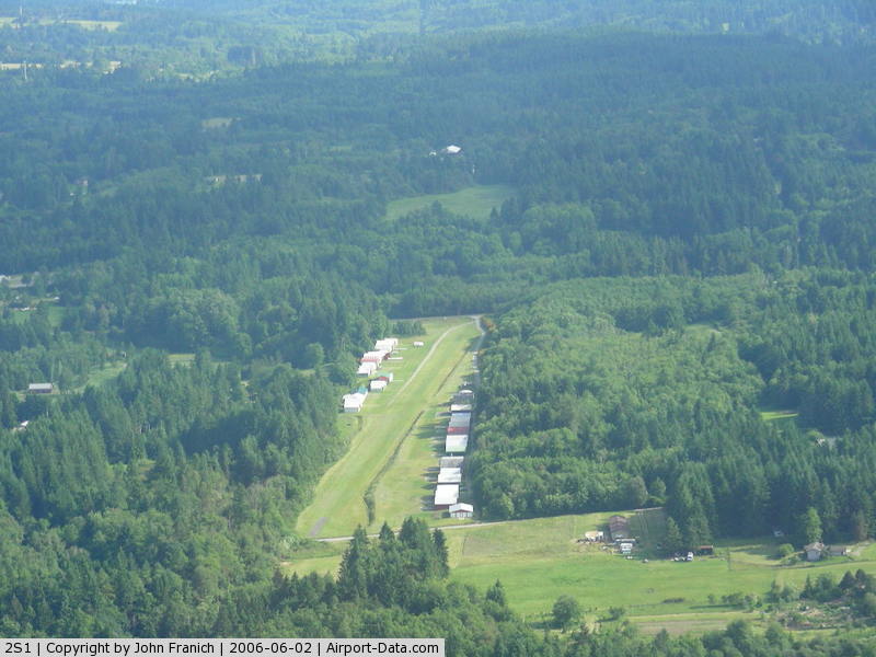
Vashon Municipal Airport sits about a mile northwest of the town of Vashon, on Vashon Island in Puget Sound, King County, Washington. It covers roughly 20 acres at an elevation of 316 feet above mean sea level, and it's one of the few public airports in Washington with only a grass runway — a single turf strip, 17/35, with a small turf helipad alongside it. It's a quiet, unattended field surrounded by trees and rural island terrain, a short drive from downtown Vashon and the island's ferry docks to Seattle and the Kitsap Peninsula.
Camping & Recreation
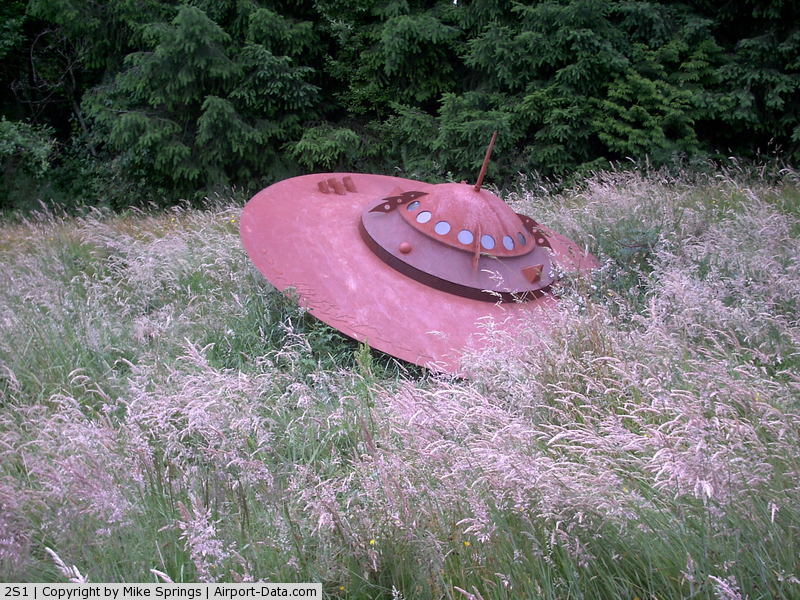
There are no camping facilities on the airport property itself — it's a small, unattended general aviation strip with no services. That said, Vashon Island offers plenty nearby: the Vashon Park District maintains a couple of primitive, walk-in/paddle-in campsites at Point Robinson and Lisabeula, and several private "Hipcamp" farm stays and campgrounds dot the island for tent and RV camping. Beyond camping, visitors can explore the island's beaches, hiking trails, farms, wineries, and the Vashon-Maury Island Heritage Museum, or simply enjoy the aerial views of Puget Sound and the Olympic and Cascade mountains on the way in. The airport grounds also feature a small sculpture commemorating a 1968 local UFO sighting — a quirky bit of island flavor for visiting pilots.
Notes & Warnings
This is a strictly VFR, pilot-beware field. Night operations are recommended only for pilots already familiar with the airport's close-in obstructions in all quadrants. Right-hand traffic is used for runway 17, the field is unattended, and touch-and-go landings are not recommended due to turbulence near the runway's north end, especially in crosswinds. Noise abatement procedures call for a straight-ahead climb to 700 feet AGL, and there's no fuel available on-site, so plan accordingly. Pilots are encouraged to call ahead for current field conditions before flying in, since the turf surface can be affected by rain and seasonal wear.
History
Vashon Municipal Airport began operations in 1946 and remains the only public airport on the island, serving both general aviation and life-flight medical transport. It's publicly owned but privately maintained, governed by three elected members of the King County Airport District — a distinctly community-run arrangement that keeps the small grass field in local hands. Over the decades it has stayed true to its rural roots, hosting a modest number of based single-engine aircraft and light operations rather than commercial traffic, with charter flights available through Vashon Island Air for those without their own aircraft. Its enduring turf runway and hands-on local governance make it something of a living relic of mid-century general aviation in the Puget Sound region.
Runway
-
Length
2001
-
Width
60
-
Surface
TURF-G
All Runways
| Identifier | Length | Width | Surface |
| 17/35 | 2001 | 60 | TURF-G |
| H1 | 98 | 98 | TURF |
Details
-
Facility ID
2S1
-
Elevation
316
-
CTAF
122.9
Gallery
Location
Lat: 47.458842, Long: -122.476994 - WASHINGTON, USA

Add a review