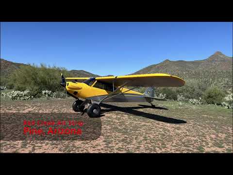
Description
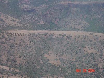
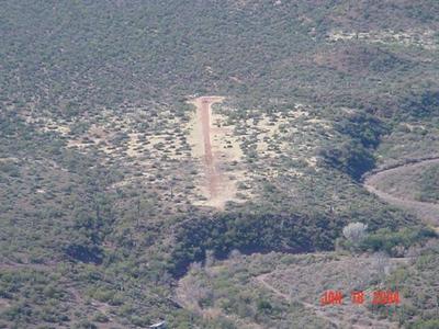
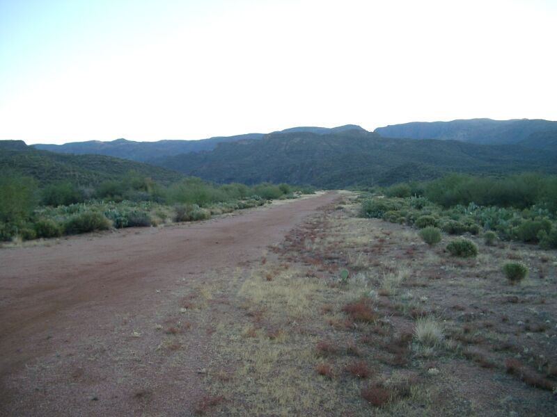
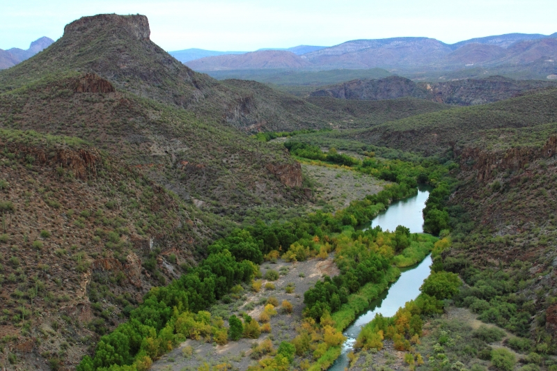
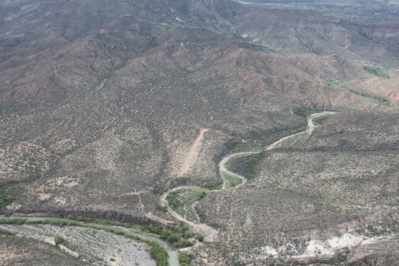
This airstrip is located along the Verde River in the Tonto National Forest.
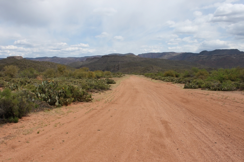
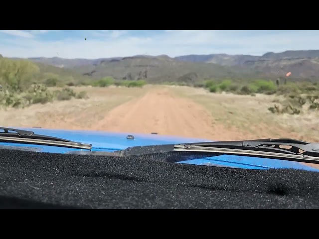
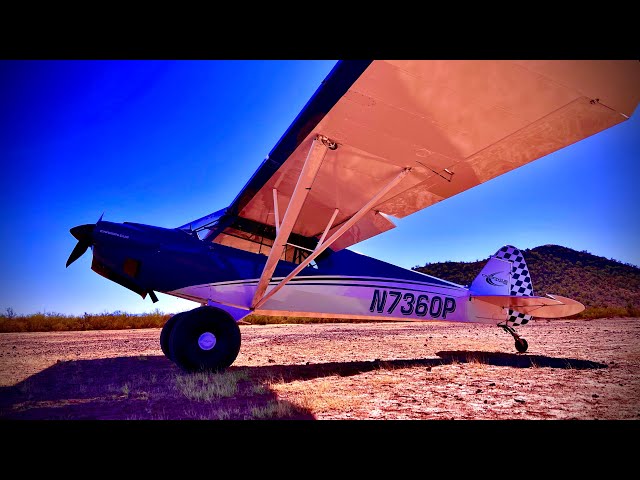
The airstrip presents numerous challenging characteristics that pilots must consider. The surface conditions vary significantly between hard and soft areas, and the runway itself is both short and narrow with various obstacles present. Ruts and debris are scattered across the surface, creating additional hazards. The runway measures 1200 feet in length with a 1.3% slope, featuring a 15-foot rise toward the western end. Crosswinds are common in this location, and pilots should be aware of potential downdrafts. Access is limited, with only one way in and one way out, and departures typically involve tail winds. Critical density altitude issues can affect aircraft performance, particularly during warmer conditions. Communication capabilities are limited, with no cellular service available in the area. Large birds frequent the vicinity, and wildlife is often present on the runway itself, requiring constant vigilance. Emergency vehicle access is not available at this location. Pilots should also note that practice area traffic operates to the south on frequency 122.75.
Runway
-
Length
1200
-
Width
40
-
Surface
DIRT
Details
-
Facility ID
No ID 034
-
Elevation
2400
-
CTAF
122.9
-
State
Arizona
Gallery

Location
Lat: 34.15983000000 , Long: -111.72743800000 - ARIZONA, USA


Add a review