Description
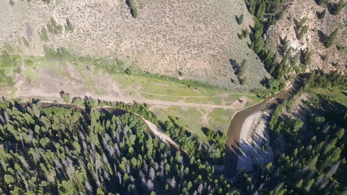
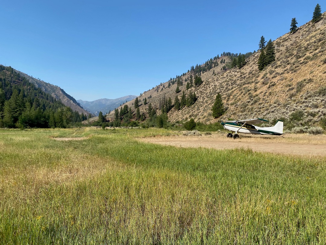
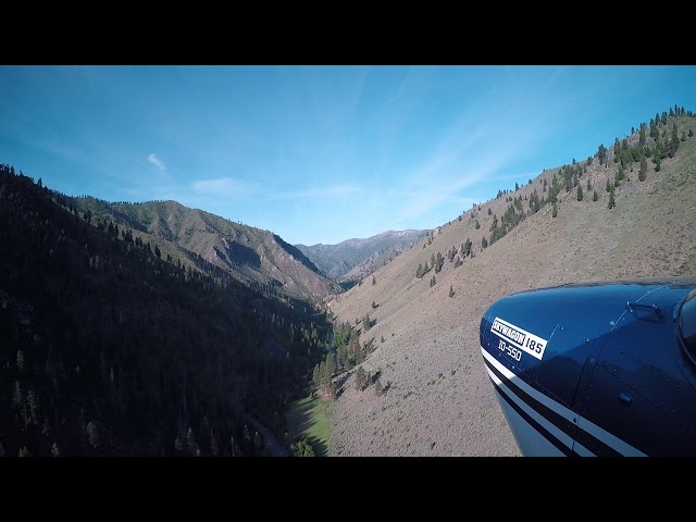
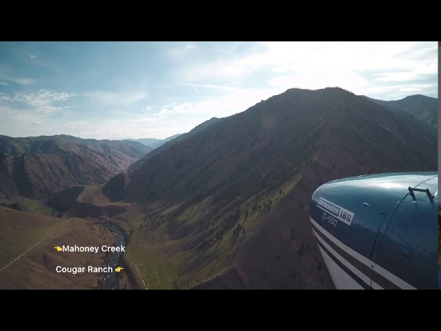
The airstrip sits along Marble Creek, approximately 2.5 miles from the Middle Fork of the Salmon River. The runway surface is turf/dirt and is frequently rough, with tall grass a common issue. The site remains a challenging destination due to the surrounding terrain and the way the natural canyon floor grasses effectively hide the runway. The absence of boundary markers compounds this difficulty, making the landing surface hard to distinguish from the air. Any pilot unfamiliar with the area who needed to make an emergency landing here would likely struggle to identify the strip from altitude.
The main tiedown area is near runway 04.
Aside from an outhouse on the north side of the airstrip and a tractor with a scraper box and roller parked near the aircraft parking area, the site offers no other amenities — no signs, no fire rings, nothing beyond the bare essentials of a very basic backcountry airstrip.
Runway
-
Identifer
4/22
-
Length
1160
-
Width
20
-
Surface
Dirt
Details
-
Facility ID
ID8
-
Elevation
4662
-
CTAF
122.9
-
State
Idaho
Gallery
Location
Lat: 44.773472, Long: -114.985278 - Idaho, USA


Add a review