Description
Location Overview
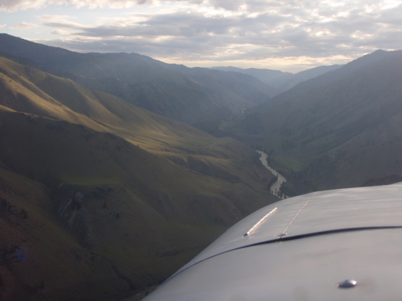
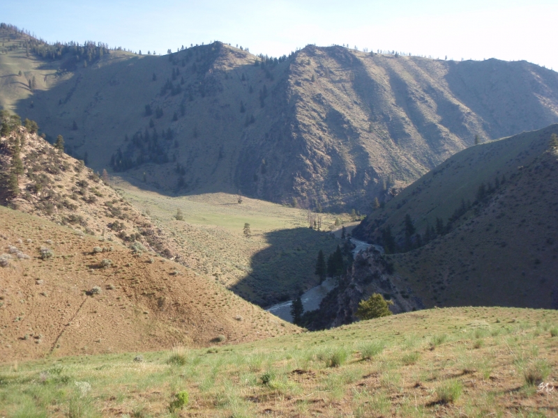
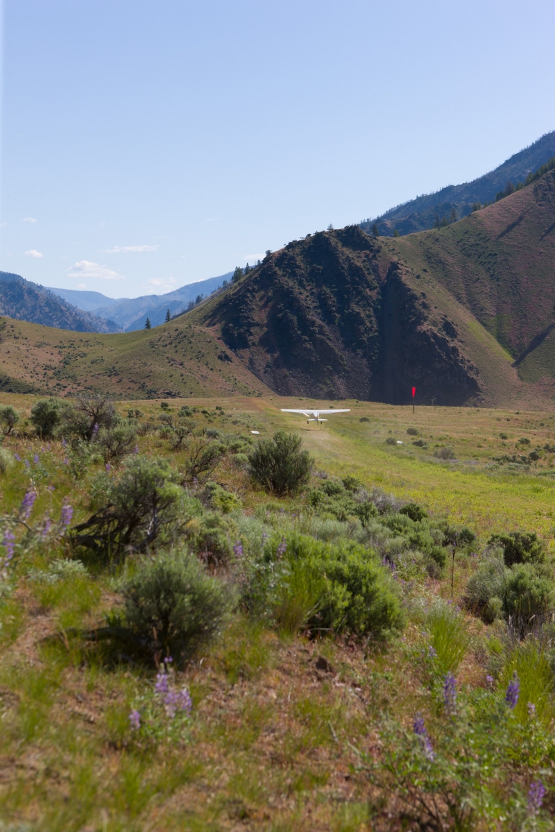
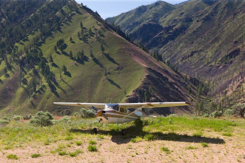
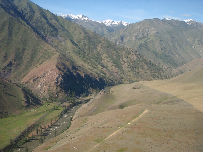
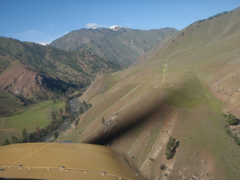
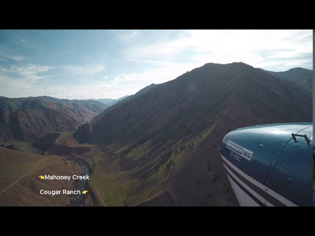
Mahoney Airstrip sits on a bluff nearly 400 feet above the Middle Fork of the Salmon River, about 2 miles southeast of Mahoney Creek, Idaho, at a surveyed elevation of 4,618 feet MSL. It lies within one of Idaho's most beautiful valleys, just a short hop from Thomas Creek and Indian Creek airstrips, and is only about 20 minutes by air from the well-known Johnson Creek Airport (3U2) to the northwest. The strip falls within the Salmon-Challis National Forest and is surrounded by the dramatic terrain of the Frank Church–River of No Return Wilderness.
Camping & Recreation
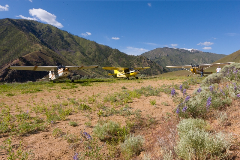
There are no camping facilities at the airstrip itself. However, the surrounding wilderness is a world-class destination — the Middle Fork of the Salmon River below is legendary for whitewater rafting and kayaking, and the broader Frank Church Wilderness offers exceptional hiking and wildlife viewing. Nearby airstrips like Indian Creek have camping adjacent to the runway and access to river launch sites, making Mahoney a natural waypoint in a larger backcountry flying itinerary.
Notes & Warnings
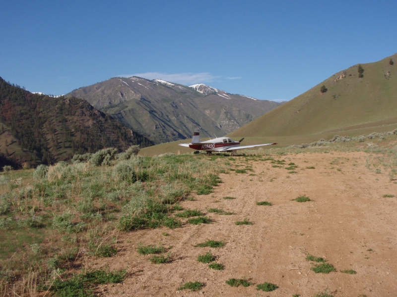
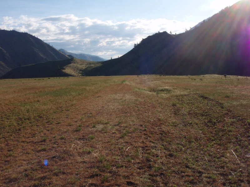
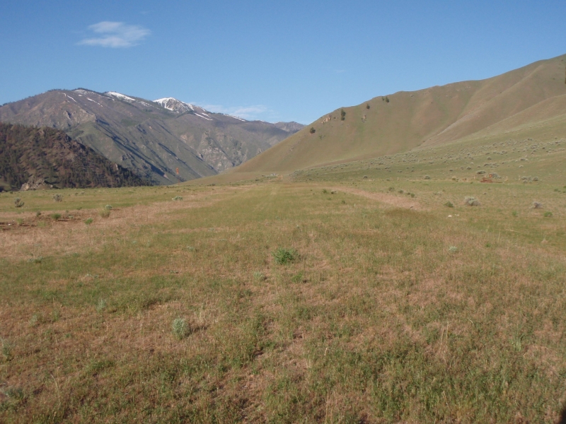
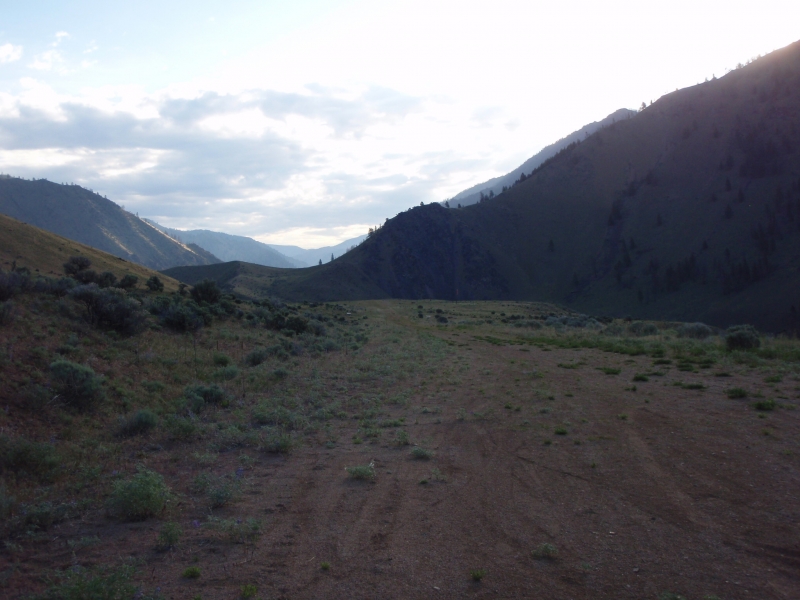
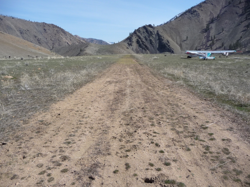
Landing on Runway 22 is recommended, with takeoff on Runway 04 preferred when wind conditions allow. No winter maintenance is performed. A one-foot ditch runs along both edges of the runway, and the first 400 feet adjacent to Runway 22 features deep elk wallows — some measuring 8 by 10 feet and up to 2 feet deep — just outside the boundary markers on both sides. The dirt surface is susceptible to damage from big game animals. Parking is tight; the south end can accommodate no more than two aircraft temporarily. A windsock and segmented circle are present, but user facilities are otherwise nonexistent. Contact Salt Lake ARTCC for clearance delivery.
History
Mahoney Creek is one of many backcountry airstrips that were developed across central Idaho during the mid-20th century to support U.S. Forest Service operations, fire suppression efforts, and access to the remote river corridors of the Salmon-Challis National Forest. Like most strips in the region, it was carved out of the rugged terrain to serve USFS personnel working in an area with no roads and little outside access. Today it is maintained jointly by the Salmon-Challis National Forest and Idaho Aviation Association work parties, keeping it open as part of a broader network of backcountry airstrips that define Idaho's unique general aviation heritage. The nearby Cougar Ranch Airfield (D47), visible just across the river on the opposite bank, was a much more recent addition, having been established only in 2019.
Runway
-
Length
2150
-
Width
15
-
Surface
DIRT-F
Details
-
Facility ID
0U3
-
Elevation
4618
-
CTAF
122.9
Gallery


Location
Lat: 44.74458333333 , Long: -114.92138888889 - IDAHO, USA


Add a review