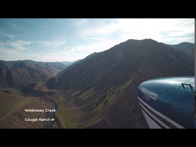
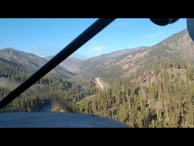
Description
great
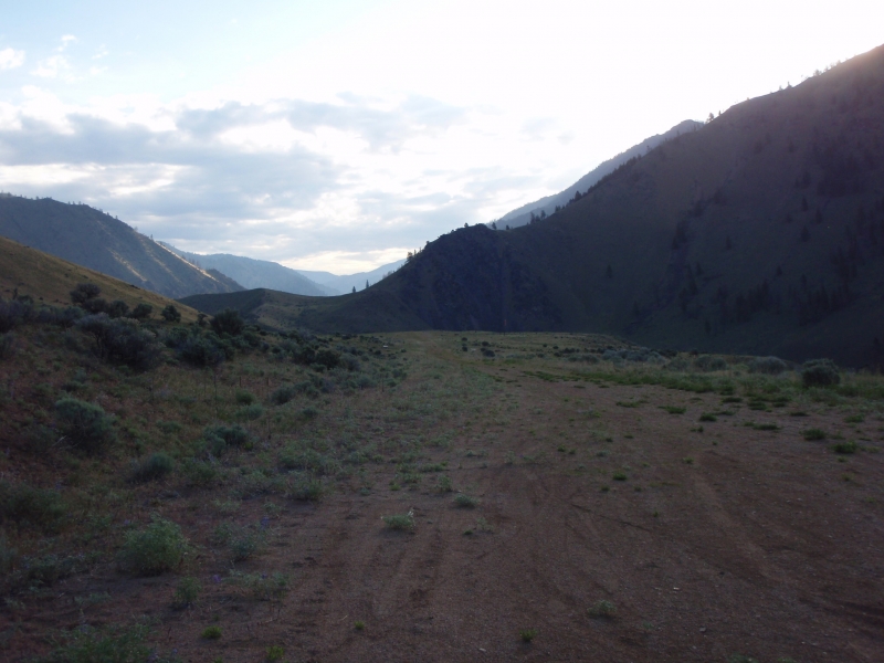
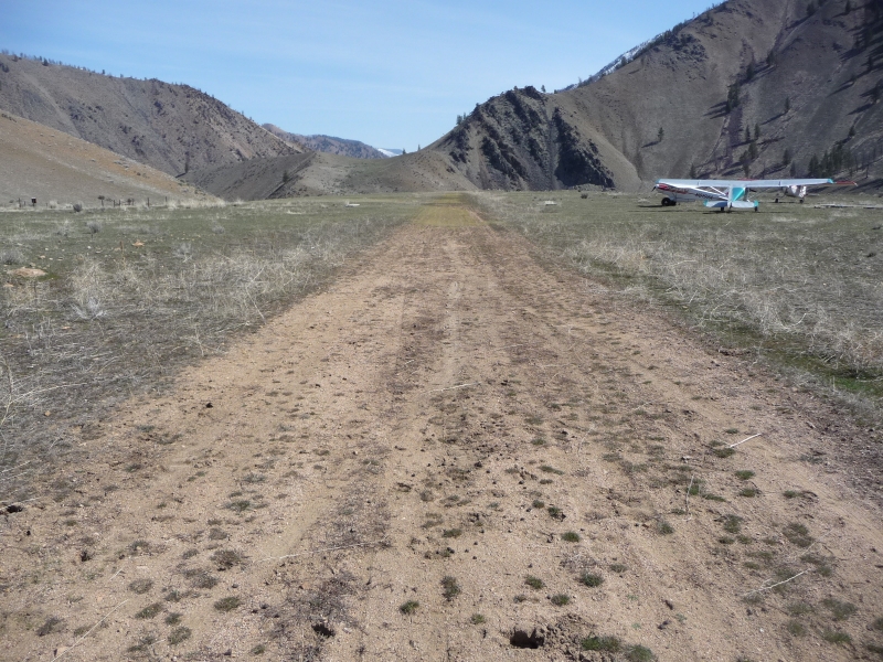
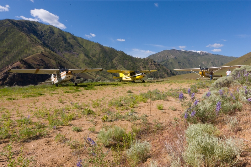
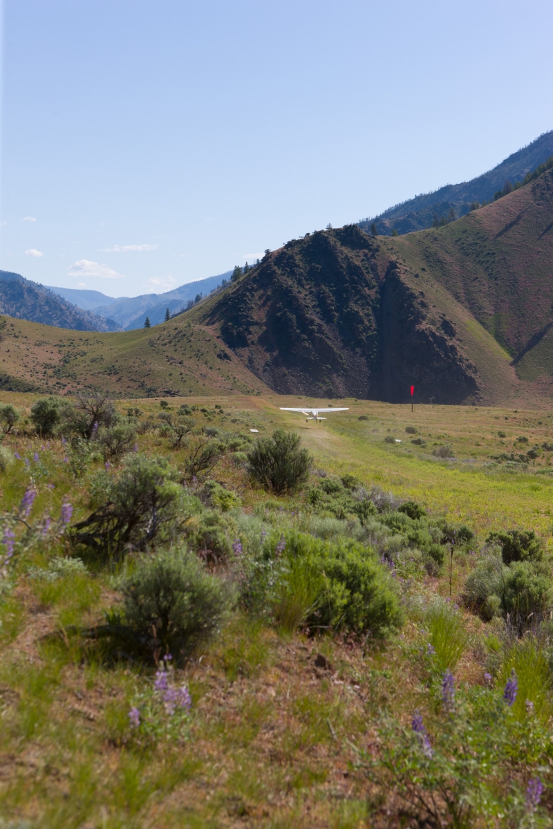
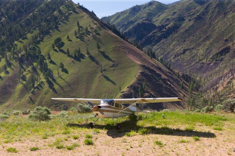
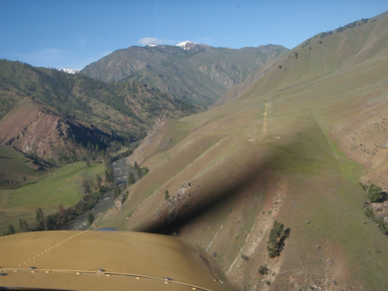
Runway
-
Length
2150
-
Width
15
-
Surface
DIRT-F
Details
-
Facility ID
0U3
-
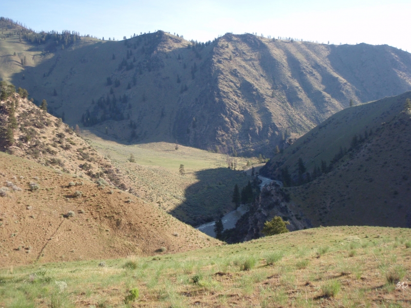
Elevation
4618
-
CTAF
122.9
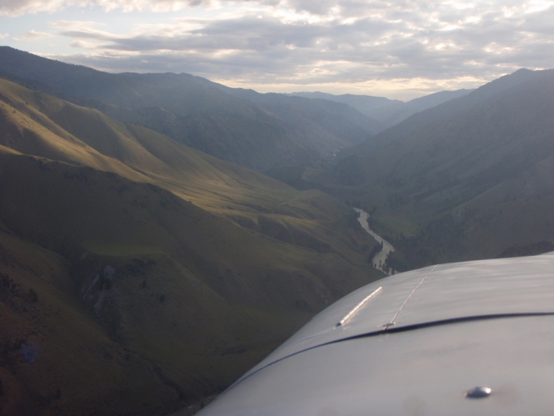
Gallery
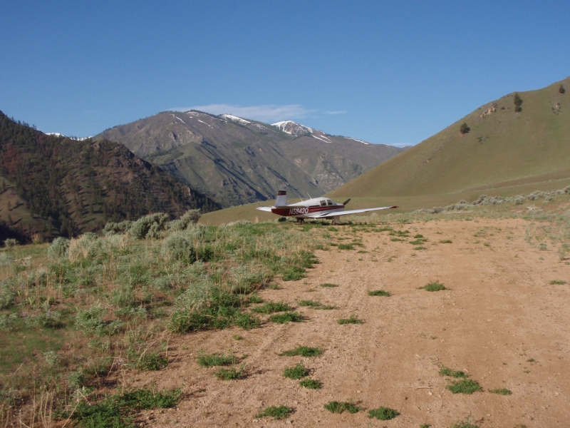
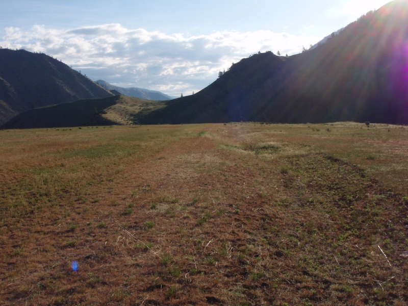
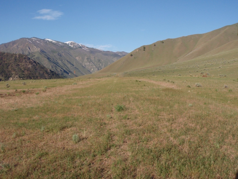


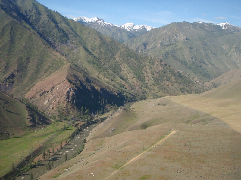
Location
Lat: 44.74458333333 , Long: -114.92138888889 - IDAHO, USA


Add a review