Description
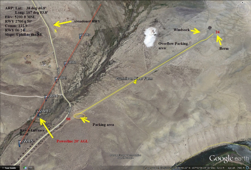
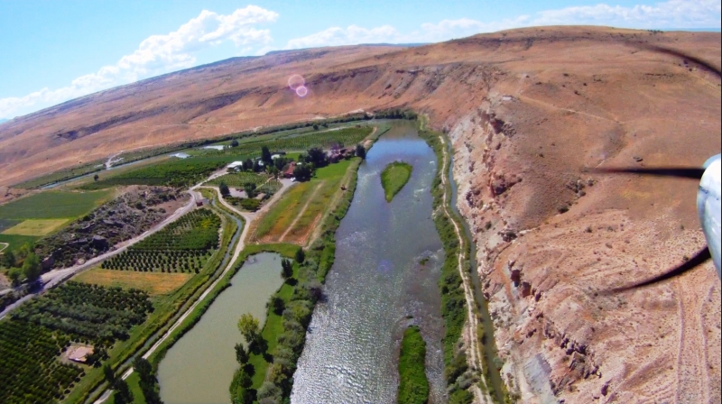
Private Airstrip in support of the lodge and Black Canyon Anglers. Visit the following link for complete write-up and details for Gunnison River Farms: http://www.flycolorado.org/index.php/airstrip-database/private-airports/gunnison-river-farms/
Note: Gunnison River Farms is open to pilots with an advance
reservation for either a meal at the lodge, a stay at the cabins, or a
scheduled trip with Black Canyon Anglers.
Runway
-
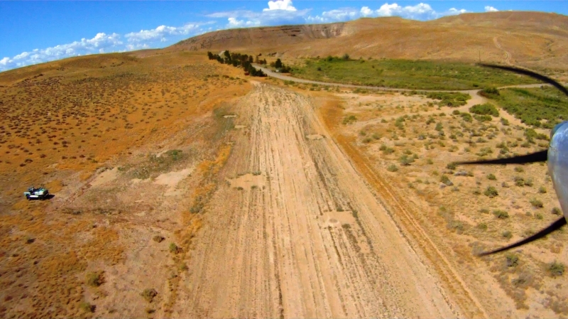
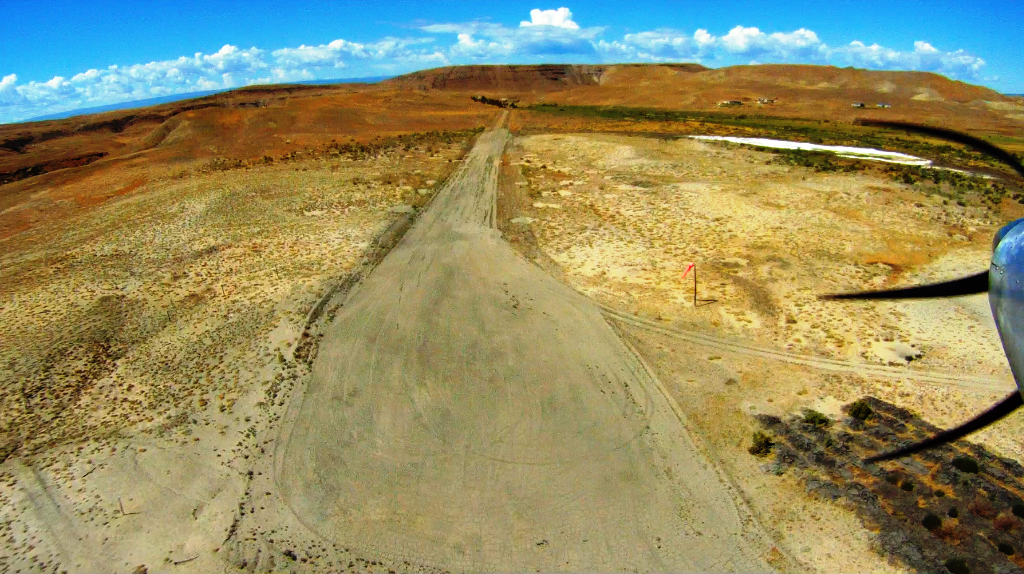
Length
2700
-
Width
50
-
Surface
DIRT
Details
-
Facility ID
new
-
Elevation
5200
-
CTAF
122.9
-
State
CO
Gallery
Location
Lat: 38.78009026273 , Long: -107.90013650120 - , USA


Add a review