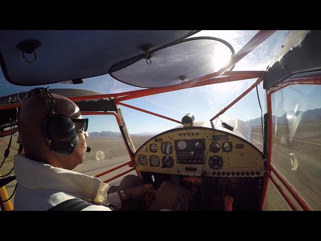
Sign in or Register
    • Featured
    • Recreational
    • Restricted
    • Off-Airport
    • Abandoned
    • Outpost
    • Home
    • Explore
    • Shop

    DENIO JUNCTION, NV

    • Overview
    • Reviews / PIREPs 0
    • Events
    • Videos
    • prev
    • next
    • Bookmark
    • Share
    • Leave a Review / PIREP
    • Report
    • prev
    • next
    Description

    denio is a public dirt airfield with hotel and fuel

    Runway
    • Length

      3430

    • Width

      90

    • Surface

      DIRT-F

    All Runways
    Identifier Length Width Surface
    02/20 3320 42 DIRT-F
    07/25 3100 100 DIRT-F
    13/31 3430 90 DIRT-F
    Details
    • Facility ID

      E85

    • Elevation

      4202

    • CTAF

      122.9

    • State

      NV

    Location

    Lat: 41.95406250000 , Long: -118.63100638889 - NEVADA, USA

    Get Directions
    Categories
    • Recreational
    Tags
    • Mountains
    • Desert
    Region
    • Western Pacific
    Ownership
    • Public
    Author
    shortfield
    mood_bad
  • No comments yet.
  • Add a review

    Leave a Reply · Cancel reply

    You must be logged in to post a comment.

    Related Videos
    Prev 1 of 3 Next
    • Landing & taking off from Denio Junction in my Savannah

      Landing & taking off from Denio Junction in my Savannah

      Too bad they where out of gas :(
    • B-24 CRASH SITE DENIO, NEVADA JUNE 2013

      B-24 CRASH SITE DENIO, NEVADA JUNE 2013

      This was a major highlight of a 6 day, 1100mile Dual Sport Adventure ride, camping under the stars each night in the deserts of Nevada and Oregon.
    • Oregon Outback III - Denio Junction

      Oregon Outback III - Denio Junction

      After cruising through the Alvord Desert we settled down in Denio Junction Nevada to see if we could ride up to the crash site of a B-24 Liberator from back in WWII. The crash site is about 15 miles from the airport up in the Pueblo Mountains on the Oregon side of the border. There is about 4000 ft of climbing to get there.
    • Carlin Tunnel on I-80 in Nevada

      Carlin Tunnel on I-80 in Nevada

      Interstate 80 Tunnel in Nevada. Footage taken in June 2020.
    • The Newbees - A Band & A Van | Season 1, Ep. 5: Alright, Alright

      The Newbees - A Band & A Van | Season 1, Ep. 5: Alright, Alright

      There is no better place to be socially distant than the Silver Island Range in Utah. With a generator hidden behind a boulder, a mic hanging from the review mirror and guitar amp in the back of our van, we begin recording some serious rock & roll.


      Destinations include Bonneville Salt Flats, UT; Wendover, UT; Denio Junction, NV and Sheldon National Wildlife Refuge, NV.

      *To support the Newbees A Band & A Van docuseries, send donations to:
      Venmo @newbeesband
      paypal.me/thenewbees

      *Subscribe to The Newbees on Youtube: https://www.youtube.com/thenewbees

      *Follow The Newbees Online:
      Instagram: https://www.instagram.com/newbeesband/
      Facebook: https://www.facebook.com/thenewbees
      tiktok.com/@newbeesband
      Twitter: https://twitter.com/newbeesband Website:
      Spotify: https://open.spotify.com/artist/0IXG33I2HiAzbO9Ya3rvBi
      Apple Music: https://itunes.apple.com/us/artist/the-newbees/id48796233
      https://www.thenewbees.com/


      #thenewbees #abandandavan #americanmusic #newmusic #travel #music #docuseries #musicdocumentary #documentary #newbees #newbies #Utah #Nevada #bonnevillesaltflats #wendover #deniojunction #sheldonnationalwildliferefuge #traveldocumentary #roadtrip
      #perholtz #bandvan #musicdocumentary #documentary #newbees #newbies


      "A Band & A Van" "A Band And A Van" "Newbees" "The Newbees"
    • One Amazing Planet

      One Amazing Planet

      A little something to occupy a few minutes of your time (well, about 45) as you may be stuck inside these days. It's entirely stills of some of my favorite landscape(ish) photos--not an overlanding rig one to be found. I have something else in work for the overlanding enthusiasts, but that will take a bit more time. Meanwhile, please enjoy this, and maybe even share it with your non-overlanding friends. I hope that you tell them, "Seeing sights like this is one of the reasons I go overlanding!"

      The video is carefully rendered in 4K, so I encourage you to watch it on an appropriate device--your living room TV, for example. There are a few images shot with older cameras (including some film) that have been upscaled as best as possible to 4K, so, please be kind in your remarks. :-)

      I've created subtitles for all of the images. The subtitles can be turned off or on with the CC option in the lower right corner. Recommend enjoy the shots with the subtitles off, but turn them on briefly if you wish to learn where an image was shot. Or, you could watch twice, once with the subtitles off to enjoy the show, the second time with a pad and paper and the subtitles on, noting where you'd like to take future trips.

      Chris Zabriskie wrote, produced and performed all of the music I used. I downloaded it from the YouTube Audio Library. It is licensed under a Creative Commons Attribution License:

      https://creativecommons.org/licenses/by/4.0/
      Source: http://chriszabriskie.com
      Artist: http://chriszabriskie.com

      The music is what I'd call new age. It includes:

      "I Want to Fall in Love on Snapchat"
      "Mario Bava Sleeps In a Little Later Than He Expected To"
      "The Life and Death of a Certain K Zabriskie Patriarch"
      "Divider"
      "There Are Many Different Kinds of Love"
      "I Don't See the Branches, I See the Leaves"
      "Prelude No 20"

      If that's not to your liking, well, just turn it down and start your own playing. There is no audio to this video other than the music, so you won't miss anything (except some relaxing music). It's not necessary to share in the comments that you don't like my musical choices. It's neither surprising nor really much of a concern to me. To each their own--just one more thing that makes this ... One Amazing Planet.

      Please enjoy and stay safe.
    • NVfirehazardcommunities.wmv

      NVfirehazardcommunities.wmv

      These Nevada communities have extreme fire risk ratings based on the following factors: slope of the landscape, high wind areas, dense and dry vegetation, accessibility by fire fighters, availability of qualified fire fighters for quick response, availability of water and other fire fighting resources, high traffic....etc...
      I attempted to tag the communities but something was missing...this is the list of communities in the order that they appear:
      Hollbrook Junction, Douglas County, 89410
      Fort McDermitt, Humboldt County, 89421
      Trout Canyon, Clark County, 89124
      Manhattan, Nye County, 89022
      Rancho Haven, Washoe County, 89508
      Kyle Canyon, Clark County, 89149
      Lakeview, Carson City County, 89703
    • Landing at Eureka

      Landing at Eureka

    • Landing @ Flying M Ranch from the

      Landing @ Flying M Ranch from the "wrong" direction...

      Landing the wrong way taking off the right way....... in an ICP Savannah

      oh yeah don't forget about the STICKY BUNS!!!!

      mmmmmm...
    • KCVO in the snow

      KCVO in the snow

      Here's another boring flying video! Its of flying around KCVO in the snow on January 16th, 2012.

      Taking off 17, a couple of steep turns, landing 17.

      In a CE-152 N46439
    • Siete de Mayo (STOL party!!)

      Siete de Mayo (STOL party!!)

      Forgot about Cinco de Mayo, so I had my own party two days later.
    • Schmitz House Take-Off

      Schmitz House Take-Off

      Dropping in on some friends to go carp hunting!

      DISCLAIMER: my friend has a potty mouth
    Prev 1 of 3 Next

    You May Also Be Interested In

    Field Station, OR

    Land on the road and taxi up to the fuel pumps, or stop and get some food and use the bathroom! The runway is…
    • 42.26858239933, -118.67374308810
    • Recreational

    ALVORD DESERT, OR

    Located in southeastern Oregon, the Alvord Desert is a dry lake bed (playa) that can be landed on in the…
    • 42.5, -118.45
    • Off-Airport

    Wool Lake, OR

    A dry lake bed. Anyone know what the status of this location is?
    • 42.313493515936, -119.65174795114
    • Off-Airport

    © 2000-2021 shortfield.com

    Cart

      • Featured
      • Recreational
      • Restricted
      • Off-Airport
      • Abandoned
      • Outpost
      • Facebook
      • Twitter
      • WhatsApp
      • Telegram
      • LinkedIn
      • Tumblr
      • VKontakte
      • Mail
      • Copy link