Description
Location Overview
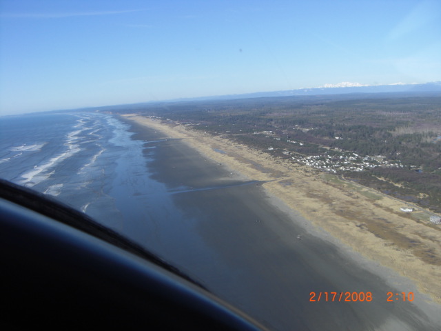
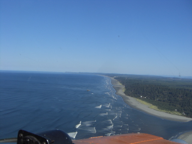
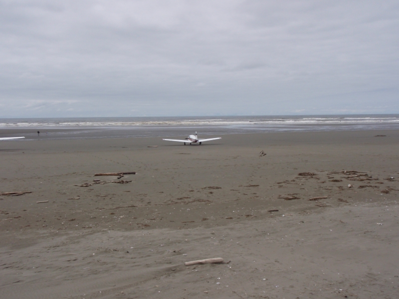
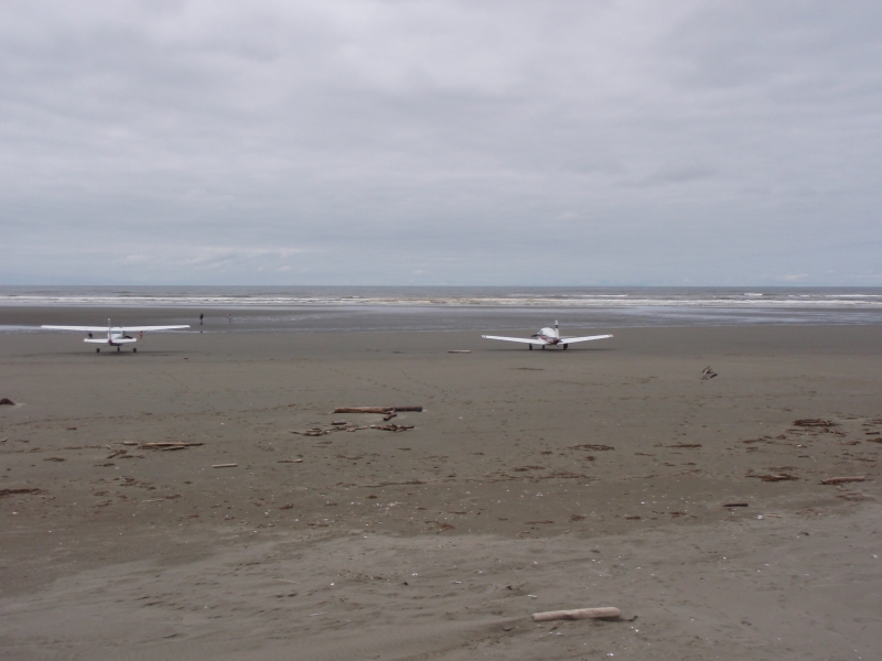
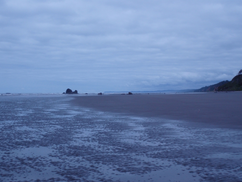
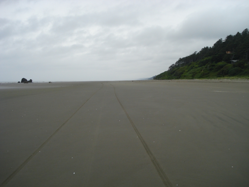
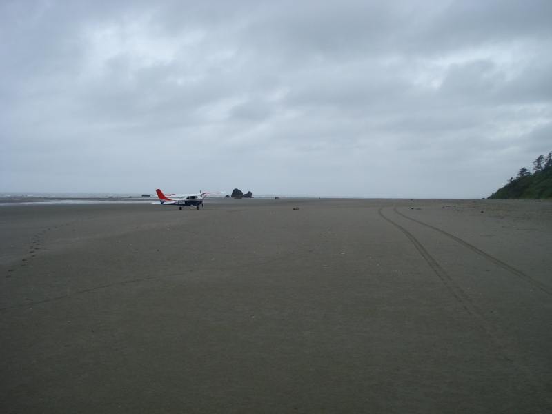
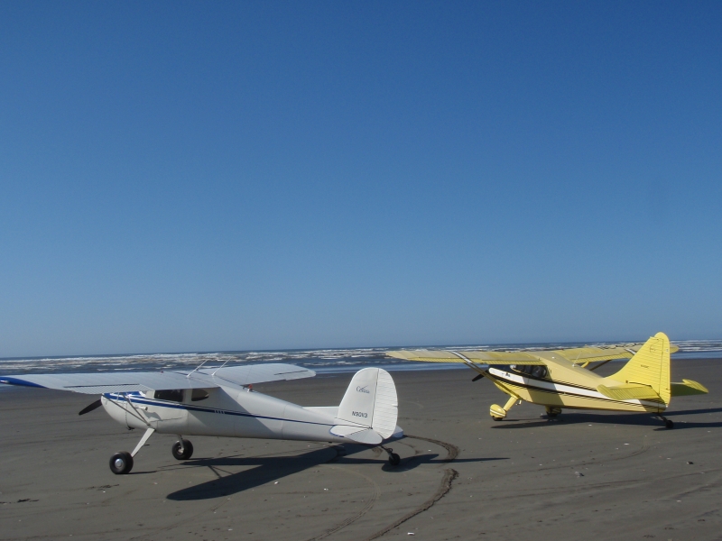
Copalis State Airport (FAA identifier S16) sits directly on the open sand of the Pacific coast in Grays Harbor County, Washington, within the North Beach Seashore Conservation Area and adjacent to the Olympic Coast National Marine Sanctuary. The runway is a stretch of ocean beach from the Copalis River on the south to the rocks a mile north, with no pavement, terminal, or fuel — just open sand bordered by surf on one side and dunes on the other.
Camping & Recreation
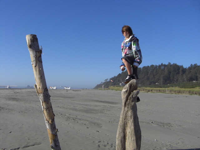
There are no overnight facilities for pilots, and aircraft cannot be left on the beach overnight due to tides — no overnight camping is allowed at the airport. That said, the surrounding stretch of coast is a popular recreation area: visitors come for sights of the Pacific Ocean, clam digging, surfing, fishing, or beachcombing, and razor clamming season in particular draws crowds who share the beach with arriving planes. Nearby state parks and the town of Copalis Beach offer lodging, camping, and other amenities a short drive from the strip itself.
Notes & Warnings
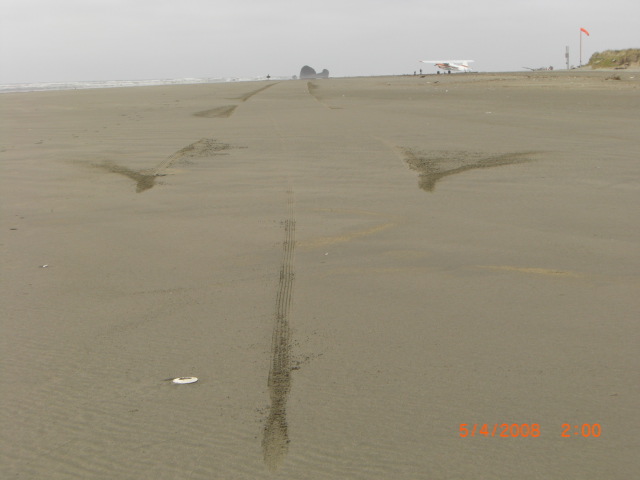
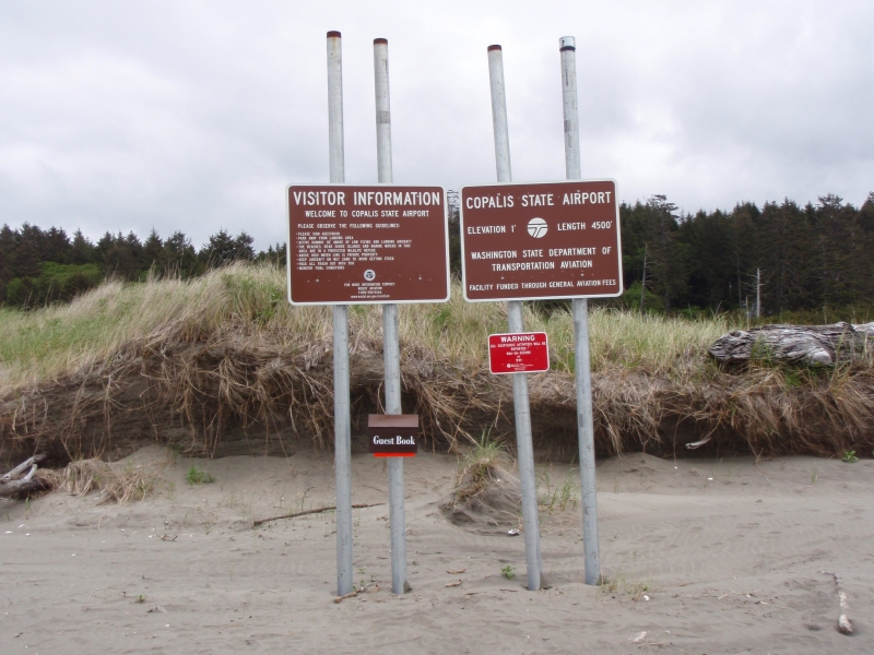
This is not a casual fly-in. The runway is only available during low tide, and pilots must check tide tables closely before planning a landing — high tide submerges the entire strip daily. Ongoing river migration and beach erosion have reduced the original 4,500-by-150-foot runway by roughly 1,100 feet. The beach is a shared, uncontrolled environment: pilots should expect cars, clam diggers, driftwood, and pedestrians on the runway area, and are asked to "fly friendly," avoid nuisance behavior, and watch for debris, dead wildlife, and exposed intertidal rocks. Because the strip sits inside a marine sanctuary, operators should be aware of increased bird activity and airspace restrictions, and should check applicable charts for overflight guidance. Vehicle access to portions of the beach is closed from April 15 through Labor Day except by special permission, and after Labor Day vehicles may again be present on the runway. The only infrastructure is end markers, a sign-in area, and a windsock near mid-field, which are checked and replaced periodically due to harsh weather and salt corrosion.
History
Copalis has operated as a designated airstrip for decades, evolving from informal beach landings into one of sixteen airports the Washington State Department of Transportation now manages. It's been recognized as one of the most unusual airports in the world by outlets like Popular Mechanics, largely because the runway is submerged by the tide every single day — a quirk that makes it functionally unlike any other public-use airport in the country. In nearly four decades of FAA-approved activity, the airport has recorded only two accidents, in 1989 and 1995, both during landing — a notably safe record given the unconventional conditions. Today it sees roughly 200 aircraft operations a year, prized by pilots as a bucket-list destination and by the local community as a draw for tourism tied to events like the nearby Moclips Kite Festival, all while remaining genuinely useful for emergency landings and access to a remote stretch of coastline.
Runway
-
Length
4500
-
Width
150
-
Surface
SAND-F
Details
-
Facility ID
S16
-
Elevation
1
-
CTAF
122.9
Gallery

Location
Lat: 47.12480750000 , Long: -124.18462111111 - WASHINGTON, USA


Add a review