Sign in or Register
    • Featured
    • Recreational
    • Restricted
    • Off-Airport
    • Abandoned
    • Outpost
    • Home
    • Explore
    • Shop

    BIG CREEK, ID

    • Overview
    • Reviews / PIREPs 0
    • Events
    • Videos
    • prev
    • next
    • Bookmark
    • Share
    • Leave a Review / PIREP
    • Report
    • prev
    • next
    Description

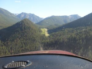
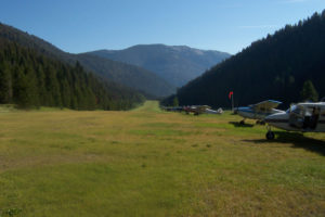
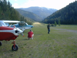
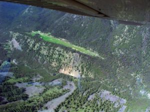
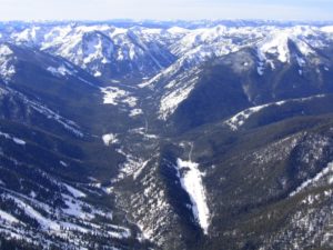
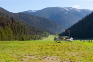
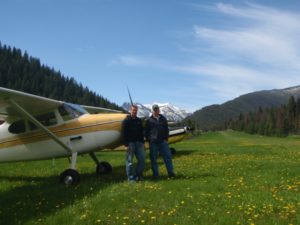
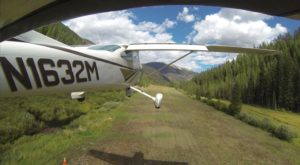
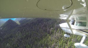
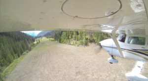
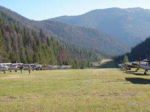
    This airstrip is located adjacent Big Creek, just west of the Frank Church River of No Return Wilderness.

    Camping:
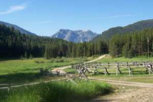
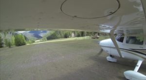
    The campground is developed, with a pit toilet, drinking water, stoves, and tables.  It is located in the shade of the trees and to the west of the runway.

    Meals 

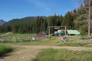
    Update: The main building complex at Big Creek Lodge was destroyed by fire in October, 2008. As of June 2015, the Idaho Aviation Foundation has received F.S. approval and a county building permit to reconstruct the lodge, and expects to start building in August. The IAF periodically holds fundraising breakfasts throughout the summer - check its website for schedules.

    When finished, the Big Creek Lodge, adjacent to the airstrip, will serve meals to fly-in customers during the summer.  It has long been a favorite breakfast fly-in destination for pilots.  You can land early in the morning, eat breakfast, and be gone while the air is still calm, before the winds and turbulence come up.  

    Hiking

    The dirt road going south from the airstrip meets the Big Creek trail head about 2 miles south.  The Big Creek trail goes approximately 36 miles east to its confluence with the Middle Fork of the Salmon River.  It passes by the airstrips at Dewey Moore, Vines, Cabin Creek, and Soldier Bar.  Numerous trails connect to the Big Creek trail so there are many hiking/backpacking opportunities.  Rumor has it that the fishing is good along Big Creek.

    Runway
    • Length

      3550

    • Width

      110

    • Surface

      TURF-G

    Details
    • Facility ID

      U60

    • Elevation

      5743

    • CTAF

      122.9

    • State

      ID

    Gallery
    Location

    Lat: 45.13324305556 , Long: -115.32177888889 - IDAHO, USA

    Get Directions
    Categories
    • Recreational
    Tags
    • Mountains
    Region
    • Northwest Mountain
    Ownership
    • Public
    Author
    shortfield
    mood_bad
  • No comments yet.
  • Add a review

    Leave a Reply · Cancel reply

    You must be logged in to post a comment.

    YouTube Search
    The request cannot be completed because you have exceeded your quota.

    You May Also Be Interested In

    SIMONDS, ID

    Caution: Extremely difficult airstrip requiring the right airplane and ninja like flying chops. Simonds is a…
    • 45.08472222222, -115.12638888889
    • Recreational

    MONUMENTAL CREEK, ID

    Located just upstream from Simonds, this airstrip is probably a private facilty and should not be landed at…
    • 45.06830000000, -115.11800000000
    • Restricted

    YELLOW JACKET RANCH, ID

    • 45.15204904206, -115.56095623201
    • Restricted

    © 2000-2021 shortfield.com

    Cart

      • Featured
      • Recreational
      • Restricted
      • Off-Airport
      • Abandoned
      • Outpost
      • Facebook
      • Twitter
      • WhatsApp
      • Telegram
      • LinkedIn
      • Tumblr
      • VKontakte
      • Mail
      • Copy link