Sign in or Register
    • Featured
    • Recreational
    • Restricted
    • Off-Airport
    • Abandoned
    • Outpost
    • Home
    • Explore
    • Shop

    ALPINE-CASPARIS MUNI, TX

    • Overview
    • Reviews / PIREPs 0
    • Events
    • Videos
    • prev
    • next
    • Bookmark
    • Share
    • Leave a Review / PIREP
    • Report
    • prev
    • next
    Description

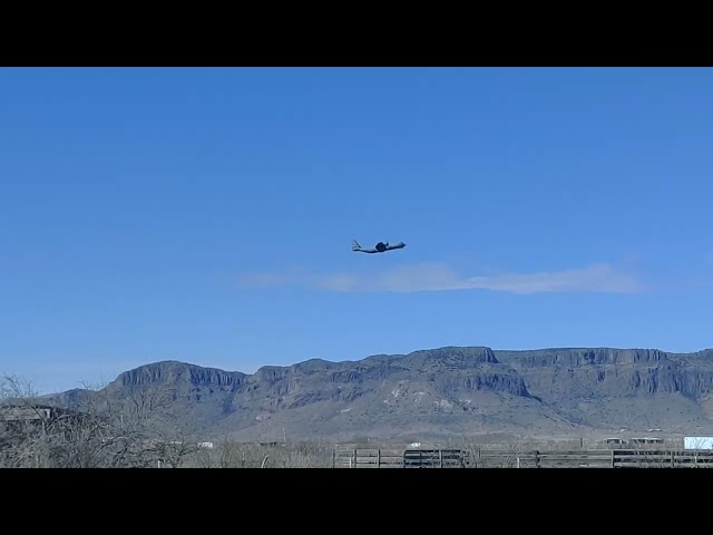
    Alpine is tucked in the Mountains (Texas sized - 8000') of the Big Bend area and is a fantastic showcase of the high desert of West Texas. The airport is located in a horseshoe shaped valey with high terrain surrounding it. It is a great little town with numerous outdoor activities in the surrounding area! A rental car can easily be obtained at a great rate from Alpine Auto Rental and brings the entire Big Bend area in to range for enjoyment!

    Runway
    • Length

      6002

    • Width

      75

    • Surface

      ASPH-G

    All Runways
    Identifier Length Width Surface
    01/19 6002 75 ASPH-G
    05/23 5018 60 ASPH-G
    Details
    • Facility ID

      E38

    • Elevation

      4514

    • CTAF

      122.9

    • State

      TX

    Location

    Lat: 30.38422222222 , Long: -103.68358333333 - TEXAS, USA

    Get Directions
    Categories
    • Recreational
    Tags
    • Mountains
    Region
    • Southwest
    Ownership
    • Public
    Author
    shortfield
    mood_bad
  • No comments yet.
  • Add a review

    Leave a Reply · Cancel reply

    You must be logged in to post a comment.

    YouTube Search
    Prev 1 of 1 Next
    • flying over Alpine Casparis airport

      flying over Alpine Casparis airport

    • Alpine–Casparis Municipal Airport Top  #6 Facts

      Alpine–Casparis Municipal Airport Top #6 Facts

    • Landing E38 Alpine, TX

      Landing E38 Alpine, TX

      Landing at E38 in Alpine, TX. Runway 23. In a Grumman Tiger
    • Flying a Mooney to E38 (Alpine, TX) with ATC Audio

      Flying a Mooney to E38 (Alpine, TX) with ATC Audio

      Approach and Landing at E38 (Alpine, TX) from LSB (Lordsburg, NM) in May, 2015. Approach: GPS 19, circle runway 1. For the best experience, turn audio and captions on.

      FlightAware Track: https://flightaware.com/live/flight/N9453V/history/20150511/2130Z/KLSB/E38

      Approach: http://155.178.201.160/d-tpp/1601/06295R19.PDF
    • Developing a Small Airport Economic Impact Estimator 0-7066

      Developing a Small Airport Economic Impact Estimator 0-7066

      The ability for general aviation airport officials in Texas to calculate their airport’s economic impact is now available anytime. Researchers with the Texas A&M Transportation Institute have developed a web-based tool that is on-line, easy to use, and provides immediate assessments.

      For more information on research project 0-7066, check out the TxDOT Research Library project record here:

      https://library.ctr.utexas.edu/Presto/content/Detail.aspx?ctID=UmVzZWFyY2gtaW4tUHJvZ3Jlc3NfMTExMjY%3D&rID=ODMx&ssid=c2NyZWVuSURfMTExODI%3D&bmdc=MQ==

      For access to all TxDOT research, please visit the TxDOT Research Library at https://ctr.utexas.edu/library/
    Prev 1 of 1 Next

    © 2000-2021 shortfield.com

    Cart

      • Featured
      • Recreational
      • Restricted
      • Off-Airport
      • Abandoned
      • Outpost
      • Facebook
      • Twitter
      • WhatsApp
      • Telegram
      • LinkedIn
      • Tumblr
      • VKontakte
      • Mail
      • Copy link