Sign in or Register
    • Featured
    • Recreational
    • Restricted
    • Off-Airport
    • Abandoned
    • Outpost
    • Home
    • Explore
    • STOL Gear

    THOMAS CREEK, ID

    A remote wilderness strip carved into the heart of the Frank Church, where the only way in is by air, river, or foot.

    • Overview
    • Reviews / PIREPs 0
    • Videos
    • Events
    • prev
    • next
    • Leave a Review / PIREP
    • Bookmark
    • Report
    • Share
    • prev
    • next
    Description

    Location Overview
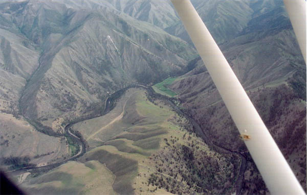
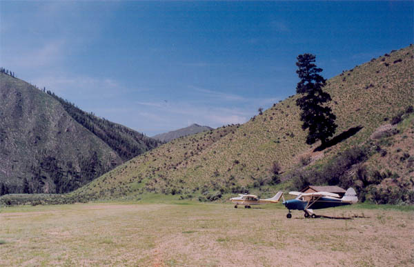
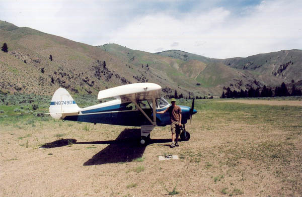
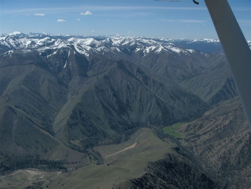
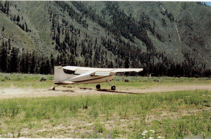
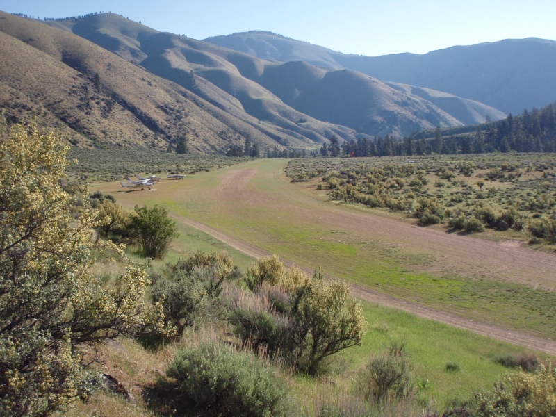
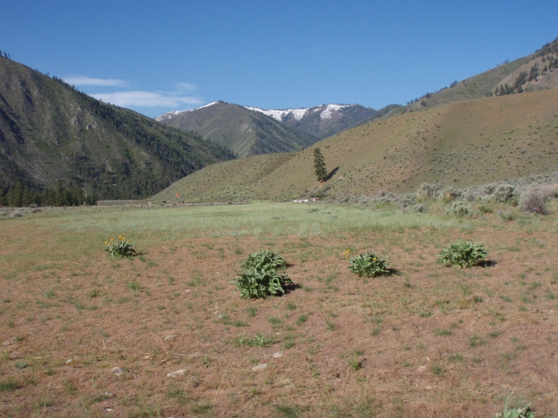
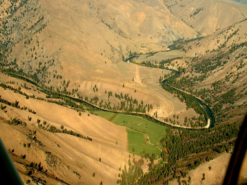
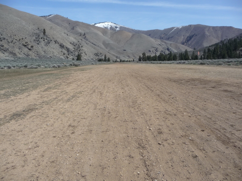
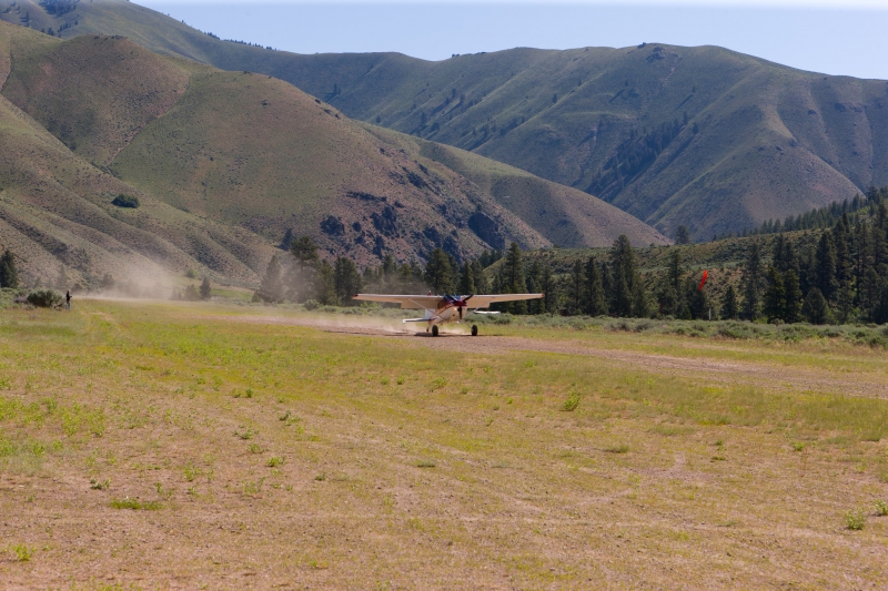
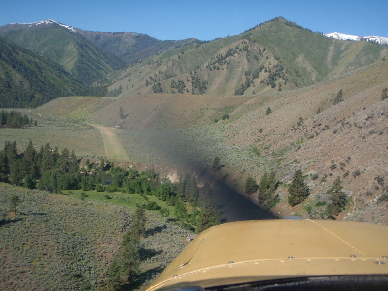
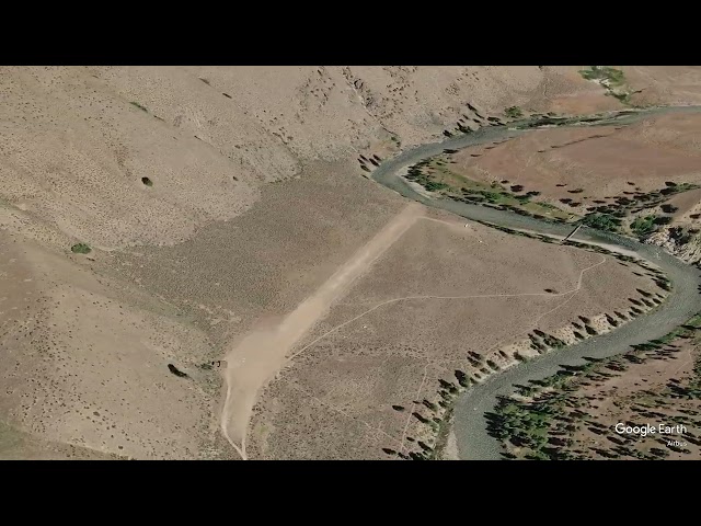
    Thomas Creek is a state-owned airstrip located in the Frank Church River of No Return Wilderness, situated between the Indian Creek and Mahoney Creek airstrips along the Middle Fork of the Salmon River. It lies approximately 31 miles north of Stanley, Idaho. The strip sits in the Middle Fork Salmon River valley at an elevation of 4,415 feet above sea level, with a runway measuring 2,100 by 75 feet — generous enough for larger bush planes and reported to be in good condition.

    Camping & Recreation
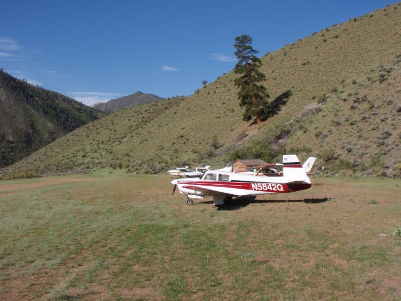
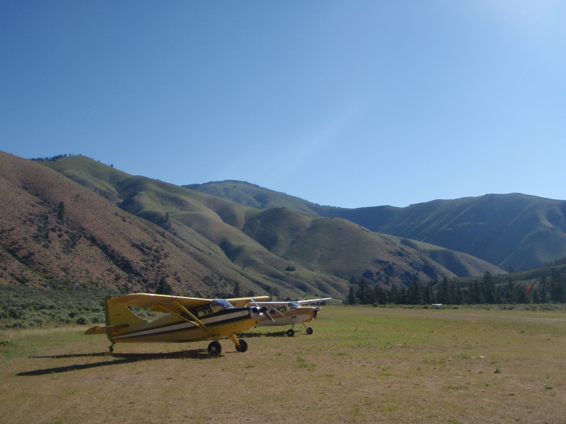
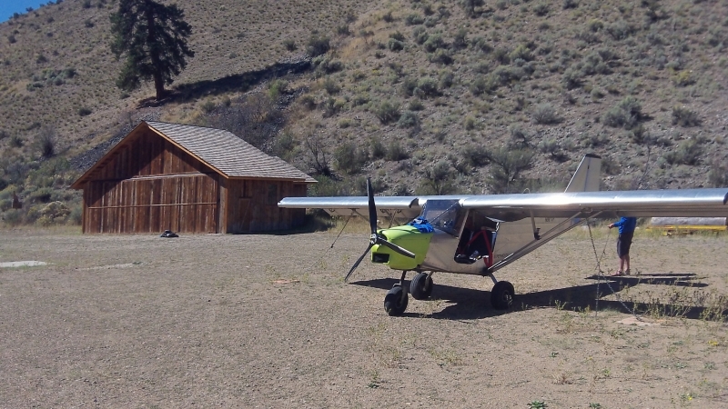
    There are no formal facilities at Thomas Creek, but there are spots to pitch a tent along the river or next to your airplane, though the runway area tends to be dry and dusty in summer months. The strip provides access to the Sunflower Hot Springs and the exclusive Middle Fork Lodge. The surrounding wilderness offers world-class fishing for salmon and steelhead in the Middle Fork, and the area is also a popular stopping point for rafters floating one of America's premier whitewater rivers.

    Notes & Warnings
    The FAA recommends landing on Runway 21 and departing on Runway 03. A go-around is noted as extremely difficult, and there is no winter maintenance performed at this airstrip. Density altitude is a significant factor given the canyon terrain and elevation. Pilots should be experienced in mountain flying before attempting a landing here, as the approach into the canyon requires careful assessment before committing to a final. The strip is uncontrolled and lacks any weather reporting — the nearest weather station is Challis Airport, approximately 36 nautical miles away.

    History
    Thomas Creek has been a fixture of Idaho backcountry flying for decades, serving as a critical access point to one of the most remote stretches of wilderness in the lower 48 states. As far back as the 1960s, pilots were flying light aircraft into Thomas Creek to chase salmon runs on the Middle Fork of the Salmon River, with the strip already established as a known destination among backcountry aviators. The airstrip has long served outfitters, anglers, and wilderness travelers for whom it represents the only practical way in short of a multi-day pack trail or a river raft. Its place within the Frank Church River of No Return Wilderness — one of the largest contiguous roadless areas in the United States — has cemented Thomas Creek's reputation as one of Idaho's most storied and challenging backcountry strips.

    Runway
    • Length

      2100

    • Width

      75

    • Surface

      TURF-DIRT-G

    Details
    • Facility ID

      2U8

    • Elevation

      4415

    • CTAF

      122.9

    • State

      Idaho

    Gallery
    Location

    Lat: 44.72330555556 , Long: -115.00397222222 - IDAHO, USA
    Get Directions
    Flyover Video
    Prev 1 of 1 Next
    • Runway Flyover - Thomas Creek, Idaho

      Runway Flyover - Thomas Creek, Idaho

      @shortfieldvideos
    Prev 1 of 1 Next
    Categories
    • Recreational
    Tags
    • Mountains
    • Canyon
    • Lakes/Rivers
    • Hot Springs
    Region
    • Northwest Mountain
    Ownership
    • Public
    Author
    shortfield

    Land here, before you land out there!

    mood_bad
  • No reviews/PIREPs have been posted yet.

  • Add a review

    Leave a Reply · Cancel reply

    You must be logged in to post a comment.

    Shortfield Playlist
    Prev 1 of 1 Next
    • Landing Thomas Creek, ID

      Landing Thomas Creek, ID

    • Thomas Creek Airstrip, Idaho Landing and Takeoff

      Thomas Creek Airstrip, Idaho Landing and Takeoff

      Thomas Creek Airstrip, Idaho Landing and Takeoff
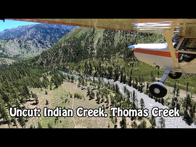
    • Uncut: Indian Creek to Thomas Creek, Idaho Backcountry

      Uncut: Indian Creek to Thomas Creek, Idaho Backcountry

      Uncut is the playlist of beautiful flights without narration or other editing. Just throw it on the big screen as wallpaper and enjoy...

      Gear:
      Hammock: https://amzn.to/2ZzAQez
      Flashlight: https://amzn.to/2NDZV5z
      InReach: https://amzn.to/2ZyCP2w
      Stove: https://amzn.to/2ZAV4EC
      Kindle: https://amzn.to/2MKTjTr
      Food: https://amzn.to/2NEqh7B
      GoPro 7: https://amzn.to/34euiFN
      Machete: https://amzn.to/2L78cNU
      Water Filter: https://amzn.to/2NG0L1E
    Prev 1 of 1 Next

    You May Also Be Interested In

    Marble Creek, ID

    The airstrip sits along Marble Creek, approximately 2.5 miles from the Middle Fork of the Salmon River. The…
    • 44.773472, -114.985278
    • Recreational

    MAHONEY CREEK USFS, ID

    A remote USFS bluff-top strip perched above one of Idaho's most spectacular wilderness river corridors, offering backcountry pilots a taste of the Frank Church without the most extreme technical demands.
    • 44.74458333333, -114.92138888889
    • Recreational

    Cougar Ranch, ID

    • 44.741142960523, -114.91922884025
    • Recreational

    © 2000-2025 shortfield.com

    Cart

      • Featured
      • Recreational
      • Restricted
      • Off-Airport
      • Abandoned
      • Outpost
      • Facebook
      • Twitter
      • Mail
      • Copy link