
Description
Location Overview
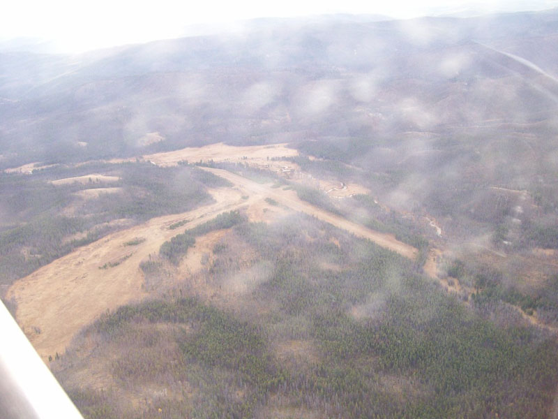
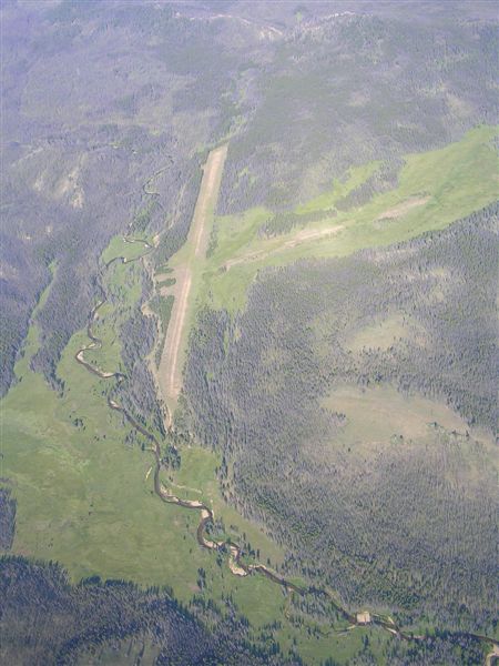
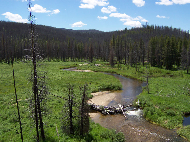
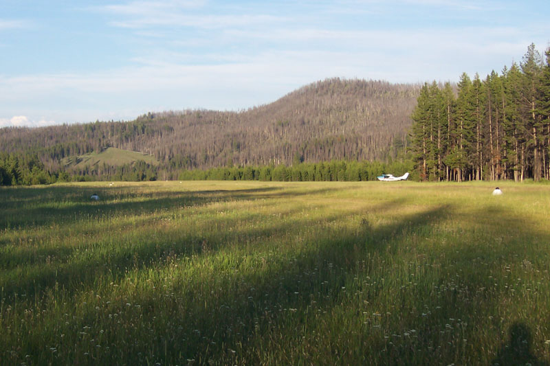
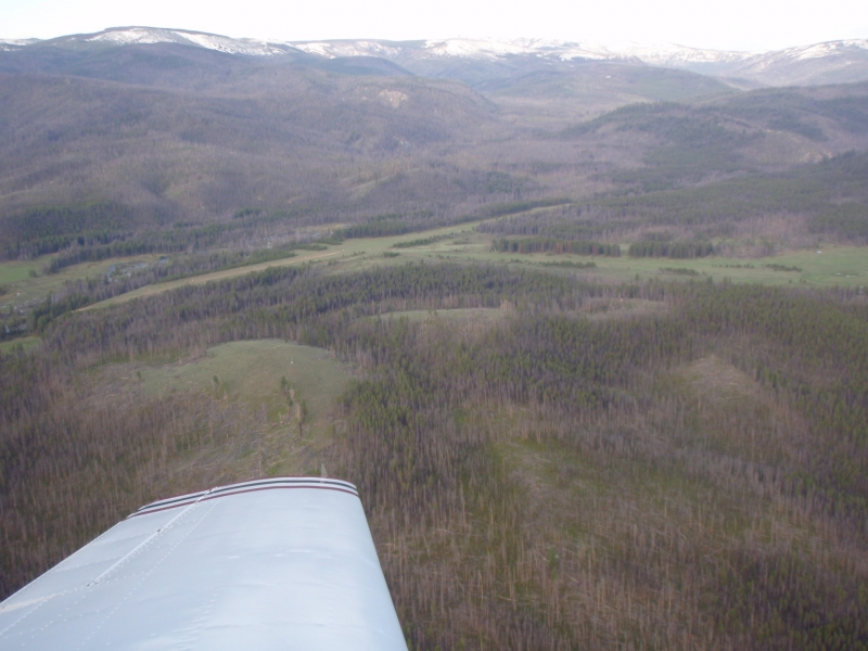
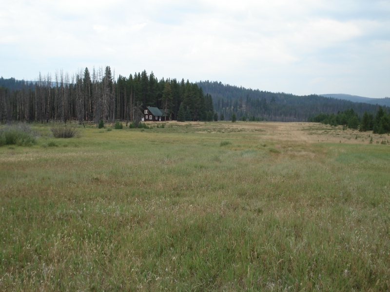
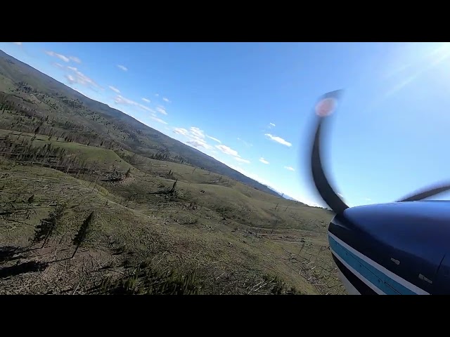
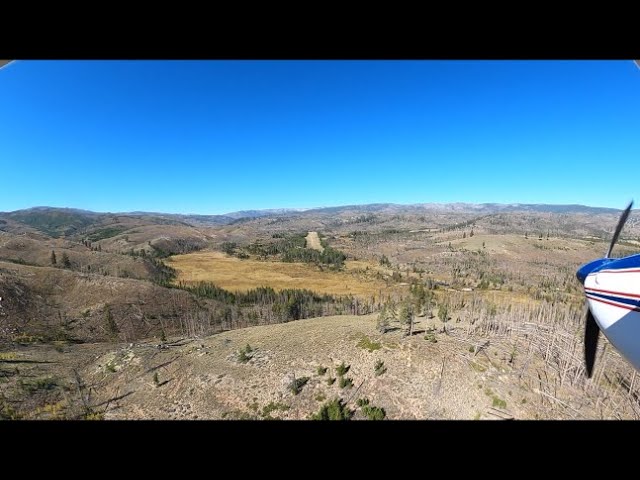
Chamberlain sits at roughly 5,765 feet elevation in the heart of the Frank Church-River of No Return Wilderness, one of the most remote parts of central Idaho, reachable only by foot, horseback, or aircraft. The strip is managed by the Krassel Ranger District of the Payette National Forest and lies within the Chamberlain Basin, surrounded by deceptively rising terrain. It's immediately adjacent to the Chamberlain Guard Station near Chamberlain Creek, and several Forest Service trails converge right at the field. Compared to most of the Idaho backcountry strips, Chamberlain sits a bit higher, and its surrounding valley is lined with tall pines and open meadow, with a creek running down through it.
Camping & Recreation
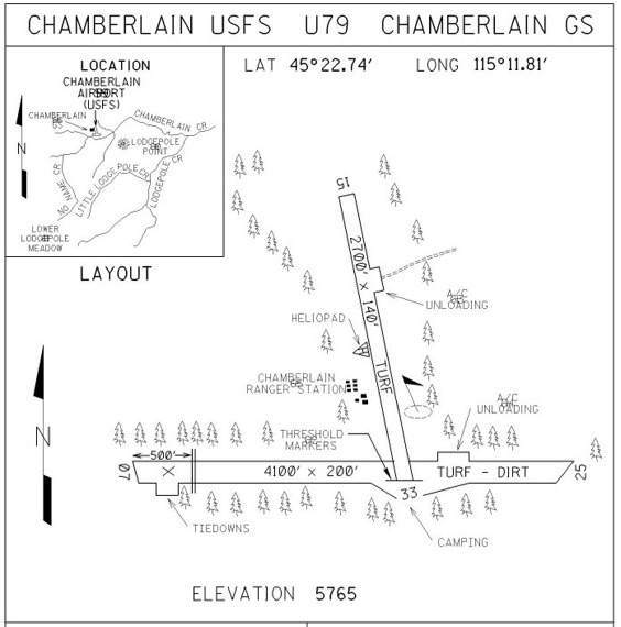
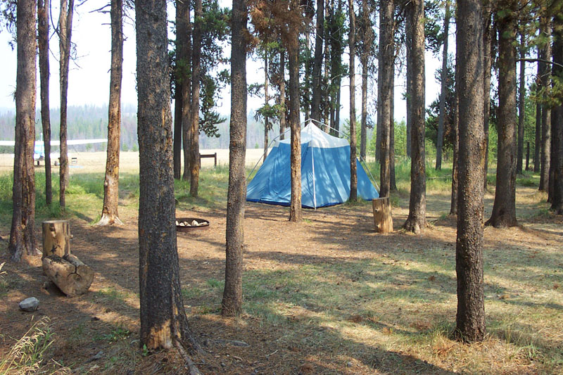
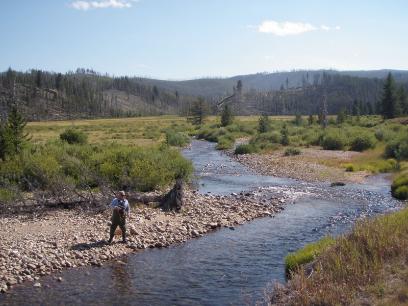
There's wilderness camping available at several sites next to the main runway, though the airstrip lost some of its old amenities after camping facilities were removed and major wildfires burned through the area. The Forest Service describes the adjacent camping area as a very rustic, dispersed campground used mainly by pilots and their families overnighting after flying in, and it also serves as a rest stop for hikers and horseback travelers making the trek into the basin. Beyond camping, the surrounding wilderness offers hiking and horsepacking on the extensive trail network, plus fishing along the creek and the broader draw of the Frank Church country, including whitewater rafting on the Salmon River and hunting for elk, deer, bear, and other big game. A short walk from camp leads to the nearby creek, and Flossie Lake lies within hiking distance to the west of the strip.
Notes & Warnings
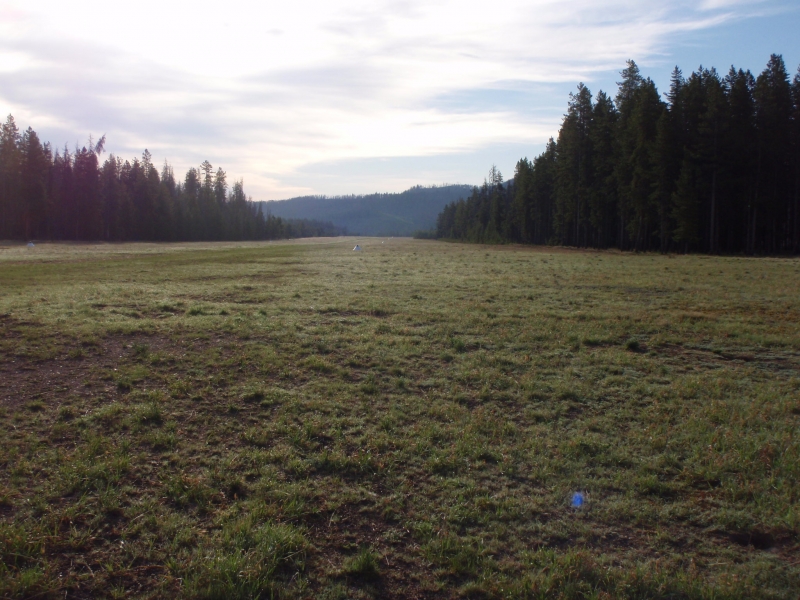
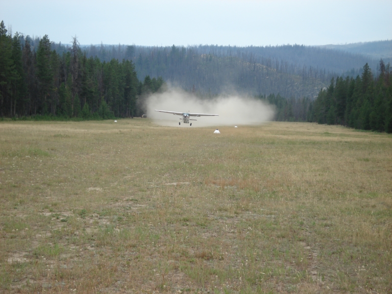
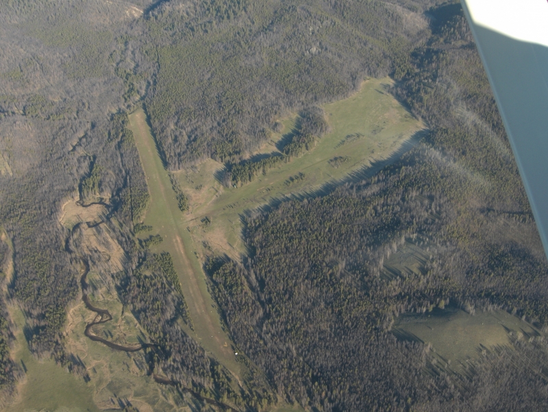
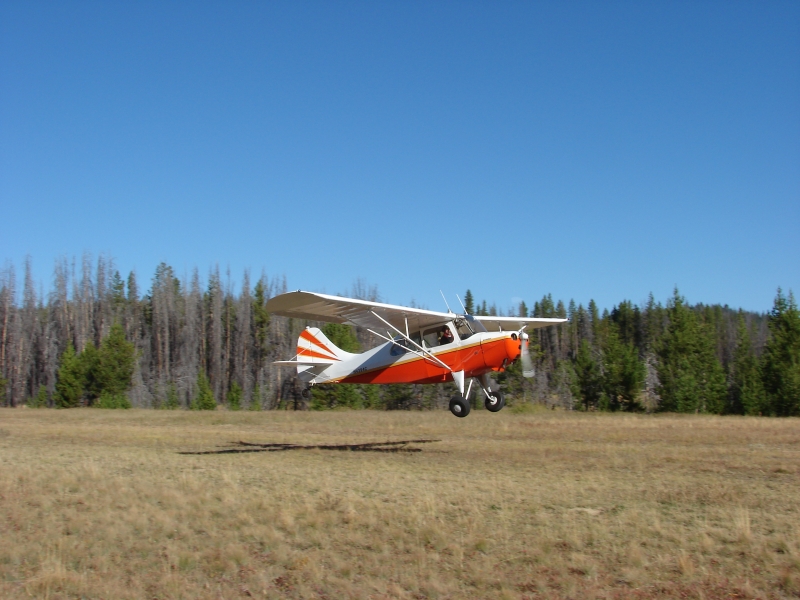
Chamberlain has two runways: 7/25, a 4,100-by-200-foot turf-and-dirt strip, and a shorter, narrower 15/33, at 2,700 by 140 feet with a turf surface; note that some more recent field reports and airport data list 15/33 as closed or obstructed, so current NOTAMs should always be checked before a flight. The main runway slopes upward to the west and is generally smooth, but pocked with gopher holes large enough to have damaged propellers, so pilots without a tailwheel are advised to shut down and hand-taxi around the holes, or have someone walk ahead to spot them. A more recent pilot report echoes this, describing the runway and tie-down areas as rough going. There are no published instrument procedures at the field, and it's a high-elevation strip within basin terrain that rises sharply around it, subject to temporary closure in early spring when the runway surface turns soft. CTAF is 122.9. As with any Idaho backcountry strip, density altitude, afternoon turbulence, and terrain awareness are major considerations, and a mountain-flying checkout is strongly recommended before attempting a landing here.
History
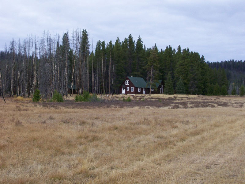
Long before it was an airstrip, Chamberlain Basin's gentle meadows and creek made it prime hunting ground, and Mountain Shoshone people frequented the area to hunt elk and other game until they were pressured out following the Sheepeater Campaign of 1879. Gold discoveries in the late 1890s drew prospectors through the basin, and it became a waypoint for miners traveling to a major gold strike to the south, eventually attracting a handful of settlers, some of whom traveled the historic Three Blaze Trail, an old mining route that historians and hikers are still working to fully rediscover today. The basin's protected status grew over time: the surrounding national forest land was designated Idaho Primitive Area in 1931, and in 1980 Congress folded it into the newly created Frank Church-River of No Return Wilderness. The Chamberlain Guard Station beside the airstrip dates to this ranching-and-Forest-Service era; its main log residence was built in 1937-38 using peeled lodgepole pine cut on site, and the historic district was added to the National Register of Historic Places in 2004. In more recent decades the airstrip itself has weathered change: once one of the more popular fly-in destinations in the Idaho backcountry, it saw the removal of camping amenities and repeated wildfire damage that diminished its former popularity, while the guard station today continues to serve as a summer base for Forest Service trail crews working to keep the surrounding wilderness accessible.
Runway
-
Length
4100
-
Width
200
-
Surface
TURF-DIRT-F
All Runways
| Identifier | Length | Width | Surface |
| 07/25 | 4100 | 200 | TURF-DIRT-F |
| 15/33 | 2700 | 140 | TURF-P |
Details
-
Facility ID
U79
-
Elevation
5765
-
CTAF
122.9
-
State
Idaho
Gallery
Location
Lat: 45.37907833333 , Long: -115.19677972222 - IDAHO, USA






Add a review