Sign in or Register
    • Featured
    • Recreational
    • Restricted
    • Off-Airport
    • Abandoned
    • Outpost
    • Home
    • Explore
    • STOL Gear

    VINES, ID

    • Overview
    • Reviews / PIREPs 0
    • Videos
    • Events
    • prev
    • next
    • Leave a Review / PIREP
    • Bookmark
    • Report
    • Share
    • prev
    • next
    Description

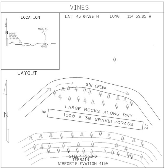
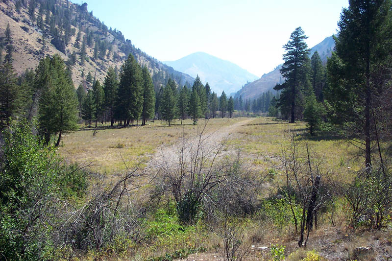
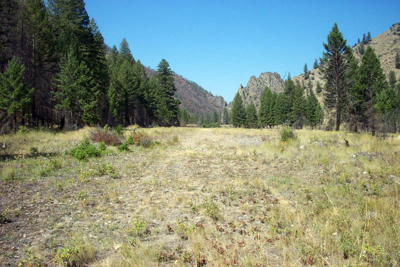
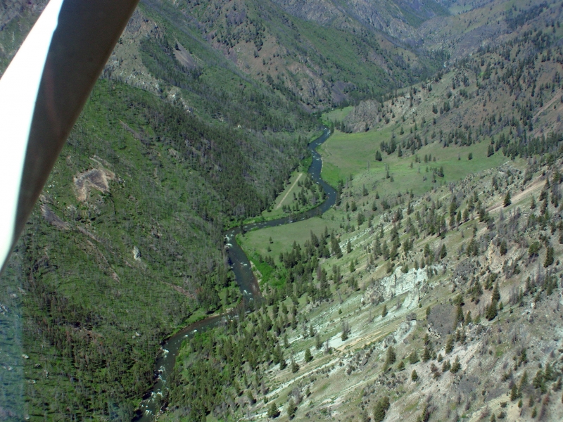
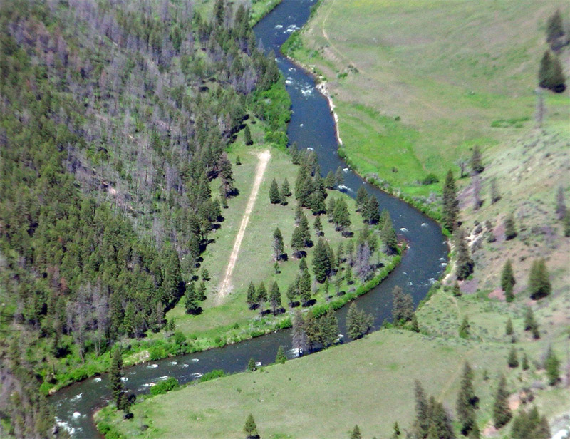
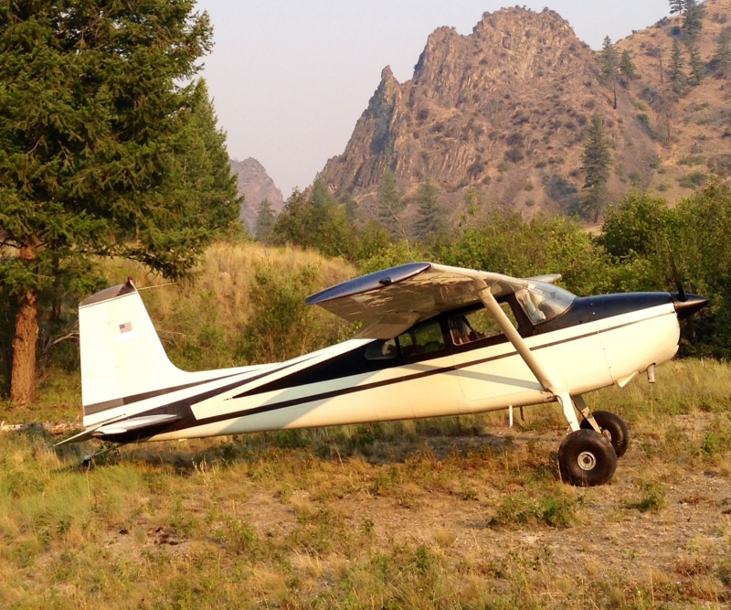
    Vines airstrip is difficult and may be overgrown.  The airstrip is located on Big Creek approximately 3 miles upstream from the confluence with Cabin Creek.  Tall trees on the approach end require a steep angle on landing.  The runway is rough and has a 4% upslope, no wind sock or markings.

    Bring your own tie-downs.

    Camping
    There are no developed camping spots.  Fly it in, fly it out!


    Runway
    • Length

      1100

    • Width

      30

    • Surface

      GRVL

    Details
    • Facility ID

      No ID 018

    • Elevation

      1100

    • CTAF

      122.9

    Gallery
    Location

    Lat: 45.13244444444 , Long: -115.00000000000 - IDAHO, USA
    Get Directions
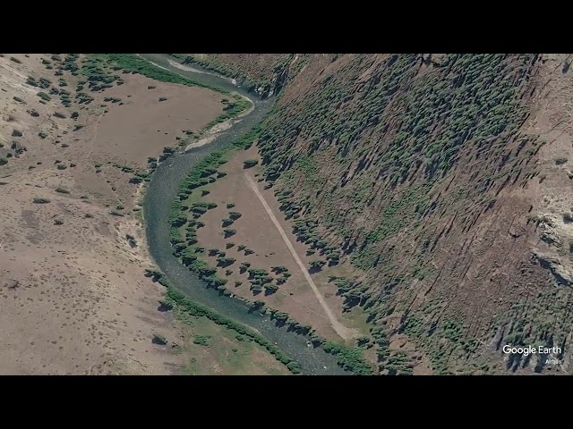
    Flyover Video
    Prev 1 of 1 Next
    • Runway Flyover - Vines, Idaho

      Runway Flyover - Vines, Idaho

      @shortfieldvideos
    Prev 1 of 1 Next
    Categories
    • Recreational
    Tags
    • Mountains
    • Canyon
    Region
    • Northwest Mountain
    Ownership
    • Public
    Author
    shortfield

    Land here, before you land out there!

    mood_bad
  • No reviews/PIREPs have been posted yet.

  • Add a review

    Leave a Reply · Cancel reply

    You must be logged in to post a comment.

    Shortfield Playlist
    Prev 1 of 1 Next
    • Landing Vines ID

      Landing Vines ID

    Prev 1 of 1 Next

    You May Also Be Interested In

    MILE HI, ID

    CAUTION: this airstrip is only suitable for high performance STOL aircraft with experienced mountain…
    • 45.15133333333, -114.99366666667
    • Recreational

    CABIN CREEK USFS, ID

    Cabin Creek airstrip is about 1.5 miles up Cabin Creek from Big Creek, nestled between mountains.  The runway…
    • 45.14352444444, -114.92898972222
    • Recreational

    DEWEY MOORE, ID

    This airport is a difficult, short (700 feet) runway located approximately five miles up Big Creek from Vines…
    • 45.149646, -115.076873
    • Recreational

    © 2000-2025 shortfield.com

    Cart

      • Featured
      • Recreational
      • Restricted
      • Off-Airport
      • Abandoned
      • Outpost
      • Facebook
      • Twitter
      • Mail
      • Copy link