Sign in or Register
    • Featured
    • Recreational
    • Restricted
    • Off-Airport
    • Abandoned
    • Outpost
    • Home
    • Explore
    • STOL Gear

    EAGLE CREEK, ID

    • Overview
    • Reviews / PIREPs 0
    • Videos
    • Events
    • prev
    • next
    • Leave a Review / PIREP
    • Bookmark
    • Report
    • Share
    • prev
    • next
    Description

    This an uncharted airstrip and the conditions are unknown.  The strip may be closed to the public and/or dangerous. 


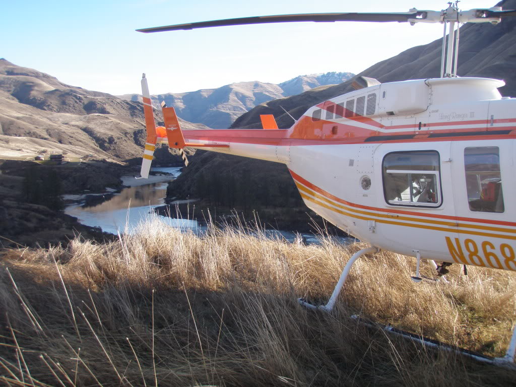
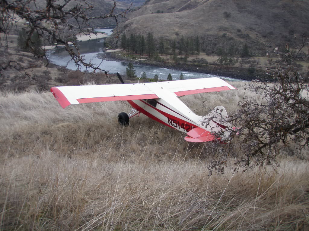
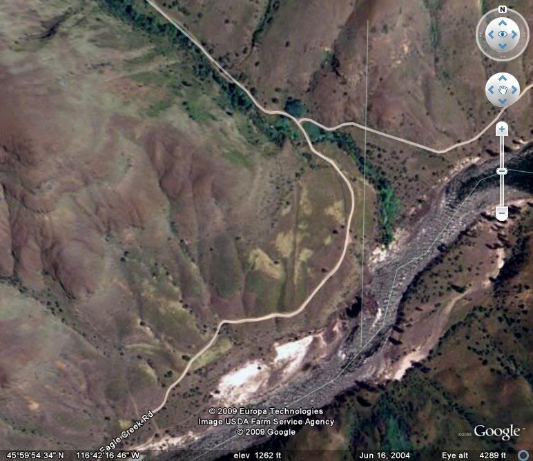
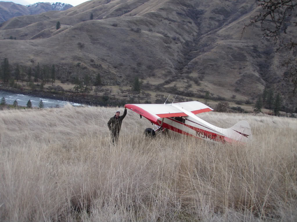
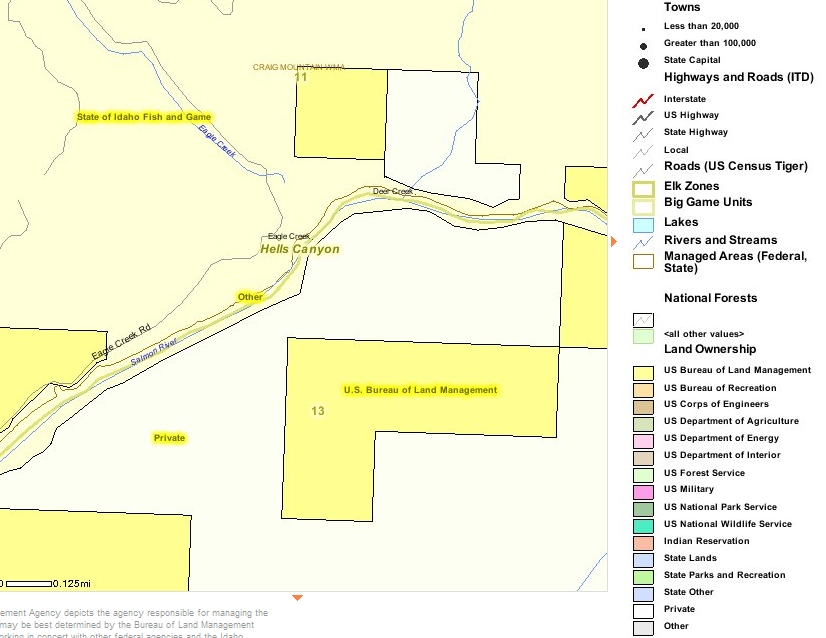
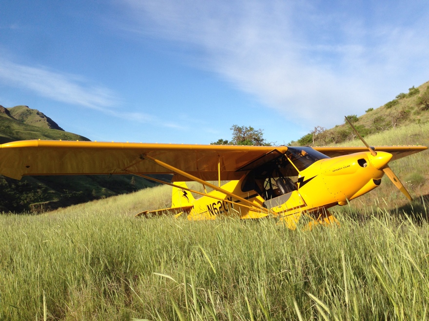
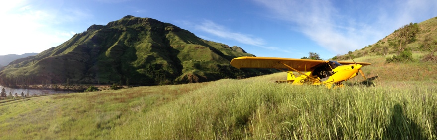
    According to maps, the Eagle Creek Airstip appears to be located on Idaho Department of Fish & Game property.  The airstip is about 800 feet long, and has a 6% upslope. There is a private residence located on the east side of Eagle Creek at the confluence with the Main Salmon River. It is recommend not to over fly  this private structure.  The airstip itself is oriented for an uphill landing heading northest approaching from downstream on the Salmon River then a left base for landing.  Great beaches. Be very careful if you do utilize this airstip!


    Runway
    • Length

      1000

    • Width

      ?

    • Surface

      DIRT

    Details
    • Facility ID

      No ID 057

    • Elevation

      1200

    • CTAF

      122.9

    • State

      ID

    Gallery
    Location

    Lat: 45.99836300000 , Long: -116.70385800000 - IDAHO, USA

    Get Directions
    Categories
    • Recreational
    Tags
    • Mountains
    • Canyon
    Region
    • Northwest Mountain
    Ownership
    • Public
    Author
    shortfield

    Land here, before you land out there!

    mood_bad
  • No reviews/PIREPs have been posted yet.

  • Add a review

    Leave a Reply · Cancel reply

    You must be logged in to post a comment.

    You May Also Be Interested In

    Deer Creek, ID

    Private Airstrip.  Do not land without permission from owners.
    • 46.00040111883, -116.69141163482
    • Recreational

    WAPSHILLA CREEK, ID

    • 45.94195900000, -116.76370400000
    • Recreational

    CACHE CREEK, OR

    Located on the Oregon side of the Snake River, Cache Creek is a rough, uphill, dog-legged strip located…
    • 45.98055555556, -116.90305555556
    • Recreational

    © 2000-2025 shortfield.com

    Cart

      • Featured
      • Recreational
      • Restricted
      • Off-Airport
      • Abandoned
      • Outpost
      • Facebook
      • Twitter
      • Mail
      • Copy link