Sign in or Register
    • Featured
    • Recreational
    • Restricted
    • Off-Airport
    • Abandoned
    • Outpost
    • Home
    • Explore
    • Shop

    Grapevine, AZ

    • Overview
    • Reviews / PIREPs 0
    • Events
    • Videos
    • prev
    • next
    • Bookmark
    • Share
    • Leave a Review / PIREP
    • Report
    • prev
    • next
    Description

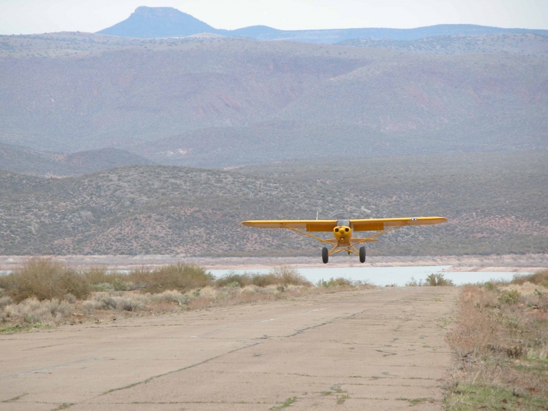
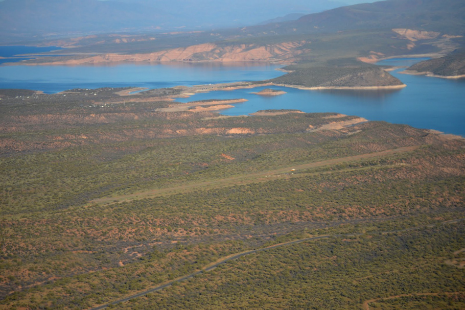
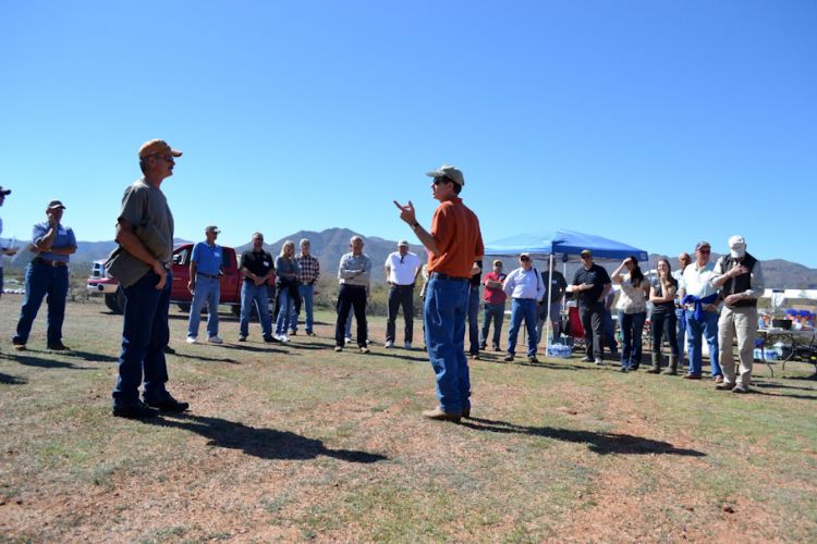
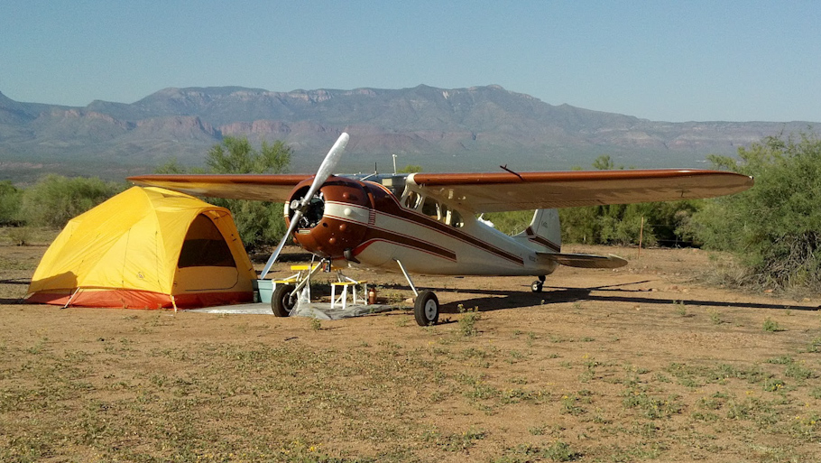
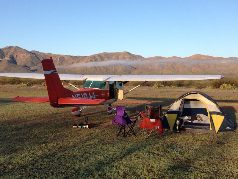
    Grapevine was closed to public use in June of 1997. In February of 2012, after nearly 2 years of negotiating with the FS we, that's the APA and RAF, have received special permission to open the site to the public every third weekend of each month, and this remains the situation today. The APA has placed a fire ring with cooking grate, picnic tables, and leases a Port-A-John for the site from September through May of each year, also providing a volunteer camp host. This year we submitted a maintenance plan to the District Ranger, who has become a real friend of the pilot community, as we work towards placing this gem back on the charts and increase available use days. Check the APA's calendar for the open weekend schedule at www.AZPilots.org and download the pilot briefing under the Resources tab. This is an asphalt airstrip accessing a beautiful area that is closed to all other access except aviation. The lake is a 1400' walk from the north end and it is an incredible place just 20 minutes east of Phoenix! We need your donations to provide some necessary maintenance we have committed to, please help us keep this strip open! https://azpilots.org/more-resources/backcountry-donations

    Runway
    • Length

      3800

    • Width

      40

    • Surface

      ASPH

    Details
    • Facility ID

      No ID 188

    • Elevation

      3500

    • CTAF

      122.9

    • State

      AZ

    Gallery
    Location

    Lat: 33.63260431139 , Long: -111.05841658582 - , USA

    Get Directions
    Categories
    • Recreational
    Tags
    • Desert
    Region
    • Western Pacific
    Ownership
    • Public
    Author
    shortfield
    mood_bad
  • No comments yet.
  • Add a review

    Leave a Reply · Cancel reply

    You must be logged in to post a comment.

    YouTube Search
    The request cannot be completed because you have exceeded your quota.

    You May Also Be Interested In

    SUPERIOR MUNI, AZ

    Just south of the I-60 and west of the city. The runway runs from south-west to north-east. The field slopes…
    • 33.27783388889, -111.12706500000
    • Recreational

    PLEASANT VALLEY AIRSTRIP, AZ

    The RAF has just negotiated the re-opening of Pleasant Valley Airstrip, now 24AZ.The APA and RAF just…
    • 34.15809750000, -110.93540250000
    • Restricted

    RED CREEK, AZ

    • 34.15983000000, -111.72743800000
    • Recreational

    © 2000-2021 shortfield.com

    Cart

      • Featured
      • Recreational
      • Restricted
      • Off-Airport
      • Abandoned
      • Outpost
      • Facebook
      • Twitter
      • WhatsApp
      • Telegram
      • LinkedIn
      • Tumblr
      • VKontakte
      • Mail
      • Copy link