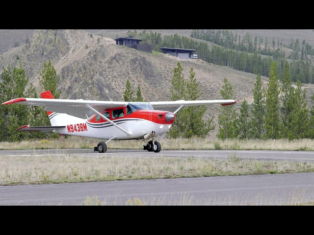
Description
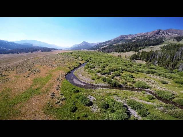
High elevation airstrip located in a sweeping basin dotted with small mountain lakes and framed by expansive views. There are no amenities to speak of, but what the area lacks in infrastructure it more than makes up for in solitude and scenery.
The Copper Basin airstrip is located in the southern reaches of the Challis National Forest, nestled within a remote and strikingly beautiful sage-covered valley. The Pioneer Mountains trace the western edge of the basin, while the White Knob Mountains rise to the east. Just one mile southeast of the airstrip is a wetland area where the headwaters of the East Fork of the Big Lost River originate. Directly to the east sits the Copper Basin Mine.
There are no developed camping facilities on site, but the area offers excellent opportunities for fishing and hunting sage grouse. Five miles to the southwest, along the Copper Basin Loop Road, you'll find the Lake Creek Trailhead, a rewarding destination for pilots, mountain bikers, and backcountry campers alike.
Details
-
Facility ID
OU2
Location
Lat: 43.801494, Long: -113.831072 - Idaho, USA


Add a review