Sign in or Register
    • Featured
    • Recreational
    • Restricted
    • Off-Airport
    • Abandoned
    • Outpost
    • Home
    • Explore
    • STOL Gear

    SEELEY LAKE, MT

    • Overview
    • Reviews / PIREPs 0
    • Videos
    • Events
    • prev
    • next
    • Leave a Review / PIREP
    • Bookmark
    • Report
    • Share
    • prev
    • next
    Description

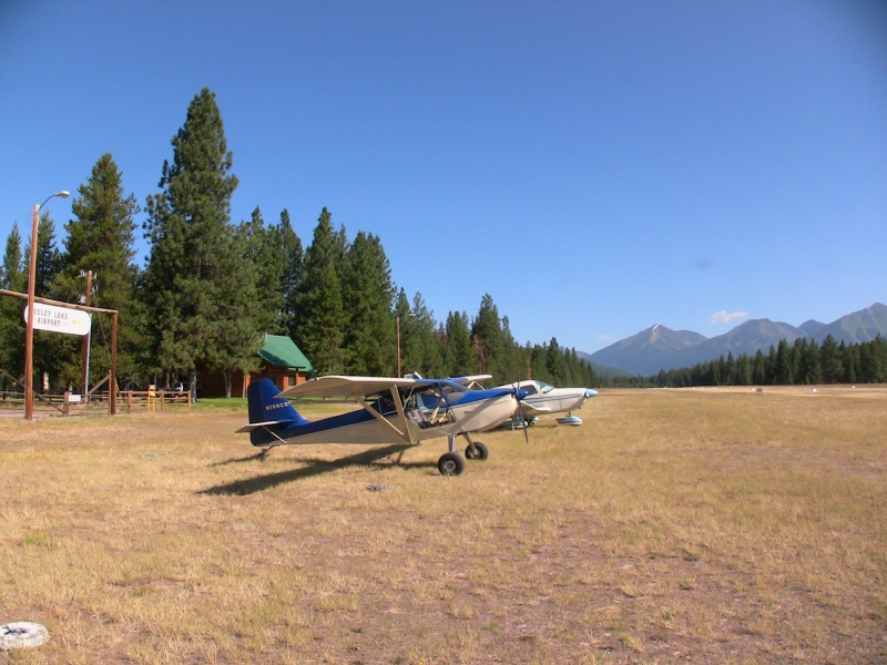
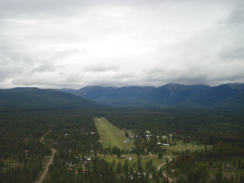
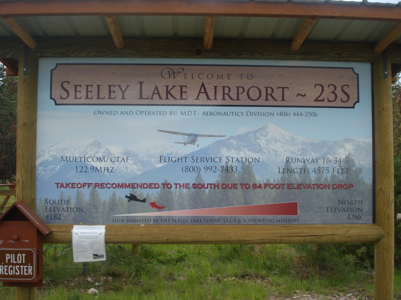
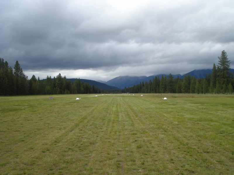
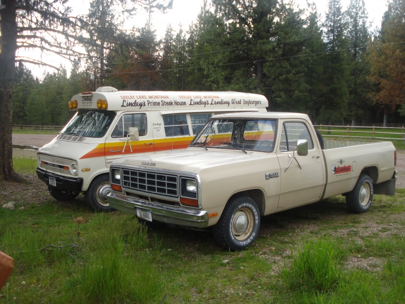
    The airport offers camping facilities, a covered grill, and picnic tables. Pilots should note that northbound departures are not recommended due to high terrain. Courtesy vehicles are typically available. The town is approximately two miles away.

    Mountain bikes are available as well, secured to a chain-link fence near the covered grill and picnic area. Access to both the bikes and courtesy car keys is obtained via the emergency frequency; the keys are stored in a lock box mounted on the fence near the vehicles.

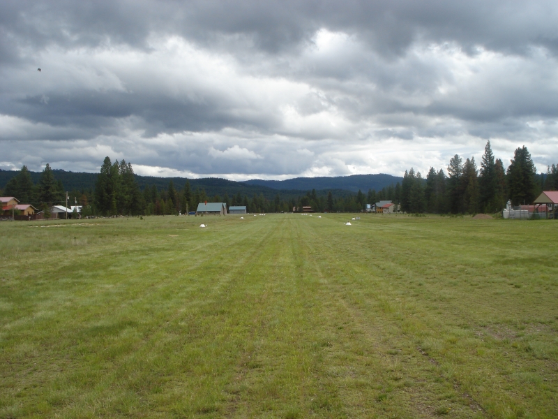
    The runway is equipped with lighting and a rotating beacon, and is reportedly plowed during winter months. A concrete run-up pad is located at the north end of the strip.

    Runway
    • Length

      4575

    • Width

      75

    • Surface

      TURF-G

    Details
    • Facility ID

      23S

    • Elevation

      4256

    • CTAF

      122.9

    Gallery
    Location

    Lat: 47.18194444444 , Long: -113.44522222222 - MONTANA, USA

    Get Directions
    Categories
    • Recreational
    Tags
    • Mountains
    Region
    • Northwest Mountain
    Ownership
    • Public
    Author
    shortfield

    Land here, before you land out there!

    mood_bad
  • No reviews/PIREPs have been posted yet.

  • Add a review

    Leave a Reply · Cancel reply

    You must be logged in to post a comment.

    You May Also Be Interested In

    ROCK CREEK, MT

    This airstrip is no longer private, and has been renamed Rock Creek (RC0). There is a power line…
    • 46.72714916667, -113.65759333333
    • Recreational

    Benchmark, MT

    Benchmark is a remote Forest Service airstrip that serves as a sky-high gateway into the heart of the Bob Marshall and Scapegoat Wilderness areas.
    • 47.480951, -112.870907
    • Recreational

    MEADOW CREEK USFS, MT

    A wild and welcoming backcountry gem perched on the northern edge of the Bob Marshall Wilderness, where the river, the trails, and the sky all meet.
    • 47.84936111111, -113.41741666667
    • Recreational

    © 2000-2025 shortfield.com

    Cart

      • Featured
      • Recreational
      • Restricted
      • Off-Airport
      • Abandoned
      • Outpost
      • Facebook
      • Twitter
      • Mail
      • Copy link