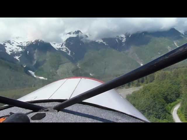
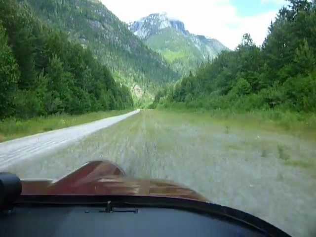
Sign in or Register
    • Featured
    • Recreational
    • Restricted
    • Off-Airport
    • Abandoned
    • Outpost
    • Home
    • Explore
    • Shop

    Homathko, BC - Canada

    • Overview
    • Reviews / PIREPs 0
    • Events
    • Videos
    • prev
    • next
    • Bookmark
    • Share
    • Leave a Review / PIREP
    • Report
    • prev
    • next
    Runway
    • Length

      ?

    • Width

      ?

    • Surface

      GRAVEL

    Details
    • Facility ID

      new

    • Elevation

      ?

    • CTAF

      122.9

    • State

      BC - Canada

    Location

    Lat: 50.94996096111 , Long: -124.88776400472 - , USA

    Get Directions
    Categories
    • Recreational
    Region
    • Western Pacific
    Ownership
    • Public
    Author
    shortfield
    mood_bad
  • No comments yet.
  • Add a review

    Leave a Reply · Cancel reply

    You must be logged in to post a comment.

    YouTube Search
    Prev 1 of 6 Next
    • Moh River, the Bute Inlet & the Homathko Camp

      Moh River, the Bute Inlet & the Homathko Camp

      According to the locals the Moh River airstrip located on the Bute Inlet was overgrown and not advisable. Well we decided to check it out anyway and to our surprise it was pretty clear but there was some surveying equipment on the field. We landed taking care not to hit the equipment and then started down a steep fire road to the inlet. After chilling out for a while it was time to head back and continue our journey up the inlet towards the Homathko River. We heard that the Scar Creek airstrip was washed out by the river a few years back and unfortunately that turned out to be the case. I had hoped that maybe there was 500 feet left but there was nothing So it was back to Homathko Camp for the night. I did do an expedition ride out the road next to the river (seen about 4:40) as far as I could but it got really overgrown and unrideable about five miles in.
    • Homathko Camp: Takeoff

      Homathko Camp: Takeoff

      Murphy Moose taking off from Homathko Camp, Bute Inlet, BC, Canada
    • Homathko Camp takeoff

      Homathko Camp takeoff

      Murphy Elite taking off from Homathko Camp, Bute Inlet, BC, Canada
    • Homathko Camp

      Homathko Camp

      Homathko camp and surrounding area.
    • Homathko Camp Re Supply Flight Landing

      Homathko Camp Re Supply Flight Landing

      Landing the Beaver at Homathko camp at the North end of Bute Inlet. At heavy weights - the airplane weighs 2 1/2 tons loaded - , with full flap (and the Beaver has a LOT of flap), and in gusty winds, it is prudent to carry a little extra speed. The wind on the strip is almost always calm due to the sheltering effect of the trees but this is never an issue as the strip is 3000' long. There is a mountain at the far end so for most aircraft it is a "one way strip" that requires the use of a pre-determined "go around" point.
    • Moose White Saddle airstrip fly-over

      Moose White Saddle airstrip fly-over

      Murphy Moose flying over the runway at White Saddle Ranch, Caribou Range, BC, Canada.
    Prev 1 of 6 Next

    You May Also Be Interested In

    Gun Lake, BC - Canada

    Soft sand with some ATV rutts at lake end of strip. About 1 km walk down to the lake.
    • 50.89738800000, -122.83717400000
    • Recreational

    Calvin Falls, BC - Canada

    At low tide sand is hard packed below high tide land. Essential to check tide tables especially if staying…
    • 49.65959104187, -126.84923354415
    • Recreational

    © 2000-2021 shortfield.com

    Cart

      • Featured
      • Recreational
      • Restricted
      • Off-Airport
      • Abandoned
      • Outpost
      • Facebook
      • Twitter
      • WhatsApp
      • Telegram
      • LinkedIn
      • Tumblr
      • VKontakte
      • Mail
      • Copy link