Description
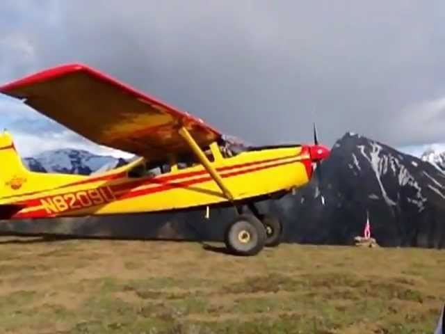
Perched on a high plateau deep within Wrangell-St. Elias National Park, the Wolverine backcountry airstrip is one of the most dramatic places to land in all of Alaska. The views alone are worth the flight — sweeping panoramas of the Chitistone River Valley far below and jagged, snow-capped peaks crowding the horizon above.
Camping:
Camp can be made near the airstrip. There are no developed camp sites or ammenities.
Surroundings
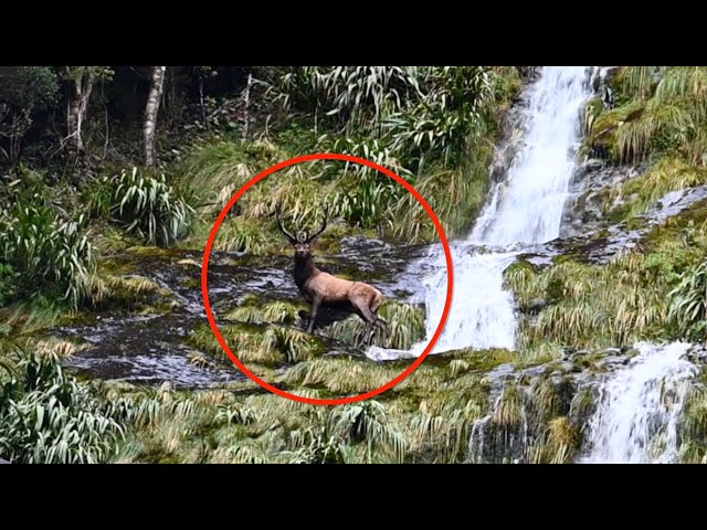
Wander near the airstrip and still feel like you've stepped into another world, or push further into the hills where rocky talus slopes climb toward scraggly ridgelines, perfect for a satisfying scramble. Venture farther still and you'll find cascading waterfalls tucked into the folds of the terrain and Dall sheep picking their way across the hillsides with practiced ease.
This is Alaska's backcountry at its most elemental — no trails, no crowds, no limits. Whether you're looking for a leisurely afternoon among wildflowers or a full-day ridge push, Wolverine delivers.Explore trailless terrain ranging from gentle tundra strolls to challenging ridge scrambles. Watch Dall sheep, marmots, and ground squirrels go about their days in undisturbed wilderness. Catch the meadows at their most spectacular during peak wildflower season in late July through early August
Runway
-
Length
?
-
Width
?
-
Surface
DIRT
Details
-
Facility ID
No ID 195
-
Elevation
5189
-
CTAF
122.9
Location
Lat: 61.50941300000 , Long: -142.29625600000 - , USA


Add a review